248 State Rd Unit 1 Westport, MA 02790
North Westport NeighborhoodEstimated Value: $345,000
4
Beds
2
Baths
1,844
Sq Ft
$187/Sq Ft
Est. Value
About This Home
This home is located at 248 State Rd Unit 1, Westport, MA 02790 and is currently priced at $345,000, approximately $187 per square foot. 248 State Rd Unit 1 is a home located in Bristol County with nearby schools including Alice A. Macomber Primary School, Westport Elementary School, and Westport Middle-High School.
Ownership History
Date
Name
Owned For
Owner Type
Purchase Details
Closed on
Apr 6, 2018
Sold by
Route 6 Enterprises Ll
Bought by
Double Db Llc
Current Estimated Value
Home Financials for this Owner
Home Financials are based on the most recent Mortgage that was taken out on this home.
Original Mortgage
$288,000
Outstanding Balance
$247,445
Interest Rate
4.4%
Mortgage Type
New Conventional
Purchase Details
Closed on
Mar 31, 2005
Sold by
Jane Knapp T and Stasz Edward S
Bought by
Bulgarmarsh Rlty Llc
Home Financials for this Owner
Home Financials are based on the most recent Mortgage that was taken out on this home.
Original Mortgage
$267,750
Interest Rate
5.61%
Mortgage Type
Purchase Money Mortgage
Create a Home Valuation Report for This Property
The Home Valuation Report is an in-depth analysis detailing your home's value as well as a comparison with similar homes in the area
Home Values in the Area
Average Home Value in this Area
Purchase History
| Date | Buyer | Sale Price | Title Company |
|---|---|---|---|
| Double Db Llc | $360,000 | -- | |
| Bulgarmarsh Rlty Llc | $355,000 | -- |
Source: Public Records
Mortgage History
| Date | Status | Borrower | Loan Amount |
|---|---|---|---|
| Open | Double Db Llc | $288,000 | |
| Previous Owner | Bulgarmarsh Rlty Llc | $267,750 |
Source: Public Records
Tax History Compared to Growth
Tax History
| Year | Tax Paid | Tax Assessment Tax Assessment Total Assessment is a certain percentage of the fair market value that is determined by local assessors to be the total taxable value of land and additions on the property. | Land | Improvement |
|---|---|---|---|---|
| 2025 | $15,575 | $2,090,600 | $389,300 | $1,701,300 |
| 2024 | $15,881 | $2,054,400 | $353,100 | $1,701,300 |
| 2023 | $15,975 | $1,957,700 | $330,500 | $1,627,200 |
| 2022 | $2,380 | $1,568,900 | $355,300 | $1,213,600 |
| 2021 | $2,380 | $276,100 | $117,800 | $158,300 |
| 2020 | $2,291 | $271,800 | $113,500 | $158,300 |
| 2019 | $2,198 | $265,800 | $120,200 | $145,600 |
| 2018 | $2,397 | $293,400 | $139,000 | $154,400 |
| 2017 | $2,305 | $289,200 | $139,000 | $150,200 |
| 2016 | $2,239 | $283,000 | $139,000 | $144,000 |
| 2015 | $2,058 | $259,500 | $139,000 | $120,500 |
Source: Public Records
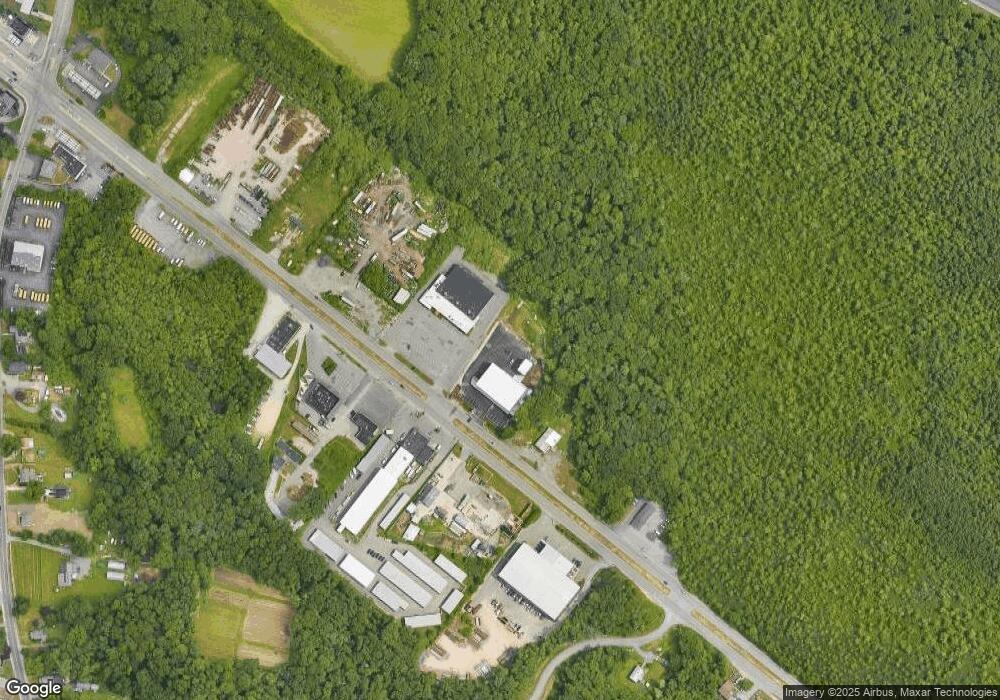
Map
Nearby Homes
- 33 William St
- 6 Beaulieu St
- 25 Beaulieu St
- 128 Old Bedford Rd
- 9 Register Ave
- 3 Diane Way
- 92 Benoit St
- 34 Alsop St
- 125 Angell St
- 100 D Dr
- 20 Faulkner St
- 37 Eaton St
- 219 Earle St Unit 3
- 217 Earle St Unit 2
- 215 Earle St Unit 1
- 1792 Pleasant St Unit 1808
- 85 Reney St
- 172 Earle St
- 89 Lafayette St
- 116 Gifford Rd
- 248 State Rd
- 260 State Rd
- 237C Sate Rd Unit C
- 237 State Rd Unit B
- 237 State Rd Unit A
- 237 State Rd
- 237C State Rd Unit C
- 237 State Rd Unit A&B
- 237C State Rd
- 245 State Rd
- 245 State Rd Unit C
- 280 State Rd
- 227 State Rd
- 276 State Rd
- 275 State Rd
- 231 State Rd Unit 235
- 231 State Rd
- 231 State Rd Unit A
- 231 State Rd Unit B
- 231 State Rd Unit 1