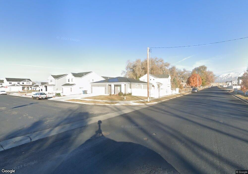
248 W 400 S American Fork, UT 84003
Estimated Value: $509,000 - $564,000
3
Beds
2
Baths
1,452
Sq Ft
$375/Sq Ft
Est. Value
About This Home
This home is located at 248 W 400 S, American Fork, UT 84003 and is currently estimated at $544,382, approximately $374 per square foot. 248 W 400 S is a home with nearby schools including Greenwood Elementary School, American Fork Junior High School, and American Fork High School.
Ownership History
Date
Name
Owned For
Owner Type
Purchase Details
Closed on
Apr 18, 2024
Sold by
Michels Mark Allen
Bought by
Michels Mark A and Michels Richard A
Current Estimated Value
Purchase Details
Closed on
Jun 24, 2021
Sold by
Michels Mark A and Michels Richard A
Bought by
Michels Mark Allen and Michels M
Home Financials for this Owner
Home Financials are based on the most recent Mortgage that was taken out on this home.
Original Mortgage
$338,500
Interest Rate
2.9%
Mortgage Type
New Conventional
Purchase Details
Closed on
Aug 27, 2020
Sold by
Woodside Homes Of Utah Llc
Bought by
Michels Mark A and Michels Richard A
Home Financials for this Owner
Home Financials are based on the most recent Mortgage that was taken out on this home.
Original Mortgage
$335,806
Interest Rate
2.9%
Mortgage Type
New Conventional
Create a Home Valuation Report for This Property
The Home Valuation Report is an in-depth analysis detailing your home's value as well as a comparison with similar homes in the area
Home Values in the Area
Average Home Value in this Area
Purchase History
| Date | Buyer | Sale Price | Title Company |
|---|---|---|---|
| Michels Mark A | -- | None Listed On Document | |
| Michels Mark Allen | -- | Integrated Ttl Ins Svcs Llc | |
| Michels Mark A | -- | Us Title Ins Agency |
Source: Public Records
Mortgage History
| Date | Status | Borrower | Loan Amount |
|---|---|---|---|
| Previous Owner | Michels Mark Allen | $338,500 | |
| Previous Owner | Michels Mark A | $335,806 |
Source: Public Records
Tax History Compared to Growth
Tax History
| Year | Tax Paid | Tax Assessment Tax Assessment Total Assessment is a certain percentage of the fair market value that is determined by local assessors to be the total taxable value of land and additions on the property. | Land | Improvement |
|---|---|---|---|---|
| 2025 | $2,377 | $280,610 | $264,100 | $246,100 |
| 2024 | $2,377 | $264,110 | $0 | $0 |
| 2023 | $2,264 | $266,695 | $0 | $0 |
| 2022 | $2,265 | $263,340 | $0 | $0 |
| 2021 | $1,934 | $351,200 | $165,800 | $185,400 |
| 2020 | $1,528 | $148,000 | $148,000 | $0 |
Source: Public Records
Map
Nearby Homes
- 316 W 390 S
- 429 S Storrs Ave
- 424 S 340 W
- 365 W 370 S
- 412 S 390 W
- 391 W 370 S
- 368 S Storrs Ct Unit 107
- 382 W 330 S
- 271 S Barratt Cir
- 351 Washington Ave
- 82 S Lincoln Ave
- 65 E 400 S Unit 8
- 195 S Center St
- 326 S 650 W
- 55 Roosevelt Ave
- 415 S 680 W Unit 45
- 455 S 680 W
- 334 S 680 W
- 304 S 680 W
- 217 W Main St
- 386 S Storrs Ave Unit 103
- 264 W 400 S Unit 202
- 384 Storrs Ave
- 406 Storrs Ave
- 406 Storrs Ave Unit 204
- 286 W 400 S
- 391 S 300 W
- 398 Storrs Ave
- 242 W 400 S Unit 28B
- 241 W 380 S Unit 19A
- 382 S Storrs Ave Unit 105
- 253 W 400 S
- 374 Storrs Ave
- 281 W 400 S
- 236 W 400 S Unit 28A
- 237 W 380 S Unit 19B
- 304 W 390 S Unit 206
- 368 S Storrs Ave Unit 107
- 232 W 400 S Unit 27B
- 301 W 370 S