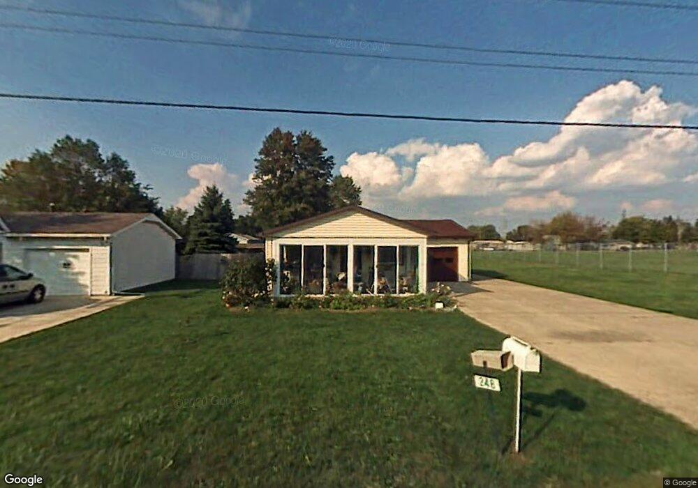
248 W Hissong Ave Fostoria, OH 44830
Estimated Value: $78,000 - $106,410
2
Beds
1
Bath
864
Sq Ft
$115/Sq Ft
Est. Value
About This Home
This home is located at 248 W Hissong Ave, Fostoria, OH 44830 and is currently estimated at $99,103, approximately $114 per square foot. 248 W Hissong Ave is a home located in Seneca County with nearby schools including Fostoria Intermediate Elementary School and Fostoria Junior/Senior High School.
Ownership History
Date
Name
Owned For
Owner Type
Purchase Details
Closed on
Oct 11, 2024
Sold by
Cooper David J and Lunn Danielle J
Bought by
Veezy Investment Properties Llc
Current Estimated Value
Purchase Details
Closed on
Nov 13, 2015
Sold by
Helms Edith J
Bought by
Cooper David J
Home Financials for this Owner
Home Financials are based on the most recent Mortgage that was taken out on this home.
Original Mortgage
$28,000
Interest Rate
3.82%
Mortgage Type
New Conventional
Purchase Details
Closed on
Dec 18, 2000
Sold by
Helms Dale L
Bought by
Helms Edith J
Purchase Details
Closed on
Oct 1, 1986
Create a Home Valuation Report for This Property
The Home Valuation Report is an in-depth analysis detailing your home's value as well as a comparison with similar homes in the area
Home Values in the Area
Average Home Value in this Area
Purchase History
| Date | Buyer | Sale Price | Title Company |
|---|---|---|---|
| Veezy Investment Properties Llc | $40,000 | None Listed On Document | |
| Cooper David J | $35,000 | Wolph Title Inc | |
| Helms Edith J | -- | -- | |
| -- | $25,000 | -- |
Source: Public Records
Mortgage History
| Date | Status | Borrower | Loan Amount |
|---|---|---|---|
| Previous Owner | Cooper David J | $28,000 |
Source: Public Records
Tax History Compared to Growth
Tax History
| Year | Tax Paid | Tax Assessment Tax Assessment Total Assessment is a certain percentage of the fair market value that is determined by local assessors to be the total taxable value of land and additions on the property. | Land | Improvement |
|---|---|---|---|---|
| 2024 | $1,010 | $17,680 | $2,120 | $15,560 |
| 2023 | $1,246 | $17,680 | $2,120 | $15,560 |
| 2022 | $913 | $14,330 | $2,290 | $12,040 |
| 2021 | $832 | $14,330 | $2,290 | $12,040 |
| 2020 | $836 | $14,333 | $2,293 | $12,040 |
| 2019 | $784 | $13,248 | $2,118 | $11,130 |
| 2018 | $799 | $13,248 | $2,118 | $11,130 |
| 2017 | $575 | $13,248 | $2,118 | $11,130 |
| 2016 | $822 | $15,274 | $2,338 | $12,936 |
| 2015 | $349 | $15,274 | $2,338 | $12,936 |
| 2014 | $330 | $15,274 | $2,338 | $12,936 |
| 2013 | $418 | $16,415 | $2,541 | $13,874 |
Source: Public Records
Map
Nearby Homes
- 0 Bradner St
- 514 E Lytle St
- 461 W Lytle St
- 461 W Lytle St Unit 145
- 461 W Lytle St Unit 106
- 8 Christopher Dr
- 0 W South Route 12
- 73 Christopher Dr
- 77 Barcelona Dr
- 412 E Center St
- 351 W South St
- 348 W South St
- 0 Bugner St Unit 6131864
- 321 Mcdougal St
- 11598 W Township Road 114 County Rd
- 203 N Union St
- 509 College Ave
- 540 N Poplar St
- 520 N Union St
- 481 Beverly Dr
- 244 W Hissong Ave
- 0 Hissong Ave
- 211 E Clark St
- 205 E Clark St
- 1457 N Township Road 21
- 216 E Clark St
- 208 E Clark St
- 1437 N Township Road 21
- 220 E Clark St
- 1100 S Poplar St
- 1415 S Poplar St
- 1427 N Township Road 21
- 214 E Clark St
- 212 E Clark St
- 206 E Clark St
- 12459 W Wagner St
- 1415 N Township Road 21
- 275 E Clark St
- 1088 S Poplar St
- 1405 S Poplar St