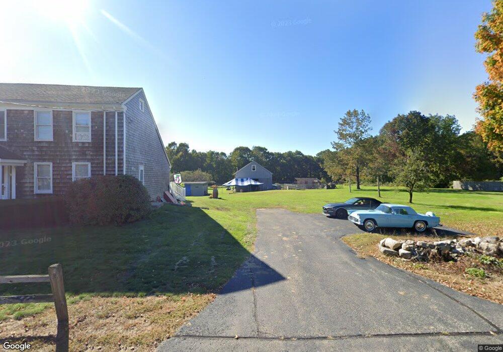
248 Worcester Rd Unit 2 Princeton, MA 01541
Estimated Value: $721,855 - $1,135,000
2
Beds
1
Bath
950
Sq Ft
$906/Sq Ft
Est. Value
About This Home
This home is located at 248 Worcester Rd Unit 2, Princeton, MA 01541 and is currently estimated at $860,464, approximately $905 per square foot. 248 Worcester Rd Unit 2 is a home located in Worcester County with nearby schools including Wachusett Regional High School.
Ownership History
Date
Name
Owned For
Owner Type
Purchase Details
Closed on
Jan 27, 2026
Sold by
Balsamo Salvatore R Est and Kuntz
Bought by
Kuntz Laura
Current Estimated Value
Purchase Details
Closed on
Aug 25, 2021
Sold by
Balsamo Salvatore R
Bought by
Balsamo Salvatore
Home Financials for this Owner
Home Financials are based on the most recent Mortgage that was taken out on this home.
Original Mortgage
$319,500
Interest Rate
3.56%
Mortgage Type
New Conventional
Purchase Details
Closed on
May 15, 2012
Sold by
Mathieu Donald and Mathieu Nancy A
Bought by
Balsamo Kathleen and Balsamo Salvatore R
Home Financials for this Owner
Home Financials are based on the most recent Mortgage that was taken out on this home.
Original Mortgage
$369,297
Interest Rate
4%
Mortgage Type
New Conventional
Create a Home Valuation Report for This Property
The Home Valuation Report is an in-depth analysis detailing your home's value as well as a comparison with similar homes in the area
Home Values in the Area
Average Home Value in this Area
Purchase History
We collect this data history from publicly available records. To have your information removed, we recommend requesting removal directly through your county’s website.
| Date | Buyer | Sale Price | Title Company |
|---|---|---|---|
| Kuntz Laura | -- | -- | |
| Balsamo Salvatore | -- | None Available | |
| Balsamo Salvatore | -- | None Available | |
| Balsamo Kathleen | $357,500 | -- | |
| Balsamo Kathleen | $357,500 | -- |
Source: Public Records
Mortgage History
We collect this data history from publicly available records. To have your information removed, we recommend requesting removal directly through your county’s website.
| Date | Status | Borrower | Loan Amount |
|---|---|---|---|
| Previous Owner | Balsamo Salvatore | $319,500 | |
| Previous Owner | Balsamo Kathleen | $369,297 |
Source: Public Records
Tax History
| Year | Tax Paid | Tax Assessment Tax Assessment Total Assessment is a certain percentage of the fair market value that is determined by local assessors to be the total taxable value of land and additions on the property. | Land | Improvement |
|---|---|---|---|---|
| 2025 | $9,032 | $621,600 | $154,700 | $466,900 |
| 2024 | $8,645 | $616,200 | $152,100 | $464,100 |
| 2023 | $8,160 | $539,000 | $121,400 | $417,600 |
| 2022 | $7,848 | $500,500 | $121,400 | $379,100 |
| 2021 | $7,747 | $480,600 | $121,400 | $359,200 |
| 2020 | $7,491 | $472,600 | $121,400 | $351,200 |
| 2019 | $7,461 | $465,700 | $118,500 | $347,200 |
| 2018 | $7,612 | $440,500 | $99,800 | $340,700 |
| 2017 | $7,386 | $415,400 | $144,100 | $271,300 |
| 2016 | $7,394 | $415,400 | $144,100 | $271,300 |
| 2015 | $7,095 | $410,100 | $146,500 | $263,600 |
Source: Public Records
Map
Nearby Homes
- 103 Brooks Station Rd
- 89 Boulder Hill Rd
- 396 Elmwood Ave
- 17 Boylston Ave
- 8 Elmwood Ave
- 139 E County Rd Unit 139
- 139 E County Rd Unit 141
- Lots 4R/5R Bryant Rd
- 30 Michael Dr
- 340 Ball Hill Rd
- 58 Merriam Rd
- 1138 Wachusett St
- 56 Hubbardston Rd
- 1093 Wachusett St
- 569 E County Rd
- 328 E County Rd
- 188 Princeton St
- 331 E County Rd
- 91 Central Tree Rd
- 152 Mountain Rd
- 248 Worcester Rd
- 240 Worcester Rd
- 252 Worcester Rd
- 243 Worcester Rd
- 75 Hickory Dr
- 236 Worcester Rd
- 239 Worcester Rd
- 15 Birchwood Rd
- 13 Birchwood Rd
- 256 Worcester Rd
- 255 Worcester Rd
- 235 Worcester Rd
- 9 Birchwood Rd
- 232 Worcester Rd
- 71 Hickory Dr
- 14 Birchwood Rd
- 260 Worcester Rd
- 10 Birchwood Rd
- 259 Worcester Rd
- 16 Birchwood Rd
Your Personal Tour Guide
Ask me questions while you tour the home.