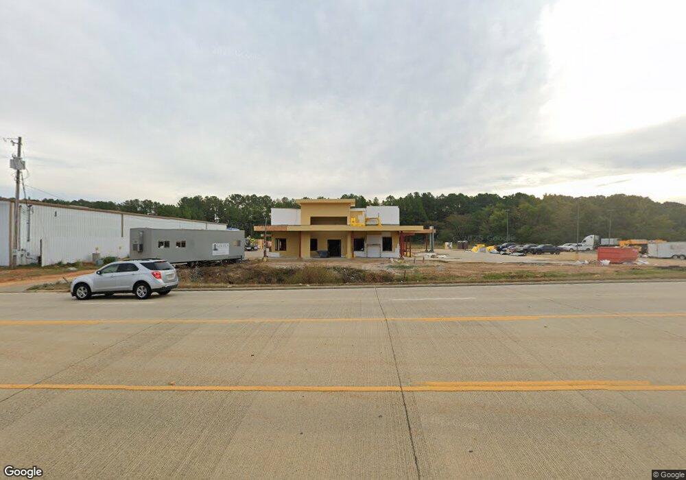
2480 Highway 33 None Ruston, LA 71270
Estimated Value: $1,171,745
Studio
--
Bath
6,660
Sq Ft
$176/Sq Ft
Est. Value
About This Home
This home is located at 2480 Highway 33 None, Ruston, LA 71270 and is currently estimated at $1,171,745, approximately $175 per square foot. 2480 Highway 33 None is a home located in Lincoln Parish with nearby schools including Glen View Elementary School, Cypress Springs Elementary School, and Ruston Junior High School.
Ownership History
Date
Name
Owned For
Owner Type
Purchase Details
Closed on
Oct 13, 2010
Sold by
Bond Scott Owen and Bond Betty Craven
Bought by
Bond Family Land Holdings Llc
Current Estimated Value
Home Financials for this Owner
Home Financials are based on the most recent Mortgage that was taken out on this home.
Original Mortgage
$1,266,820
Outstanding Balance
$824,508
Interest Rate
4.39%
Mortgage Type
Future Advance Clause Open End Mortgage
Estimated Equity
$347,237
Create a Home Valuation Report for This Property
The Home Valuation Report is an in-depth analysis detailing your home's value as well as a comparison with similar homes in the area
Purchase History
| Date | Buyer | Sale Price | Title Company |
|---|---|---|---|
| Bond Family Land Holdings Llc | $241,514 | None Available |
Source: Public Records
Mortgage History
| Date | Status | Borrower | Loan Amount |
|---|---|---|---|
| Open | Bond Family Land Holdings Llc | $1,266,820 |
Source: Public Records
Tax History
| Year | Tax Paid | Tax Assessment Tax Assessment Total Assessment is a certain percentage of the fair market value that is determined by local assessors to be the total taxable value of land and additions on the property. | Land | Improvement |
|---|---|---|---|---|
| 2025 | $26,208 | $327,357 | $36,695 | $290,662 |
| 2024 | $12,683 | $157,948 | $36,695 | $121,253 |
| 2023 | $10,609 | $127,751 | $39,135 | $88,616 |
| 2022 | $10,665 | $127,751 | $39,135 | $88,616 |
| 2021 | $9,818 | $127,751 | $39,135 | $88,616 |
| 2020 | $9,872 | $127,751 | $39,135 | $88,616 |
| 2019 | $9,247 | $122,769 | $39,135 | $83,634 |
| 2018 | $8,976 | $122,769 | $39,135 | $83,634 |
| 2017 | $9,001 | $122,769 | $39,135 | $83,634 |
| 2016 | $8,963 | $0 | $0 | $0 |
| 2015 | $7,158 | $89,786 | $17,308 | $72,478 |
| 2013 | $7,279 | $89,786 | $17,308 | $72,478 |
Source: Public Records
Map
Nearby Homes
- 2420 Highway 33
- 0 Louisiana 33
- 1709 Rampart Dr
- 2900 Post Oak Dr
- 2805 Post Oak Dr
- 294 Moody Rd
- 2605 Foxxwood Dr
- 0 English Turn
- 128 Marlou Cir
- 197 Baxter Rd
- 209 Burgessville Rd
- 1727 Trade Dr
- 905 Tarreyton Dr
- 910 Laura Ln
- 2104 Greenbriar Dr
- 173 Oak Alley Dr
- 503 Dayton Dr
- 3001 Belcara Dr
- 145 Woodshire Ln
- 804 Quitman St
- 2480 Louisiana 33
- 2501 Farmerville Hwy
- 107 Haddox Rd
- 2435 Highway 33
- 2503 Highway 33
- 2420 Louisiana 33
- 2535 Highway 33
- 2420 Highway 33
- 2420 Highway 33 Unit Tract 1
- 2420 Highway 33 Unit Tract A
- 2420 Highway 33 Unit Tract 2
- 2398 Highway 33
- 162 Cockerham Ln
- 2537 Louisiana 33
- 140 Cockerham Ln
- 174 Bluebird Ln
- 2372 Highway 33
- 189 Haddox Rd Unit 622 BURGESSVILLE ROA
- 2358 Highway 33
- 228 Road Camp Rd
Your Personal Tour Guide
Ask me questions while you tour the home.