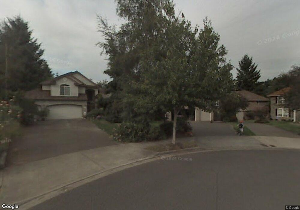
2480 Michael Dr West Linn, OR 97068
Willamette NeighborhoodEstimated Value: $890,246 - $967,000
4
Beds
3
Baths
2,906
Sq Ft
$318/Sq Ft
Est. Value
About This Home
This home is located at 2480 Michael Dr, West Linn, OR 97068 and is currently estimated at $924,062, approximately $317 per square foot. 2480 Michael Dr is a home located in Clackamas County with nearby schools including Willamette Primary School, Athey Creek Middle School, and West Linn High School.
Ownership History
Date
Name
Owned For
Owner Type
Purchase Details
Closed on
Dec 20, 2004
Sold by
Au Nichimen and Au Priscilla
Bought by
Groh Michael T and Groh Mary E
Current Estimated Value
Home Financials for this Owner
Home Financials are based on the most recent Mortgage that was taken out on this home.
Original Mortgage
$333,700
Outstanding Balance
$166,305
Interest Rate
5.76%
Mortgage Type
Purchase Money Mortgage
Estimated Equity
$757,757
Purchase Details
Closed on
Mar 4, 1997
Sold by
Renaissance Custom Homes Inc
Bought by
Au Nichimen and Au Priscilla
Home Financials for this Owner
Home Financials are based on the most recent Mortgage that was taken out on this home.
Original Mortgage
$200,000
Interest Rate
7.25%
Purchase Details
Closed on
Apr 17, 1996
Sold by
Renaissance Development Corp
Bought by
Renaissance Custom Homes Inc
Create a Home Valuation Report for This Property
The Home Valuation Report is an in-depth analysis detailing your home's value as well as a comparison with similar homes in the area
Home Values in the Area
Average Home Value in this Area
Purchase History
| Date | Buyer | Sale Price | Title Company |
|---|---|---|---|
| Groh Michael T | $430,000 | Fidelity Natl Title Co Of Or | |
| Au Nichimen | $297,300 | Oregon Title Insurance Co | |
| Renaissance Custom Homes Inc | $50,000 | Oregon Title Insurance Co |
Source: Public Records
Mortgage History
| Date | Status | Borrower | Loan Amount |
|---|---|---|---|
| Open | Groh Michael T | $333,700 | |
| Previous Owner | Au Nichimen | $200,000 | |
| Closed | Groh Michael T | $53,300 |
Source: Public Records
Tax History Compared to Growth
Tax History
| Year | Tax Paid | Tax Assessment Tax Assessment Total Assessment is a certain percentage of the fair market value that is determined by local assessors to be the total taxable value of land and additions on the property. | Land | Improvement |
|---|---|---|---|---|
| 2025 | $9,978 | $517,773 | -- | -- |
| 2024 | $9,605 | $502,693 | -- | -- |
| 2023 | $9,605 | $488,052 | $0 | $0 |
| 2022 | $9,066 | $473,837 | $0 | $0 |
| 2021 | $8,606 | $460,036 | $0 | $0 |
| 2020 | $8,664 | $446,637 | $0 | $0 |
| 2019 | $8,262 | $433,629 | $0 | $0 |
| 2018 | $7,893 | $420,999 | $0 | $0 |
| 2017 | $7,587 | $408,737 | $0 | $0 |
| 2016 | $7,391 | $396,832 | $0 | $0 |
| 2015 | $6,933 | $385,274 | $0 | $0 |
| 2014 | $6,614 | $374,052 | $0 | $0 |
Source: Public Records
Map
Nearby Homes
- 1101 Ryan Ct
- 1160 Blankenship Rd
- 812 Wendy Ct
- 2420 Margery St
- 2250 River Heights Cir
- 640 Springtree Ln
- 753 Nicole Dr
- 1618 Village Park Place
- 850 Springtree Ln Unit 850
- 1640 Village Park Place
- 2240 Snowberry Ridge Ct Unit 2240
- 1075 Epperly Way
- 3395 Summerlinn Dr Unit 24
- 3565 Summerlinn Dr Unit 64
- 3135 Summerlinn Dr Unit 40
- 1043 Meek Way
- 2026 Virginia Ln
- 3850 Summerlinn Dr Unit 58
- 1925 Hillhouse Dr
- 1791 Blankenship Rd