2480 Waring Rd NW Dalton, GA 30721
Estimated Value: $277,367 - $310,000
--
Bed
2
Baths
2,546
Sq Ft
$116/Sq Ft
Est. Value
About This Home
This home is located at 2480 Waring Rd NW, Dalton, GA 30721 and is currently estimated at $294,592, approximately $115 per square foot. 2480 Waring Rd NW is a home located in Whitfield County with nearby schools including New Hope Elementary School, New Hope Middle School, and Northwest Whitfield County High School.
Ownership History
Date
Name
Owned For
Owner Type
Purchase Details
Closed on
Sep 19, 2018
Sold by
Patterson Vicky Lynn
Bought by
Brown James D and Brown Ashley Nicole
Current Estimated Value
Home Financials for this Owner
Home Financials are based on the most recent Mortgage that was taken out on this home.
Original Mortgage
$99,085
Outstanding Balance
$86,230
Interest Rate
4.5%
Estimated Equity
$208,362
Purchase Details
Closed on
Jul 1, 1999
Bought by
Patterson Vicky Lynn
Create a Home Valuation Report for This Property
The Home Valuation Report is an in-depth analysis detailing your home's value as well as a comparison with similar homes in the area
Home Values in the Area
Average Home Value in this Area
Purchase History
| Date | Buyer | Sale Price | Title Company |
|---|---|---|---|
| Brown James D | $97,000 | -- | |
| Patterson Vicky Lynn | $76,000 | -- |
Source: Public Records
Mortgage History
| Date | Status | Borrower | Loan Amount |
|---|---|---|---|
| Open | Brown James D | $99,085 |
Source: Public Records
Tax History Compared to Growth
Tax History
| Year | Tax Paid | Tax Assessment Tax Assessment Total Assessment is a certain percentage of the fair market value that is determined by local assessors to be the total taxable value of land and additions on the property. | Land | Improvement |
|---|---|---|---|---|
| 2024 | $1,596 | $101,105 | $5,450 | $95,655 |
| 2023 | $1,596 | $60,225 | $3,488 | $56,737 |
| 2022 | $1,028 | $43,407 | $3,423 | $39,984 |
| 2021 | $1,028 | $43,407 | $3,423 | $39,984 |
| 2020 | $1,052 | $43,407 | $3,423 | $39,984 |
| 2019 | $921 | $43,407 | $3,423 | $39,984 |
| 2018 | $1,053 | $42,704 | $2,720 | $39,984 |
| 2017 | $1,053 | $42,704 | $2,720 | $39,984 |
| 2016 | $963 | $40,638 | $4,200 | $36,438 |
| 2014 | $895 | $40,638 | $4,200 | $36,438 |
| 2013 | -- | $40,638 | $4,200 | $36,438 |
Source: Public Records
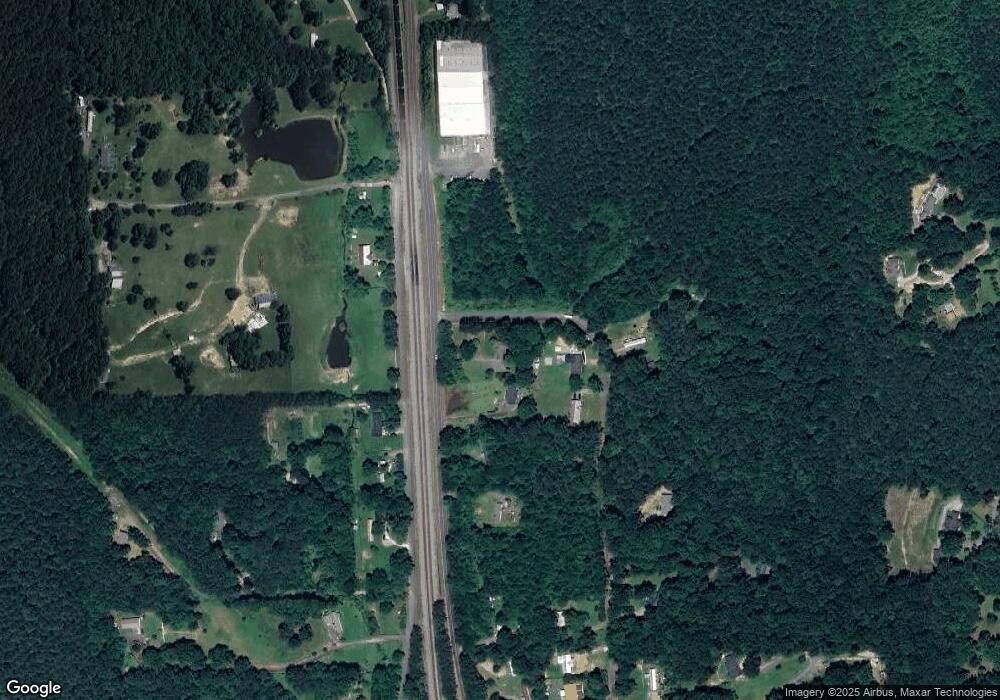
Map
Nearby Homes
- 466 Scarlet Dr
- 1626 Lagenia Ct
- 609 Cherokee Trail NW
- 1015 S Ridge Dr
- 1016 Prince Way
- 1425 Wiggs Dr
- 2256 Waring Rd NW
- 0 Silhouette Way
- 2215 Kerr Rd NW
- 00 Waring Rd NW
- 303 Cherokee Trail NW
- 287 Williams Rd NW
- 1247 Reed Rd
- The Harrington Plan at Varnell Preserve
- The Bradley Plan at Varnell Preserve
- The Braselton II Plan at Varnell Preserve
- The Lawson Plan at Varnell Preserve
- The Caldwell Plan at Varnell Preserve
- The McGinnis Plan at Varnell Preserve
- The Benson II Plan at Varnell Preserve
- 2476 Waring Rd NW
- 0 Dover St Unit 1252120
- 0 Dover St Unit 1244151
- 0 Dover St Unit 1242618
- 0 Dover St
- 432 Scarlet Dr
- 426 Scarlet Dr
- 2468 Waring Rd NW
- 441 Scarlet Dr
- 449 Scarlet Dr
- 2391 Dover St NW
- 491 Scarlet Dr
- 00 Scarlet Dr
- 0 Scarlet Dr
- 2616 Waring Rd NW
- 2401 Dover St NW
- 2401 Dover St NW
- 2620 Waring Rd NW
- 285 Hiawassee Way
- 2498 Dover St NW