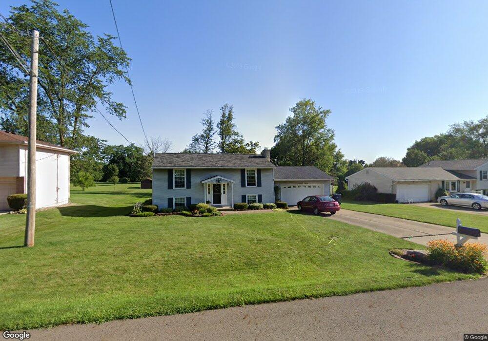
2481 Bryonaire Rd Mansfield, OH 44903
Estimated Value: $178,000 - $255,000
4
Beds
2
Baths
1,728
Sq Ft
$131/Sq Ft
Est. Value
About This Home
This home is located at 2481 Bryonaire Rd, Mansfield, OH 44903 and is currently estimated at $225,825, approximately $130 per square foot. 2481 Bryonaire Rd is a home located in Richland County with nearby schools including Madison High School, St. Mary Catholic School, and Temple-Christian School.
Ownership History
Date
Name
Owned For
Owner Type
Purchase Details
Closed on
Apr 13, 2015
Sold by
Steward Patricia L and Henry Patricia L
Bought by
Henry Stephen T
Current Estimated Value
Home Financials for this Owner
Home Financials are based on the most recent Mortgage that was taken out on this home.
Original Mortgage
$75,000
Outstanding Balance
$57,228
Interest Rate
3.5%
Mortgage Type
Adjustable Rate Mortgage/ARM
Estimated Equity
$168,597
Purchase Details
Closed on
Nov 19, 1992
Sold by
Henry Kenneth W
Bought by
Henry Patricia L
Create a Home Valuation Report for This Property
The Home Valuation Report is an in-depth analysis detailing your home's value as well as a comparison with similar homes in the area
Home Values in the Area
Average Home Value in this Area
Purchase History
| Date | Buyer | Sale Price | Title Company |
|---|---|---|---|
| Henry Stephen T | $75,000 | Chicago Title | |
| Henry Patricia L | -- | -- |
Source: Public Records
Mortgage History
| Date | Status | Borrower | Loan Amount |
|---|---|---|---|
| Open | Henry Stephen T | $75,000 |
Source: Public Records
Tax History Compared to Growth
Tax History
| Year | Tax Paid | Tax Assessment Tax Assessment Total Assessment is a certain percentage of the fair market value that is determined by local assessors to be the total taxable value of land and additions on the property. | Land | Improvement |
|---|---|---|---|---|
| 2024 | $2,698 | $52,820 | $4,680 | $48,140 |
| 2023 | $2,698 | $52,820 | $4,680 | $48,140 |
| 2022 | $2,029 | $36,470 | $3,750 | $32,720 |
| 2021 | $2,029 | $36,470 | $3,750 | $32,720 |
| 2020 | $2,044 | $36,470 | $3,750 | $32,720 |
| 2019 | $1,858 | $30,900 | $3,170 | $27,730 |
| 2018 | $1,842 | $30,900 | $3,170 | $27,730 |
| 2017 | $1,820 | $30,900 | $3,170 | $27,730 |
| 2016 | $1,832 | $30,580 | $3,020 | $27,560 |
| 2015 | $1,832 | $30,580 | $3,020 | $27,560 |
| 2014 | $1,291 | $30,580 | $3,020 | $27,560 |
| 2012 | $635 | $32,180 | $3,170 | $29,010 |
Source: Public Records
Map
Nearby Homes
- 0 Satinwood Dr
- 630 Impala Dr
- 598 Impala Dr
- 2495 Emma Ln
- 2641 State Route 430
- 2270 Lakecrest Dr Unit 2272
- 2750 Lutz Ave
- 640 Running Brook Way
- 0 McBride Road Parcel # 1 Unit 9066028
- 609 Mcbride Rd
- 641 Laver Rd
- 0 Peterson Rd
- 1910 Crider Rd
- 1997 Hout Rd
- 76 Ford Rd N
- 76 Ford Rd N Unit 20
- 1951 Woodmont Rd
- 1806 Richard Dr
- 2331 Fleming Falls Rd
- 0 Mcelroy Rd
- 2473 Bryonaire Rd
- 2491 Bryonaire Rd
- 2465 Bryonaire Rd
- 2501 Bryonaire Rd
- 2480 Bryonaire Rd
- 2472 Bryonaire Rd
- 2507 Bryonaire Rd
- 2455 Bryonaire Dr
- 2464 Bryonaire Rd
- 2455 Bryonaire Rd
- 2482 Wedgewood Dr
- 2492 Bryonaire Rd
- 2447 Bryonaire Rd
- 2478 Wedgewood Dr
- 2456 Bryonaire Rd
- 2511 Bryonaire Rd
- 2506 Bryonaire Rd
- 2513 Bryonaire Rd
- 2446 Bryonaire Rd
- 2513 Bryonaire Dr