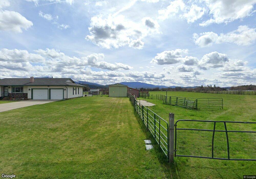
24820 E Joseph Ave Otis Orchards, WA 99027
Otis Orchards-East Farms NeighborhoodEstimated Value: $570,597 - $610,000
2
Beds
2
Baths
1,261
Sq Ft
$464/Sq Ft
Est. Value
About This Home
This home is located at 24820 E Joseph Ave, Otis Orchards, WA 99027 and is currently estimated at $585,649, approximately $464 per square foot. 24820 E Joseph Ave is a home located in Spokane County with nearby schools including East Farms School, East Valley Middle School, and East Valley High School & Extension.
Ownership History
Date
Name
Owned For
Owner Type
Purchase Details
Closed on
May 26, 2006
Sold by
Moolick Michael T and Moolick Margaret A
Bought by
Yount Tammy Ann
Current Estimated Value
Purchase Details
Closed on
Aug 6, 2003
Sold by
Wach Roger and Sillstrop Jeanne L
Bought by
Moolick Michael T and Moolick Margaret A
Create a Home Valuation Report for This Property
The Home Valuation Report is an in-depth analysis detailing your home's value as well as a comparison with similar homes in the area
Home Values in the Area
Average Home Value in this Area
Purchase History
| Date | Buyer | Sale Price | Title Company |
|---|---|---|---|
| Yount Tammy Ann | -- | None Available | |
| Moolick Michael T | -- | Pacific Nw Title |
Source: Public Records
Tax History
| Year | Tax Paid | Tax Assessment Tax Assessment Total Assessment is a certain percentage of the fair market value that is determined by local assessors to be the total taxable value of land and additions on the property. | Land | Improvement |
|---|---|---|---|---|
| 2025 | $4,719 | $467,200 | $197,800 | $269,400 |
| 2024 | $4,719 | $474,600 | $192,800 | $281,800 |
| 2023 | $4,748 | $480,500 | $192,800 | $287,700 |
| 2022 | $4,627 | $480,500 | $192,800 | $287,700 |
| 2021 | $4,195 | $326,980 | $121,680 | $205,300 |
| 2020 | $3,961 | $291,700 | $108,900 | $182,800 |
| 2019 | $3,543 | $264,710 | $100,010 | $164,700 |
| 2018 | $3,357 | $232,580 | $79,180 | $153,400 |
| 2017 | $3,289 | $229,340 | $89,040 | $140,300 |
| 2016 | $3,100 | $218,640 | $84,040 | $134,600 |
| 2015 | $3,132 | $213,340 | $84,040 | $129,300 |
| 2014 | -- | $209,240 | $84,040 | $125,200 |
| 2013 | -- | $0 | $0 | $0 |
Source: Public Records
Map
Nearby Homes
- 99999 E Dalke Ave
- 5719 N Haye St
- 5617 N Haye St
- 24225 E Rosewood Ave
- 24604 E Wellesley Ave
- 5325 N Vincent Rd
- 6205 N Ormond Rd
- 7009 N Robin Rd
- 25021 E San Carlos Ave
- 5407 N Chase Rd
- 24807 E Trent Ave Unit 13
- 5605 N Drury Rd
- 26610 E Queen Ave
- 23007 E Sanson Ln
- 26914 E Sanson Ave
- 7009 N Lynden Rd
- 6701 N Idaho Rd
- 6930 N Lynden Rd
- 8960 W Ante Rd
- 3315 N Malvern Rd
- 24906 E Joseph Ave
- 24807 E Joseph Ave
- 24907 E Joseph Ave
- 24725 E Joseph Ave
- 24716 E Joseph Ave
- 25005 E Joseph Ave
- 5611 N Starr Rd
- 25019 E Joseph Ave
- 24621 E Joseph Ave
- 5617 N Starr Rd
- 24506 E Joseph Ave
- 5711 N Starr Rd
- 5905 N Starr Rd
- 5605 N Starr Rd
- 0 N Starr Rd
- TBD N Starr-Glenarven Rd
- 5614 N Starr Rd
- 5909 N Starr Rd
- 24818 E Dalke Ave
- 24810 E Dalke Ave