24821 Annie Pearl Cir Chugiak, AK 99567
Chugiak NeighborhoodEstimated Value: $180,000 - $501,754
1
Bed
1
Bath
1,266
Sq Ft
$262/Sq Ft
Est. Value
About This Home
This home is located at 24821 Annie Pearl Cir, Chugiak, AK 99567 and is currently estimated at $331,939, approximately $262 per square foot. 24821 Annie Pearl Cir is a home with nearby schools including Chugiak Elementary School, Mirror Lake Middle School, and Chugiak High School.
Ownership History
Date
Name
Owned For
Owner Type
Purchase Details
Closed on
Oct 28, 2019
Sold by
Angel Eddie and Stone Kathryn
Bought by
Poole Adam J
Current Estimated Value
Home Financials for this Owner
Home Financials are based on the most recent Mortgage that was taken out on this home.
Original Mortgage
$230,000
Outstanding Balance
$202,742
Interest Rate
3.7%
Mortgage Type
Commercial
Estimated Equity
$129,197
Purchase Details
Closed on
Jul 31, 2013
Sold by
Daniels Linda B
Bought by
Angel Eddie and Stone Kathryn
Home Financials for this Owner
Home Financials are based on the most recent Mortgage that was taken out on this home.
Original Mortgage
$210,000
Interest Rate
3.92%
Mortgage Type
Seller Take Back
Purchase Details
Closed on
Jan 7, 2013
Sold by
Daniels Rick C and Daniels Linda B
Bought by
Daniels Linda B
Create a Home Valuation Report for This Property
The Home Valuation Report is an in-depth analysis detailing your home's value as well as a comparison with similar homes in the area
Home Values in the Area
Average Home Value in this Area
Purchase History
| Date | Buyer | Sale Price | Title Company |
|---|---|---|---|
| Poole Adam J | -- | None Available | |
| Angel Eddie | -- | Stewart Title Company | |
| Daniels Linda B | -- | Accommodation |
Source: Public Records
Mortgage History
| Date | Status | Borrower | Loan Amount |
|---|---|---|---|
| Open | Poole Adam J | $230,000 | |
| Previous Owner | Angel Eddie | $210,000 |
Source: Public Records
Tax History
| Year | Tax Paid | Tax Assessment Tax Assessment Total Assessment is a certain percentage of the fair market value that is determined by local assessors to be the total taxable value of land and additions on the property. | Land | Improvement |
|---|---|---|---|---|
| 2025 | $7,623 | $540,500 | $106,700 | $433,800 |
| 2024 | $7,623 | $511,300 | $96,300 | $415,000 |
| 2023 | $7,347 | $457,300 | $96,300 | $361,000 |
| 2022 | $6,335 | $416,800 | $99,000 | $317,800 |
| 2021 | $6,220 | $384,900 | $99,000 | $285,900 |
| 2020 | $5,691 | $379,400 | $99,000 | $280,400 |
| 2019 | $4,874 | $374,900 | $99,000 | $275,900 |
| 2018 | $3,558 | $290,700 | $91,800 | $198,900 |
| 2017 | $3,932 | $288,600 | $91,800 | $196,800 |
| 2016 | $4,169 | $279,600 | $91,800 | $187,800 |
| 2015 | $4,169 | $273,800 | $87,800 | $186,000 |
| 2014 | $4,169 | $271,600 | $85,800 | $185,800 |
Source: Public Records
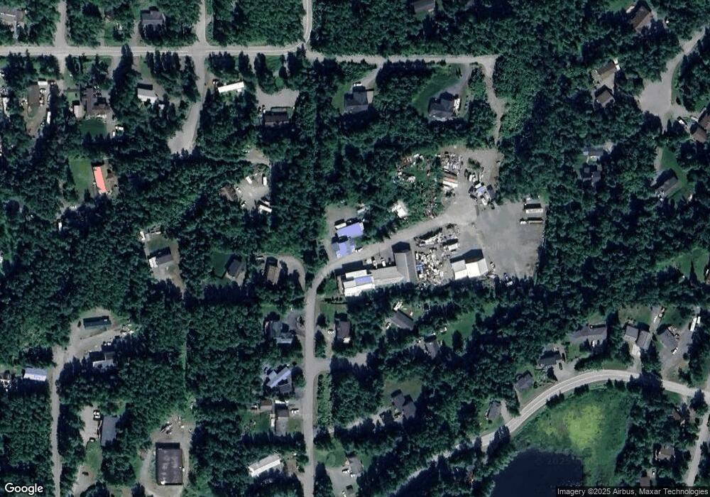
Map
Nearby Homes
- 21220 Monron St
- 24641 Chugiak Dr
- 21229 Gorsuch St
- 24531 Homestead Rd
- 21635 Settlers Dr
- 21312 Settlers Dr
- 24574 Park Dr
- 22451 Mirror Lake Dr
- 24540 Grace St
- 24508 Reese Rd
- L8 Solleret Dr
- 20211 Upper Greatland Dr
- 22676 Sampson Dr
- L6 Thornton St
- 23234 Northwoods Dr
- 23012 Homestead Rd
- 22417 Whispering Birch Dr
- 22960 Sheltering Spruce Ave
- 20880 Oberg Rd
- 22970 Needels Loop
- 24815 Annie Pearl Cir
- 21401 Monron St
- 000 Annie Pearl Cir
- 21465 Monron St
- L10 Monron St
- 21439 Monron St
- 24877 Annie Pearl Cir
- 21416 Monron St
- 21439 Monron St
- NHN Annie Pearl Cir
- 21400 Monron St
- 21344 Monron St
- 24838 Fassler Cir
- 24835 Fassler Cir
- Lot 8
- 24813 Fassler Cir
- LOT 8 Annie Pearl
- 24847 Fassler Cir
- 21501 Morning Cir
- 21323 Monron St
Your Personal Tour Guide
Ask me questions while you tour the home.