Estimated Value: $256,000 - $322,000
4
Beds
2
Baths
1,526
Sq Ft
$194/Sq Ft
Est. Value
About This Home
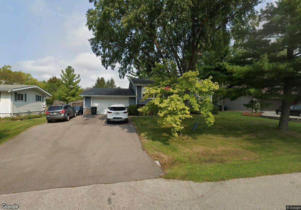
This home is located at 24822 81st St, Salem, WI 53168 and is currently estimated at $296,493, approximately $194 per square foot. 24822 81st St is a home located in Kenosha County with nearby schools including Salem Elementary School and Central High School.
Ownership History
Date
Name
Owned For
Owner Type
Purchase Details
Closed on
Nov 24, 2004
Sold by
Fugelseth Jeffrey R and Fugelseth Christine J
Bought by
Vanaxen William F and Lameer Pease Denise
Current Estimated Value
Home Financials for this Owner
Home Financials are based on the most recent Mortgage that was taken out on this home.
Original Mortgage
$23,000
Outstanding Balance
$11,587
Interest Rate
5.82%
Mortgage Type
Credit Line Revolving
Estimated Equity
$284,906
Create a Home Valuation Report for This Property
The Home Valuation Report is an in-depth analysis detailing your home's value as well as a comparison with similar homes in the area
Home Values in the Area
Average Home Value in this Area
Purchase History
| Date | Buyer | Sale Price | Title Company |
|---|---|---|---|
| Vanaxen William F | $165,000 | None Available |
Source: Public Records
Mortgage History
| Date | Status | Borrower | Loan Amount |
|---|---|---|---|
| Open | Vanaxen William F | $23,000 |
Source: Public Records
Tax History Compared to Growth
Tax History
| Year | Tax Paid | Tax Assessment Tax Assessment Total Assessment is a certain percentage of the fair market value that is determined by local assessors to be the total taxable value of land and additions on the property. | Land | Improvement |
|---|---|---|---|---|
| 2024 | $3,503 | $236,900 | $46,300 | $190,600 |
| 2023 | $3,335 | $236,900 | $46,300 | $190,600 |
| 2022 | $3,326 | $195,800 | $42,200 | $153,600 |
| 2021 | $3,265 | $189,800 | $42,200 | $147,600 |
| 2020 | $3,182 | $168,400 | $40,000 | $128,400 |
| 2019 | $3,161 | $163,200 | $40,000 | $123,200 |
| 2018 | $2,813 | $141,800 | $38,500 | $103,300 |
| 2017 | $3,055 | $141,800 | $38,500 | $103,300 |
| 2016 | $2,926 | $130,500 | $36,300 | $94,200 |
| 2015 | $2,619 | $130,500 | $36,300 | $94,200 |
| 2014 | -- | $124,300 | $35,200 | $89,100 |
Source: Public Records
Map
Nearby Homes
- 8247 Antioch Rd
- 8310 Antioch Rd
- Lt2 84th St
- 25011 87th St Unit 3
- 25151 87th St Unit 113
- 25813 78th St
- 7738 242nd Ave
- The Maxwell Plan at Whitetail Ridge
- The Springwood Plan at Whitetail Ridge
- The Carrington Plan at Whitetail Ridge
- The Wellington Plan at Whitetail Ridge
- The Ava Plan at Whitetail Ridge
- The Brookhaven Plan at Whitetail Ridge
- The Kingston Plan at Whitetail Ridge
- The Sullivan Plan at Whitetail Ridge
- The Aspen Plan at Whitetail Ridge
- The Kendal Plan at Whitetail Ridge
- The Bryson Plan at Whitetail Ridge
- The Delilah Plan at Whitetail Ridge
- 7850 259th Ave