24823 Rays Point Rd Saint Michaels, MD 21663
Estimated Value: $886,000 - $1,297,000
--
Bed
2
Baths
1,570
Sq Ft
$692/Sq Ft
Est. Value
About This Home
This home is located at 24823 Rays Point Rd, Saint Michaels, MD 21663 and is currently estimated at $1,087,130, approximately $692 per square foot. 24823 Rays Point Rd is a home located in Talbot County with nearby schools including St. Michaels Elementary School, St. Michaels Middle/High School, and Easton High School.
Ownership History
Date
Name
Owned For
Owner Type
Purchase Details
Closed on
Jun 9, 2023
Sold by
Schaar William C
Bought by
Schaare William C
Current Estimated Value
Purchase Details
Closed on
Feb 20, 2001
Sold by
Schaare Elizabeth S
Bought by
Schaare William C
Purchase Details
Closed on
Mar 13, 1990
Sold by
Schaare Stephen M
Bought by
Schaare Stephen M
Create a Home Valuation Report for This Property
The Home Valuation Report is an in-depth analysis detailing your home's value as well as a comparison with similar homes in the area
Home Values in the Area
Average Home Value in this Area
Purchase History
| Date | Buyer | Sale Price | Title Company |
|---|---|---|---|
| Schaare William C | -- | None Listed On Document | |
| Schaare William C | -- | None Listed On Document | |
| Schaare William C | -- | None Listed On Document | |
| Schaare William C | -- | -- | |
| Schaare Stephen M | $120,000 | -- |
Source: Public Records
Tax History Compared to Growth
Tax History
| Year | Tax Paid | Tax Assessment Tax Assessment Total Assessment is a certain percentage of the fair market value that is determined by local assessors to be the total taxable value of land and additions on the property. | Land | Improvement |
|---|---|---|---|---|
| 2025 | $7,207 | $814,500 | $684,200 | $130,300 |
| 2024 | $7,207 | $798,467 | $0 | $0 |
| 2023 | $6,090 | $781,033 | $0 | $0 |
| 2022 | $5,646 | $765,000 | $667,800 | $97,200 |
| 2021 | $5,288 | $743,500 | $0 | $0 |
| 2020 | $5,288 | $722,000 | $0 | $0 |
| 2019 | $5,264 | $700,500 | $607,800 | $92,700 |
| 2018 | $5,090 | $700,500 | $607,800 | $92,700 |
| 2017 | $4,843 | $700,500 | $0 | $0 |
| 2016 | $4,972 | $764,300 | $0 | $0 |
| 2015 | $5,171 | $764,300 | $0 | $0 |
| 2014 | $5,171 | $764,300 | $0 | $0 |
Source: Public Records
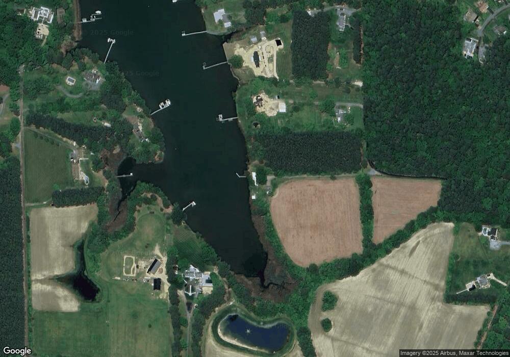
Map
Nearby Homes
- 24912 Back Creek Dr
- 0 Pea Neck Rd Map 32 Parcel 76 Lot 2
- 24390 Oakwood Park Rd
- 108 Miles
- 7369 Drum Point Rd
- 24318 Oakwood Park Rd
- 105 Seymour Ave
- 228 Tyler Ave
- Lot 16A Meadow St
- 704 Meadow St
- 807 Radcliff Ave
- 912 Calvert Ave
- 107 E Chestnut St
- 0 Grace St Unit MDTA2012346
- 106 Grace St
- 222 E Chestnut St
- 100 Grace St
- 23961 Lynnewood Dr
- 25500 Chance Farm Rd
- 23857 Ebb Point Rd
- 24815 Rays Point Rd
- 24819 Rays Point Rd
- 24718 Beverly Rd
- 24811 Rays Point Rd
- 7851 Follys Cove Rd
- 24807 Rays Point Rd
- 24779 Rays Point Rd
- 7839 Follys Cove Rd
- 24803 Rays Point Rd
- 7867 Follys Cove Rd
- 24775 Rays Point Rd
- 7790 Pea Neck Rd
- 24778 Rays Point Rd
- 24885 Back Creek Dr
- 7760 Pea Neck Rd
- 24891 Back Creek Dr
- 24892 Back Creek Dr
- 7879 Follys Cove Rd
- 24743 Rays Point Rd
- 24896 Back Creek Dr