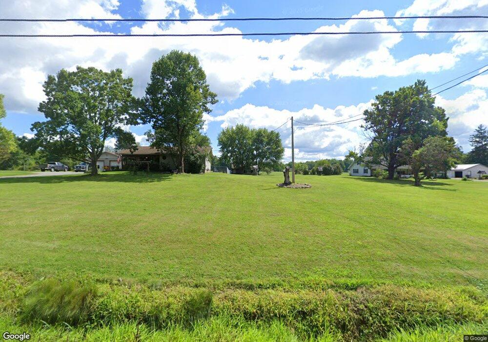
2483 Bell Wick Rd Hubbard, OH 44425
Estimated Value: $219,000 - $397,066
3
Beds
2
Baths
1,856
Sq Ft
$152/Sq Ft
Est. Value
About This Home
This home is located at 2483 Bell Wick Rd, Hubbard, OH 44425 and is currently estimated at $282,517, approximately $152 per square foot. 2483 Bell Wick Rd is a home located in Trumbull County with nearby schools including Rahe Bulverde Elementary School, Hubbard Elementary School, and Smithson Valley Middle School.
Ownership History
Date
Name
Owned For
Owner Type
Purchase Details
Closed on
May 3, 2012
Sold by
Estate Of Jeanne A Bruce
Bought by
Long Jamie M and Bruce John Richard
Current Estimated Value
Purchase Details
Closed on
Apr 23, 2012
Sold by
Long Jamie M and Bruce John Richard
Bought by
Long Jamie Marie and Long Rarymond Arlo
Purchase Details
Closed on
Jan 1, 1990
Bought by
Raymond Arlo Long
Create a Home Valuation Report for This Property
The Home Valuation Report is an in-depth analysis detailing your home's value as well as a comparison with similar homes in the area
Home Values in the Area
Average Home Value in this Area
Purchase History
| Date | Buyer | Sale Price | Title Company |
|---|---|---|---|
| Long Jamie M | -- | None Available | |
| Long Jamie Marie | -- | None Available | |
| Raymond Arlo Long | -- | -- |
Source: Public Records
Tax History Compared to Growth
Tax History
| Year | Tax Paid | Tax Assessment Tax Assessment Total Assessment is a certain percentage of the fair market value that is determined by local assessors to be the total taxable value of land and additions on the property. | Land | Improvement |
|---|---|---|---|---|
| 2024 | $4,530 | $99,120 | $17,010 | $82,110 |
| 2023 | $4,530 | $99,120 | $17,010 | $82,110 |
| 2022 | $3,567 | $73,220 | $15,540 | $57,680 |
| 2021 | $3,582 | $73,220 | $15,540 | $57,680 |
| 2020 | $3,596 | $73,220 | $15,540 | $57,680 |
| 2019 | $3,798 | $64,550 | $14,390 | $50,160 |
| 2018 | $3,686 | $64,550 | $14,390 | $50,160 |
| 2017 | $3,676 | $64,550 | $14,390 | $50,160 |
| 2016 | $3,305 | $61,360 | $14,390 | $46,970 |
| 2015 | $3,317 | $61,360 | $14,390 | $46,970 |
| 2014 | $3,253 | $61,360 | $14,390 | $46,970 |
| 2013 | $3,241 | $61,260 | $14,390 | $46,870 |
Source: Public Records
Map
Nearby Homes
- 5950 Mount Everett Rd
- 2675 Seifert-Lewis Rd
- 5910 Chestnut Ridge Rd
- 132 Drummond Ave
- 1975 Warner Rd
- 256 Warner Rd
- 5683 Chestnut Ridge Rd
- 248 Myron St
- 3317 Beechwood Dr
- 126 Stewart St
- 60 Warner Rd
- 110 School St
- 229 Jacobs Rd
- 138 Moore St
- 764 Jones St
- 0 Appaloosa Trail
- 269 Westview Ave
- 279 Parish Ave
- 50 Walnut St
- 395 Elizabeth St
- 2475 Bell Wick Rd
- 2507 Bell Wick Rd
- 2517 Bell Wick Rd
- 2465 Bell Wick Rd
- 6117 Mount Everett Rd
- 6106 Mount Everett Rd
- 6165 Mount Everett Rd
- 6175 Mount Everett Rd
- 2532 Bell Wick Rd
- 2544 Bell Wick Rd
- 2428 Bell Wick Rd
- 6197 Mount Everett Rd
- 2549 Bell Wick Rd
- 6174 Mount Everett Rd
- 2552 Bell Wick Rd
- 6068 Mount Everett Rd
- 2395 Wick Campbell Rd
- 6210 Mount Everett Rd
- 6052 Mount Everett Rd
- 2379 Wick Campbell Rd