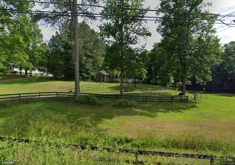
2483 Epperson Rd Canton, GA 30115
Union Hill NeighborhoodEstimated Value: $308,000 - $458,000
3
Beds
2
Baths
1,453
Sq Ft
$269/Sq Ft
Est. Value
About This Home
This home is located at 2483 Epperson Rd, Canton, GA 30115 and is currently estimated at $390,974, approximately $269 per square foot. 2483 Epperson Rd is a home located in Cherokee County with nearby schools including Avery Elementary School, Creekland Middle School, and Creekview High School.
Ownership History
Date
Name
Owned For
Owner Type
Purchase Details
Closed on
Mar 26, 2004
Sold by
Bedroni Christine T
Bought by
Farr Jeffrey L and Farr Frances
Current Estimated Value
Home Financials for this Owner
Home Financials are based on the most recent Mortgage that was taken out on this home.
Original Mortgage
$164,000
Outstanding Balance
$75,417
Interest Rate
5.55%
Mortgage Type
New Conventional
Estimated Equity
$315,557
Purchase Details
Closed on
Apr 22, 2002
Sold by
Bedroni Rodrigo S
Bought by
Bedroni Christine T
Create a Home Valuation Report for This Property
The Home Valuation Report is an in-depth analysis detailing your home's value as well as a comparison with similar homes in the area
Home Values in the Area
Average Home Value in this Area
Purchase History
| Date | Buyer | Sale Price | Title Company |
|---|---|---|---|
| Farr Jeffrey L | $205,000 | -- | |
| Bedroni Christine T | -- | -- |
Source: Public Records
Mortgage History
| Date | Status | Borrower | Loan Amount |
|---|---|---|---|
| Open | Farr Jeffrey L | $164,000 |
Source: Public Records
Tax History
| Year | Tax Paid | Tax Assessment Tax Assessment Total Assessment is a certain percentage of the fair market value that is determined by local assessors to be the total taxable value of land and additions on the property. | Land | Improvement |
|---|---|---|---|---|
| 2025 | $694 | $138,360 | $65,120 | $73,240 |
| 2024 | $668 | $121,480 | $52,560 | $68,920 |
| 2023 | $482 | $106,280 | $42,400 | $63,880 |
| 2022 | $602 | $91,720 | $40,680 | $51,040 |
| 2021 | $591 | $75,800 | $33,920 | $41,880 |
| 2020 | $575 | $70,880 | $33,920 | $36,960 |
| 2019 | $552 | $64,640 | $33,920 | $30,720 |
| 2018 | $552 | $63,320 | $33,920 | $29,400 |
| 2017 | $1,852 | $160,700 | $34,240 | $30,040 |
| 2016 | $1,668 | $143,200 | $29,040 | $28,240 |
| 2015 | $1,670 | $142,000 | $28,000 | $28,800 |
| 2014 | $1,509 | $128,100 | $22,840 | $28,400 |
Source: Public Records
Map
Nearby Homes
- 258 Arliss Dr
- 320 Evie Ln
- 322 Evie Ln
- 2001 Epperson Rd
- 2099 Scott Rd
- 2147 Scott Rd
- 0 Jesse Martin Trail Unit 10605650
- 0 Jesse Martin Trail Unit 7648690
- 174 Wheeler Martin Dr
- 170 Wheeler Martin Dr
- 3320 Cumming Hwy
- 3081 Cumming Hwy
- 229 Forest Creek Ln
- 1205 Sterlington Dr
- 1217 Sterlington Dr
- 1209 Sterlington Dr
- 1216 Sterlington Dr
- 3799 Cumming Hwy
- 3757 Cumming Hwy
- 115 Mountain Falls Way
- 2409 Epperson Rd
- 2389 Epperson Rd
- 206 Pebblebrooke Walk
- 2405 Epperson Rd
- 2357 Epperson Rd
- 2376 Epperson Rd
- 207 Pebblebrooke Walk
- 204 Pebblebrooke Walk
- 2329 Epperson Rd
- 2631 Epperson Rd
- 2300 Epperson Rd
- 205 Pebblebrooke Walk
- 202 Pebblebrooke Walk
- 2299 Epperson Rd
- 404 Arliss Drive #2 Dr
- 115 Pebblebrooke Run
- 440 Arliss Dr
- 2600 Epperson Rd
- 2663 Epperson Rd
- 2281 Epperson Rd
Your Personal Tour Guide
Ask me questions while you tour the home.