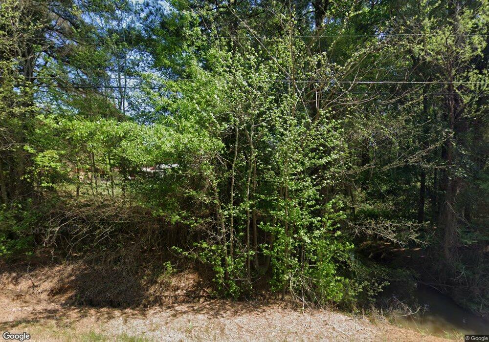
2483 N Rondo Rd Texarkana, AR 71854
Estimated Value: $212,000 - $324,000
3
Beds
2
Baths
1,666
Sq Ft
$162/Sq Ft
Est. Value
About This Home
This home is located at 2483 N Rondo Rd, Texarkana, AR 71854 and is currently estimated at $269,598, approximately $161 per square foot. 2483 N Rondo Rd is a home located in Miller County with nearby schools including Arkansas High School, Washington Academy, and Veritas Academy.
Ownership History
Date
Name
Owned For
Owner Type
Purchase Details
Closed on
Nov 5, 2009
Sold by
Dyer Melinda S
Bought by
Dyer Richard Eugene and Dyer Debra Sue
Current Estimated Value
Purchase Details
Closed on
Jun 5, 2007
Sold by
Rogers Sandra Lee Dyer
Bought by
Dyer Melinda S and Razaq Amanda A
Home Financials for this Owner
Home Financials are based on the most recent Mortgage that was taken out on this home.
Original Mortgage
$100,000
Interest Rate
6.16%
Mortgage Type
New Conventional
Purchase Details
Closed on
Apr 1, 1975
Bought by
Dyer Dale and Dyer Ichard
Create a Home Valuation Report for This Property
The Home Valuation Report is an in-depth analysis detailing your home's value as well as a comparison with similar homes in the area
Home Values in the Area
Average Home Value in this Area
Purchase History
| Date | Buyer | Sale Price | Title Company |
|---|---|---|---|
| Dyer Richard Eugene | -- | None Available | |
| Dyer Melinda S | $160,000 | None Available | |
| Dyer Dale | -- | -- |
Source: Public Records
Mortgage History
| Date | Status | Borrower | Loan Amount |
|---|---|---|---|
| Closed | Dyer Melinda S | $100,000 |
Source: Public Records
Tax History Compared to Growth
Tax History
| Year | Tax Paid | Tax Assessment Tax Assessment Total Assessment is a certain percentage of the fair market value that is determined by local assessors to be the total taxable value of land and additions on the property. | Land | Improvement |
|---|---|---|---|---|
| 2024 | $864 | $34,050 | $1,800 | $32,250 |
| 2023 | $934 | $35,530 | $2,300 | $33,230 |
| 2022 | $984 | $35,530 | $2,300 | $33,230 |
| 2021 | $984 | $35,530 | $2,300 | $33,230 |
| 2020 | $984 | $35,530 | $2,300 | $33,230 |
| 2019 | $984 | $30,070 | $2,300 | $27,770 |
| 2018 | $1,009 | $30,070 | $2,300 | $27,770 |
| 2017 | $1,009 | $30,070 | $2,300 | $27,770 |
| 2016 | $1,004 | $29,946 | $2,176 | $27,770 |
| 2015 | $994 | $29,738 | $1,968 | $27,770 |
| 2014 | $997 | $29,808 | $3,450 | $26,358 |
Source: Public Records
Map
Nearby Homes
- TBD U S Highway 82
- TBD Old Post Rd
- 0 Old Post Rd Unit 24065762
- TBD Mc 65
- 719 Meadows Rd
- 0 E 54th St
- 6323 E 9th St
- 409 Meadows Rd
- 4302 E 9th St
- 225 Marguerite Dr
- 4406 Magee Dr
- 5339 Mandeville Rd
- 415 Meadowridge Cir
- 429 Paisley Cir
- 409 Paisley Cir
- 405 Paisley Cir
- 404 Paisley Cir
- 408 Paisley Cir
- 416 Paisley Cir
- 420 Paisley Cir
- 3990 Old Post Rd
- 2395 N Rondo Rd
- 2589 N Rondo Rd
- 2589 N Rondo Rd Unit HWY 237
- 4091 Old Post Rd
- 5501 Mcclure Rd
- 5507 Mcclure Rd
- 5517 Mcclure Rd
- 5601 Mcclure Rd
- 4121 Old Post Rd
- 5615 Mcclure Rd
- 5512 Mcclure Rd
- 5604 Mcclure Rd
- 2335 N Rondo Rd
- 2771 N Rondo Rd
- 5707 Mcclure Rd
- 2207 Rondo Rd
- 5338 Old Post Rd
- 2207 N Rondo Rd
- 5303 Old Post Rd
