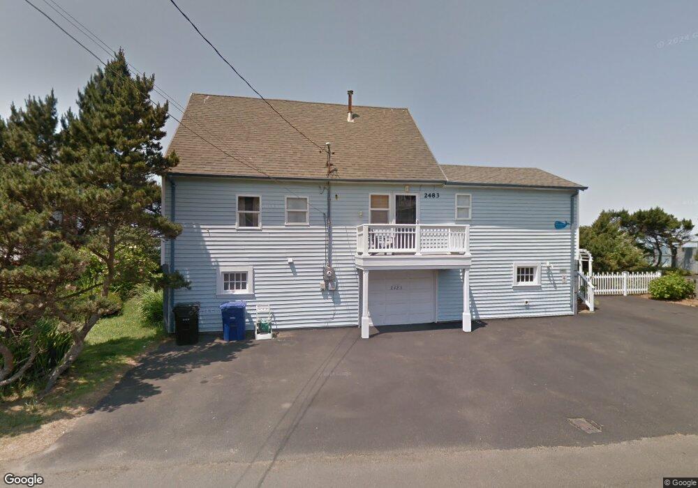
2483 SW Anchor Ave Lincoln City, OR 97367
Nelscott Beach NeighborhoodEstimated Value: $1,031,000 - $1,155,000
4
Beds
2
Baths
1,418
Sq Ft
$771/Sq Ft
Est. Value
About This Home
This home is located at 2483 SW Anchor Ave, Lincoln City, OR 97367 and is currently estimated at $1,093,629, approximately $771 per square foot. 2483 SW Anchor Ave is a home located in Lincoln County with nearby schools including Taft Elementary School, Oceanlake Elementary School, and Taft High School.
Ownership History
Date
Name
Owned For
Owner Type
Purchase Details
Closed on
Aug 17, 2006
Sold by
Engman David and Engman Patricia
Bought by
Heiner George
Current Estimated Value
Purchase Details
Closed on
Sep 22, 2005
Sold by
Normandy James L and Normandy Carole A
Bought by
Scrutton Gene L and Scrutton Karen L
Home Financials for this Owner
Home Financials are based on the most recent Mortgage that was taken out on this home.
Original Mortgage
$359,650
Interest Rate
5.72%
Mortgage Type
Fannie Mae Freddie Mac
Create a Home Valuation Report for This Property
The Home Valuation Report is an in-depth analysis detailing your home's value as well as a comparison with similar homes in the area
Home Values in the Area
Average Home Value in this Area
Purchase History
| Date | Buyer | Sale Price | Title Company |
|---|---|---|---|
| Heiner George | $116,000 | First American Title Ins Co | |
| Scrutton Gene L | $499,900 | First American Title Ins Co |
Source: Public Records
Mortgage History
| Date | Status | Borrower | Loan Amount |
|---|---|---|---|
| Previous Owner | Scrutton Gene L | $359,650 |
Source: Public Records
Tax History Compared to Growth
Tax History
| Year | Tax Paid | Tax Assessment Tax Assessment Total Assessment is a certain percentage of the fair market value that is determined by local assessors to be the total taxable value of land and additions on the property. | Land | Improvement |
|---|---|---|---|---|
| 2024 | $8,032 | $471,110 | -- | -- |
| 2023 | $7,810 | $457,390 | $0 | $0 |
| 2022 | $7,593 | $444,070 | $0 | $0 |
| 2021 | $7,233 | $431,140 | $0 | $0 |
| 2020 | $7,066 | $418,590 | $0 | $0 |
| 2019 | $6,825 | $406,400 | $0 | $0 |
| 2018 | $6,672 | $394,570 | $0 | $0 |
| 2017 | $6,385 | $383,080 | $0 | $0 |
| 2016 | $5,989 | $371,930 | $0 | $0 |
| 2015 | $5,855 | $361,100 | $0 | $0 |
| 2014 | $5,706 | $350,590 | $0 | $0 |
Source: Public Records
Map
Nearby Homes
- 2325 SW Bard Loop
- 2518 SW Anemone Ave
- 2586 SW Anemone Ave
- 2591 SW Barnacle Ave
- 2539 SW Coral Loop
- 611 SW 27th Way
- 2223 SW Coast Ave
- 2672 SW Anchor Ave
- 2209 SW Coast Ave
- 2513 SW Dune Ave
- 2685 SW Beach Ave
- 2764 SW Anchor Ave
- 2746 SW Barnacle Ave
- 2729 SW Coast Ave
- 2700 Blk Sw Coast Avenue Tl1300
- 1933 SW Coast Ave Unit 1
- 2700 blk SW Dune Ct
- 2900 SW Anchor Ave Parcel 1
- 2900 SW Anchor Ave Parcel 2
- 2900 SW Anchor Ave Parcels 1 & 2
- 2487 SW Anchor Ave
- 2479 SW Anchor Ave
- 2489 SW Anchor Ave
- 2480 SW Anchor Ave
- 2461 SW Anchor Ave
- 2548 SW Anchor Ave
- 2477 SW Anemone Ave
- 2468 SW Anchor Ave
- 2465 SW Anemone Ave
- 2545 SW Anchor Ave
- 2481 SW Anemone Ave
- 2460 SW Anchor Ave
- 2511 SW Anemone Ave
- 2461 SW Anemone Ave
- 2440 SW Anchor Ave
- 2521 SW Anemone Ave
- 0 No Site Address Unit 22389616
- 2555 Anchor SW
- 2400 SW Anchor Ave
- 2463 SW Anemome Ave