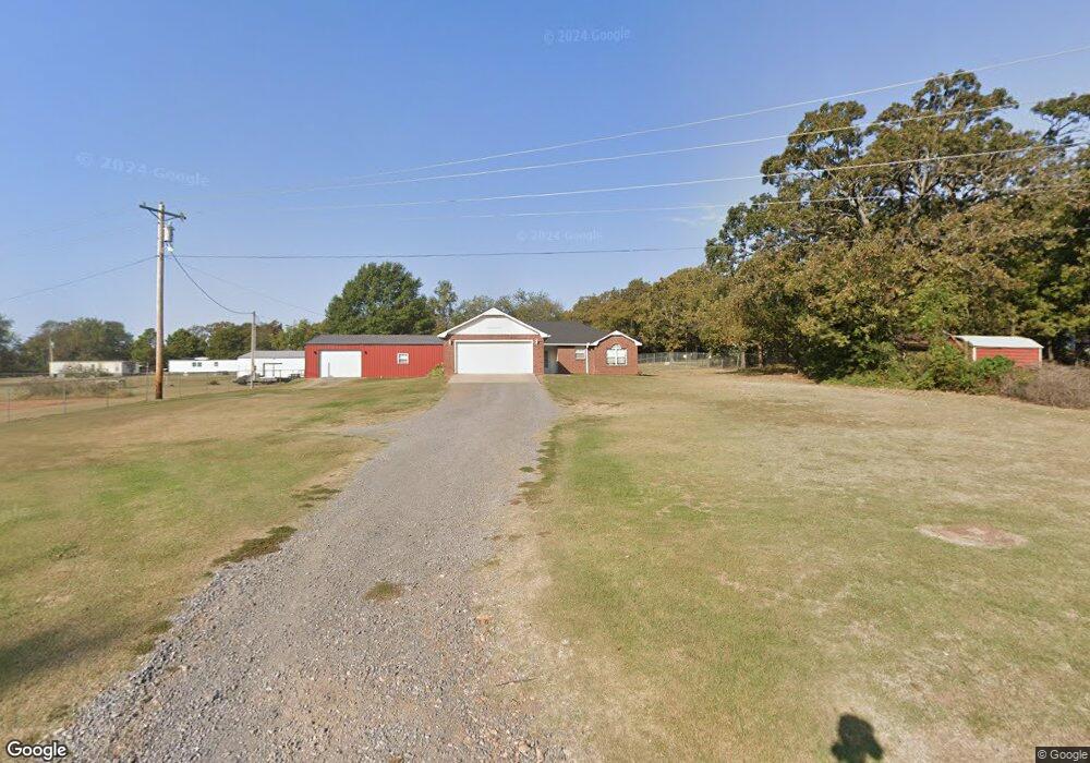
24869 S 470 Rd Tahlequah, OK 74464
Estimated Value: $187,771 - $282,000
3
Beds
2
Baths
1,381
Sq Ft
$163/Sq Ft
Est. Value
About This Home
This home is located at 24869 S 470 Rd, Tahlequah, OK 74464 and is currently estimated at $224,943, approximately $162 per square foot. 24869 S 470 Rd is a home located in Cherokee County with nearby schools including Cherokee Immersion Charter School.
Ownership History
Date
Name
Owned For
Owner Type
Purchase Details
Closed on
Sep 13, 2007
Sold by
Arnall Stephen L and Arnall Cheryl D
Bought by
Smith Wyatt L and Smith Jannifer G
Current Estimated Value
Home Financials for this Owner
Home Financials are based on the most recent Mortgage that was taken out on this home.
Original Mortgage
$109,400
Outstanding Balance
$69,408
Interest Rate
6.7%
Mortgage Type
New Conventional
Estimated Equity
$155,535
Purchase Details
Closed on
Dec 27, 1996
Sold by
Crosslin
Bought by
Arnall
Create a Home Valuation Report for This Property
The Home Valuation Report is an in-depth analysis detailing your home's value as well as a comparison with similar homes in the area
Home Values in the Area
Average Home Value in this Area
Purchase History
| Date | Buyer | Sale Price | Title Company |
|---|---|---|---|
| Smith Wyatt L | $113,500 | Tahlequah Abstract Closing S | |
| Arnall | $70,500 | -- |
Source: Public Records
Mortgage History
| Date | Status | Borrower | Loan Amount |
|---|---|---|---|
| Open | Smith Wyatt L | $109,400 |
Source: Public Records
Tax History Compared to Growth
Tax History
| Year | Tax Paid | Tax Assessment Tax Assessment Total Assessment is a certain percentage of the fair market value that is determined by local assessors to be the total taxable value of land and additions on the property. | Land | Improvement |
|---|---|---|---|---|
| 2025 | $1,052 | $13,965 | $413 | $13,552 |
| 2024 | $1,052 | $14,230 | $330 | $13,900 |
| 2023 | $1,052 | $13,939 | $574 | $13,365 |
| 2022 | $1,040 | $13,829 | $574 | $13,255 |
| 2021 | $1,013 | $13,427 | $574 | $12,853 |
| 2020 | $1,002 | $13,036 | $574 | $12,462 |
| 2019 | $965 | $12,662 | $574 | $12,088 |
| 2018 | $977 | $12,662 | $574 | $12,088 |
| 2017 | $984 | $12,613 | $653 | $11,960 |
| 2016 | $950 | $12,245 | $430 | $11,815 |
| 2015 | $907 | $11,889 | $330 | $11,559 |
| 2014 | $907 | $11,889 | $330 | $11,559 |
Source: Public Records
Map
Nearby Homes
- 13670 W 834 Rd
- 0 Hwy 62 Hwy Unit 2532149
- 0 Hwy 62 Hwy Unit 2532139
- 0 Hwy 62 Hwy Unit 2532141
- 0 Hwy 62 Hwy Unit 2532145
- 14650 W 835 Rd
- 12910 W Southern Oaks St
- 12890 W Southern Oaks St
- 12219 U S 62
- 2 S 490 Rd
- 0 S 490 Rd
- 11396 W Joyce Ln
- 0 S Qualls Rd Unit 2543872
- 22781 S 490 Rd
- 27254 S 490 Rd
- 16289 W 810 Rd
- 16920 W 828 Rd
- 16981 W 828 Rd
- 24481 S Manard Rd
- 0 S 500 Rd Unit 2526574
- 24951 S 470 Rd
- 24859 S 470 Rd
- 24877 S 470 Rd
- 24868 S 470 Rd
- 13953 Highway 62
- 24849 S 470 Rd
- 24885 S 470 Rd
- 24878 S 470 Rd
- 14007 Highway 62
- 13915 Highway 62
- 24854 S 470 Rd
- 13905 Highway 62
- 24933 S 470 Rd
- 13988 W Mulberry Ln
- 14135 Highway 62
- 13907 Highway 62
- 14059 W 826 Rd
- 24839 S 470 Rd
- 24848 S Black Jack Dr
- 13837 Highway 62