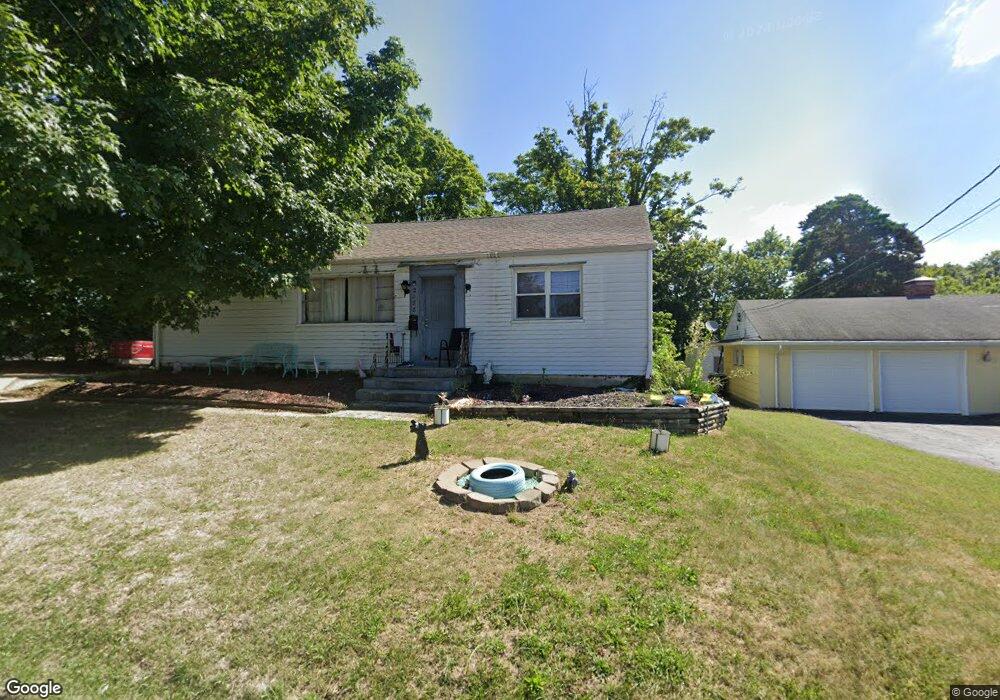
2488 Banning Rd Cincinnati, OH 45239
Estimated Value: $189,000 - $223,581
3
Beds
2
Baths
1,660
Sq Ft
$126/Sq Ft
Est. Value
About This Home
This home is located at 2488 Banning Rd, Cincinnati, OH 45239 and is currently estimated at $209,395, approximately $126 per square foot. 2488 Banning Rd is a home located in Hamilton County with nearby schools including White Oak Middle School, Colerain High School, and Cincinnati Achievement Academy.
Ownership History
Date
Name
Owned For
Owner Type
Purchase Details
Closed on
Jun 26, 2006
Sold by
Wurzelbacher Joseph A and Wurzelbacher Mary Ann
Bought by
Stockton Melvin B and Stockton Geneva
Current Estimated Value
Home Financials for this Owner
Home Financials are based on the most recent Mortgage that was taken out on this home.
Original Mortgage
$94,000
Outstanding Balance
$67,471
Interest Rate
10.85%
Mortgage Type
Unknown
Estimated Equity
$141,924
Create a Home Valuation Report for This Property
The Home Valuation Report is an in-depth analysis detailing your home's value as well as a comparison with similar homes in the area
Home Values in the Area
Average Home Value in this Area
Purchase History
| Date | Buyer | Sale Price | Title Company |
|---|---|---|---|
| Stockton Melvin B | -- | Titleworks Of Ohio Llc |
Source: Public Records
Mortgage History
| Date | Status | Borrower | Loan Amount |
|---|---|---|---|
| Open | Stockton Melvin B | $94,000 |
Source: Public Records
Tax History Compared to Growth
Tax History
| Year | Tax Paid | Tax Assessment Tax Assessment Total Assessment is a certain percentage of the fair market value that is determined by local assessors to be the total taxable value of land and additions on the property. | Land | Improvement |
|---|---|---|---|---|
| 2024 | $2,599 | $48,574 | $9,244 | $39,330 |
| 2023 | $2,615 | $48,574 | $9,244 | $39,330 |
| 2022 | $1,965 | $29,719 | $7,228 | $22,491 |
| 2021 | $1,948 | $29,719 | $7,228 | $22,491 |
| 2020 | $1,969 | $29,719 | $7,228 | $22,491 |
| 2019 | $1,789 | $25,186 | $6,125 | $19,061 |
| 2018 | $1,605 | $25,186 | $6,125 | $19,061 |
| 2017 | $1,521 | $25,186 | $6,125 | $19,061 |
| 2016 | $1,650 | $26,985 | $8,428 | $18,557 |
| 2015 | $1,666 | $26,985 | $8,428 | $18,557 |
| 2014 | $1,669 | $26,985 | $8,428 | $18,557 |
| 2013 | $1,725 | $29,331 | $9,160 | $20,171 |
Source: Public Records
Map
Nearby Homes
- 2481 Crosley Meadow
- 2412 Amelia Ct
- 2424 Banning Rd
- 6851 Rutherford Ct
- 2342 Banning Rd
- 2347 Golf Dr
- 2268 Deblin Dr
- 2390 Golf Dr
- 2598 Byrneside Dr
- 2532 Flanigan Ct
- 2536 Flanigan Ct
- 2503 Flanigan Ct
- 2811 Breezy Way
- 5851 Monfort Hills Ave
- 5970 Colerain Ave
- 2029 Sundale Ave
- 3041 Preserve Ln
- 2125 Mckinley Ave
- 2606 Kipling Ave
- 5845 Shadymist Ln
- 2486 Banning Rd
- 2499 Banning Rd
- 2478 Banning Rd
- 2474 Banning Rd
- 7121 Pippin Rd
- 2477 Banning Rd
- 2466 Banning Rd
- 2552 Banning Rd
- 7181 Pippin Rd
- 2560 Banning Rd
- 2460 Crosley Meadow
- 2460 Banning Rd
- 7116 Swirlwood Ln
- 7211 Pippin Rd
- 2568 Banning Rd
- 7132 Swirlwood Ln
- 7241 Pippin Rd
- 7100 Swirlwood Ln
- 2430 Crosley Meadow
- 2576 Banning Rd