2488 N Fm 51 Decatur, TX 76234
Estimated Value: $412,000 - $601,000
--
Bed
--
Bath
2,053
Sq Ft
$248/Sq Ft
Est. Value
About This Home
This home is located at 2488 N Fm 51, Decatur, TX 76234 and is currently estimated at $508,274, approximately $247 per square foot. 2488 N Fm 51 is a home located in Wise County with nearby schools including Decatur High School and Victory Christian Academy.
Ownership History
Date
Name
Owned For
Owner Type
Purchase Details
Closed on
Apr 16, 2021
Sold by
Shively Ronald W and Shively Lynn W
Bought by
Trevino Jesse Harley and Trevino Deborah
Current Estimated Value
Home Financials for this Owner
Home Financials are based on the most recent Mortgage that was taken out on this home.
Original Mortgage
$313,500
Outstanding Balance
$283,053
Interest Rate
3%
Mortgage Type
New Conventional
Estimated Equity
$225,221
Purchase Details
Closed on
Nov 6, 2009
Sold by
Warren Lynn Wilson
Bought by
Shively Ronald W and Shively Lynn W
Purchase Details
Closed on
Dec 3, 2004
Sold by
Warren Lynn Wilson
Bought by
Shively Ronald and Shively Lynn
Create a Home Valuation Report for This Property
The Home Valuation Report is an in-depth analysis detailing your home's value as well as a comparison with similar homes in the area
Home Values in the Area
Average Home Value in this Area
Purchase History
| Date | Buyer | Sale Price | Title Company |
|---|---|---|---|
| Trevino Jesse Harley | -- | Title Resources | |
| Shively Ronald W | -- | -- | |
| Shively Ronald | -- | -- |
Source: Public Records
Mortgage History
| Date | Status | Borrower | Loan Amount |
|---|---|---|---|
| Open | Trevino Jesse Harley | $313,500 |
Source: Public Records
Tax History Compared to Growth
Tax History
| Year | Tax Paid | Tax Assessment Tax Assessment Total Assessment is a certain percentage of the fair market value that is determined by local assessors to be the total taxable value of land and additions on the property. | Land | Improvement |
|---|---|---|---|---|
| 2025 | $4,058 | $426,658 | $202,753 | $223,905 |
| 2024 | $4,058 | $426,658 | $202,753 | $223,905 |
| 2023 | $4,981 | $412,302 | $0 | $0 |
| 2022 | $5,752 | $374,820 | $165,247 | $209,573 |
| 2021 | $4,958 | $309,280 | $129,990 | $179,290 |
| 2020 | $4,573 | $283,440 | $112,490 | $170,950 |
| 2019 | $4,468 | $281,820 | $112,490 | $169,330 |
| 2018 | $4,196 | $265,710 | $99,990 | $165,720 |
| 2017 | $3,815 | $224,190 | $70,000 | $154,190 |
| 2016 | $3,448 | $195,370 | $60,000 | $135,370 |
| 2015 | -- | $184,040 | $47,500 | $136,540 |
| 2014 | -- | $178,980 | $47,500 | $131,480 |
Source: Public Records
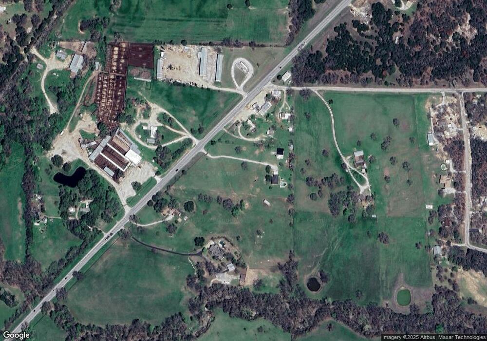
Map
Nearby Homes
- 853 County Road 2215
- 124 Blackstar Ln
- 116 Blackstar Ln
- 132 Blackstar Ln
- 159 Blackstar Ln
- Lot 12 Cedar Springs Estates
- 362 Decatur Cemetery Rd
- 130 Nicholas Way
- 114 Cemetery Rd
- 3092 N Trinity St
- 4002 E Highway 380
- TBD E Hwy 380 Hwy
- 2811 N Trinity St
- 0 Highway 287 Unit 21102120
- 0 Highway 287 Unit 21094377
- 175 Quail Ridge Ct
- 165 Quail Ridge Ct
- 307 E Vernon St
- 1952 Old Decatur Rd
- 114 Sondra Lin Blvd
- 120 Charlies Rd
- 2465 N Fm 51
- 2460 N Fm 51
- 2460 N Fm 51
- 132 Charlies Rd
- 132 Charlies Rd
- 2430 N Fm 51
- 148 Charlies Rd
- 167 Private Road 2232
- 158 Michaels Rd
- 243 Michaels Rd
- 224 Michaels Rd
- 177 County Road 2228
- 177 County Road 2228
- 183 Charlies Rd
- Lot 5 County Road 2229
- Lot 1 County Road 2229
- Lot 3 County Road 2229
- Lot 4 County Road 2229
- Lot 2 County Road 2229