2488 State Route 83 Beverly, OH 45715
Estimated Value: $65,000 - $224,000
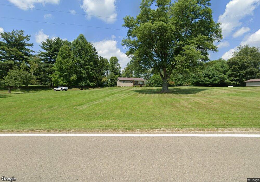
About This Home
This home is located at 2488 State Route 83, Beverly, OH 45715 and is currently estimated at $141,657, approximately $126 per square foot. 2488 State Route 83 is a home located in Morgan County with nearby schools including Fort Frye High School.
Ownership History
We collect this data history from publicly available records. To have your information removed, we recommend requesting removal directly through your county’s website.
Purchase Details
Purchase Details
Purchase Details
Purchase Details
Purchase History
We collect this data history from publicly available records. To have your information removed, we recommend requesting removal directly through your county’s website.
| Date | Buyer | Sale Price | Title Company |
|---|---|---|---|
| -- | None Available | ||
| $62,500 | -- | ||
| $50,000 | -- | ||
| $50,000 | -- |
Mortgage History
We collect this data history from publicly available records. To have your information removed, we recommend requesting removal directly through your county’s website.
| Date | Status | Borrower | Loan Amount |
|---|---|---|---|
| Open | $256,000 | ||
| Closed | $57,000 | ||
| Closed | $172,000 |
Tax History
We collect this data history from publicly available records. To have your information removed, we recommend requesting removal directly through your county’s website.
| Year | Tax Paid | Tax Assessment Tax Assessment Total Assessment is a certain percentage of the fair market value that is determined by local assessors to be the total taxable value of land and additions on the property. | Land | Improvement |
|---|---|---|---|---|
| 2025 | $1,422 | $47,420 | $9,110 | $38,310 |
| 2024 | $1,474 | $47,420 | $9,110 | $38,310 |
| 2023 | $1,028 | $33,710 | $7,760 | $25,950 |
| 2022 | $1,029 | $33,710 | $7,760 | $25,950 |
| 2021 | $1,005 | $32,740 | $7,760 | $24,980 |
| 2019 | $911 | $28,490 | $6,750 | $21,740 |
| 2018 | $863 | $28,490 | $6,750 | $21,740 |
| 2017 | $820 | $26,373 | $5,800 | $20,573 |
| 2016 | $818 | $26,373 | $5,800 | $20,573 |
| 2015 | $842 | $26,373 | $5,800 | $20,573 |
| 2014 | $868 | $26,373 | $5,800 | $20,573 |
| 2013 | $860 | $26,373 | $5,800 | $20,573 |
Map
- 2232 State Route 83
- 2232 State Route 83
- 2232 State Route 83
- 0 Creek Rd Unit 11695564
- 0 Morganstern Ln Unit 5225427
- 0 Morganstern Ln Unit 226025115
- 5055 Tract C Early Ridge
- 5045 Tract C E Reinersville Rd
- 5055 Early Ridge
- 0 Tract ABCD Early Ridge Rd
- 0 Tract D E Reinersville Rd
- 0 Tract B Brownrigg Rd
- Tract A E Reinersville Rd
- 0 Tract A E Reinersville Rd
- 5209 Hanson Hill Rd
- 0 Point Lookout Rd
- 2050 S State Route 266
- 22 Spring St
- 0 Spring St Unit 5194005
- 0 Mary Ln Unit 5192391
- 2520 State Route 83
- 2466 State Route 83
- 2535 Ohio 83
- 2540 State Route 83
- 2535 State Route 83
- 2430 State Route 83
- 2686 Rt 83
- 2600 State Route 83
- 2645 State Route 83
- 2680 State Route 83
- 2686 State Route 83
- 2700 State Route 83
- 2701 State Route 83
- 2699 State Route 83
- 2710 State Route 83
- 7393 Wagner Center Ln
- 2714 State Route 83
- 2460 Hackney Rd
- 2715 State Route 83
- 2450 Hackney Rd
Ask me questions while you tour the home.