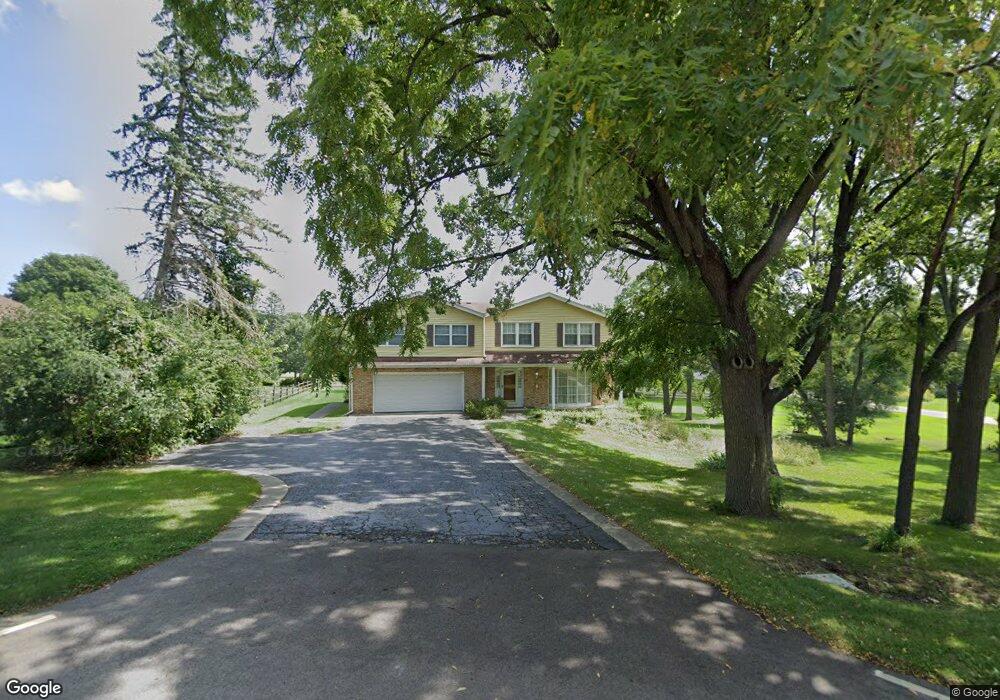
24893 N Pawnee Rd Lake Barrington, IL 60010
Timberlake NeighborhoodEstimated Value: $623,645 - $773,000
--
Bed
4
Baths
2,836
Sq Ft
$243/Sq Ft
Est. Value
About This Home
This home is located at 24893 N Pawnee Rd, Lake Barrington, IL 60010 and is currently estimated at $688,161, approximately $242 per square foot. 24893 N Pawnee Rd is a home located in Lake County with nearby schools including North Barrington Elementary School, Barrington Middle School Station Campus, and Barrington High School.
Ownership History
Date
Name
Owned For
Owner Type
Purchase Details
Closed on
Aug 26, 2002
Sold by
Prudential Residential Svc Ltd Prtnrshp
Bought by
Lavick Cheryl L
Current Estimated Value
Purchase Details
Closed on
Jul 8, 2002
Sold by
Williams Tommy L and Williams Sandra J
Bought by
Prudential Residential Svc Ltd Prtnrshp
Create a Home Valuation Report for This Property
The Home Valuation Report is an in-depth analysis detailing your home's value as well as a comparison with similar homes in the area
Home Values in the Area
Average Home Value in this Area
Purchase History
| Date | Buyer | Sale Price | Title Company |
|---|---|---|---|
| Lavick Cheryl L | $388,000 | -- | |
| Prudential Residential Svc Ltd Prtnrshp | $388,000 | -- |
Source: Public Records
Tax History Compared to Growth
Tax History
| Year | Tax Paid | Tax Assessment Tax Assessment Total Assessment is a certain percentage of the fair market value that is determined by local assessors to be the total taxable value of land and additions on the property. | Land | Improvement |
|---|---|---|---|---|
| 2024 | $11,057 | $178,848 | $39,846 | $139,002 |
| 2023 | $11,784 | $158,434 | $35,298 | $123,136 |
| 2022 | $11,784 | $166,601 | $39,933 | $126,668 |
| 2021 | $11,631 | $163,768 | $39,254 | $124,514 |
| 2020 | $11,364 | $163,262 | $39,133 | $124,129 |
| 2019 | $10,920 | $158,954 | $38,100 | $120,854 |
| 2018 | $10,193 | $154,171 | $42,468 | $111,703 |
| 2017 | $10,157 | $151,074 | $41,615 | $109,459 |
| 2016 | $9,851 | $145,375 | $40,045 | $105,330 |
| 2015 | $9,400 | $136,349 | $37,559 | $98,790 |
| 2014 | $9,573 | $133,614 | $35,668 | $97,946 |
| 2012 | $9,240 | $135,911 | $36,281 | $99,630 |
Source: Public Records
Map
Nearby Homes
- 83 S Wynstone Dr
- 729 Old Barn Rd Unit C
- 96 S Wynstone Dr
- 115 Red Wing Ln
- 660 Old Barn Rd Unit F-24
- 535 Woodview Rd
- 24334 N Grandview Dr
- 47 S Wynstone Dr
- 294 Mallard Point Unit A
- 1 Kensington Dr
- 748 Shoreline Rd
- 220 Thornhill Ct Unit D
- 68 Thornhill Ln
- 668 Shoreline Rd Unit 695
- 39 Deverell Dr
- 431 Maplewood Dr
- 35 Riderwood Rd
- 431 E Oakwood Dr
- 209 Shoreline Rd Unit B
- 15 S Wynstone Dr
- 296 Apache
- 25790 W Apache Ln
- 24919 N Pawnee Rd
- 24930 N Pawnee Rd
- 24949 N Pawnee Rd
- 25853 W Apache Ln
- 25770 W Apache Ln
- 25801 W Apache Ln
- 25877 W Apache Ln
- 24960 N Pawnee Rd
- 25773 W Apache Ln
- 25833 W Apache Ln
- 245 Indian Trail Rd
- 25870 W Apache Ln
- 24829 N Cherokee Dr
- 24851 N Cherokee Dr
- 24979 N Pawnee Rd
- 25738 Blackhawk Ln
- 24976 N Pawnee Rd