249 Beersheba Rd S Clover, SC 29710
Estimated Value: $278,418 - $369,000
Studio
--
Bath
1,803
Sq Ft
$185/Sq Ft
Est. Value
About This Home
This home is located at 249 Beersheba Rd S, Clover, SC 29710 and is currently estimated at $333,105, approximately $184 per square foot. 249 Beersheba Rd S is a home with nearby schools including Cotton Belt Elementary School, York Intermediate School, and York Middle School.
Ownership History
Date
Name
Owned For
Owner Type
Purchase Details
Closed on
Nov 2, 2012
Sold by
Estate Of Edward Jackson Pinson
Bought by
The Edward Jackson Pinson Revocable Trus
Current Estimated Value
Purchase Details
Closed on
Apr 18, 2007
Sold by
Pinson Edith H
Bought by
Pinson Edward J
Purchase Details
Closed on
Nov 10, 1999
Sold by
Landreth Earl M
Bought by
Pinson Edward J
Create a Home Valuation Report for This Property
The Home Valuation Report is an in-depth analysis detailing your home's value as well as a comparison with similar homes in the area
Home Values in the Area
Average Home Value in this Area
Purchase History
| Date | Buyer | Sale Price | Title Company |
|---|---|---|---|
| The Edward Jackson Pinson Revocable Trus | -- | -- | |
| Pinson Edward J | -- | None Available | |
| Pinson Edward J | $249,500 | -- |
Source: Public Records
Tax History
| Year | Tax Paid | Tax Assessment Tax Assessment Total Assessment is a certain percentage of the fair market value that is determined by local assessors to be the total taxable value of land and additions on the property. | Land | Improvement |
|---|---|---|---|---|
| 2025 | $2,821 | $6,493 | $857 | $5,636 |
| 2024 | $2,442 | $5,691 | $408 | $5,283 |
| 2023 | $2,411 | $5,691 | $408 | $5,283 |
| 2022 | $2,317 | $5,691 | $408 | $5,283 |
| 2021 | -- | $5,691 | $408 | $5,283 |
| 2020 | $2,252 | $5,691 | $0 | $0 |
| 2019 | $2,033 | $4,939 | $0 | $0 |
| 2018 | $1,965 | $4,939 | $0 | $0 |
| 2017 | $1,888 | $4,939 | $0 | $0 |
| 2016 | $1,852 | $4,939 | $0 | $0 |
| 2014 | $1,743 | $7,050 | $2,430 | $4,620 |
| 2013 | $1,743 | $5,059 | $409 | $4,650 |
Source: Public Records
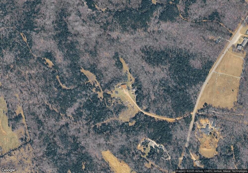
Map
Nearby Homes
- 2976 / 2980 Propst Rd
- 137 Cedar Grove Rd
- 3625 Black Hwy
- Tract C Cedar Grove Rd
- 3695 Black Hwy
- 1491 Cedar Grove Rd
- 1846 Apple Blossom Rd
- 1108 King Rd
- 0 Ramah Church Rd Unit 25893369
- 357 Pendergrass Rd
- 2009 Sugar Hill Rd
- 0 Mcgill Rd
- 1106 Sierra Rd
- 113 Tanager Dr
- 1168 Sutton Spring Rd
- 10+/-AC Ramah Church Rd Unit LOT D
- 10+/-AC Ramah Church Rd Unit LOT A
- 10+/-AC Ramah Church Rd Unit LOT C
- 13+/-AC Ramah Church Rd Unit LOT B
- 1570 Springlake Rd
- 293 S Beersheba Rd
- 232 Beersheba Rd S
- 145 Beersheba Rd S
- 325 S Beersheba Rd
- 290 Beersheba Rd S
- 371 Beersheba Rd S
- 353 Beersheba Rd S
- 320 Beersheba Rd S
- 2925 Black Hwy
- 393 Beersheba Rd S
- 2963 Black Hwy
- 342 Beersheba Rd S
- 405 Beersheba Rd S
- 224 Beersheba Rd S
- 433 Beersheba Rd S
- 447 Beersheba Rd S
- 10 Ac Beersheba Rd
- 360 Beersheba Rd S
- 386 Beersheba Rd S
- 111 Beersheba Rd N
Your Personal Tour Guide
Ask me questions while you tour the home.