249 Black Rd Statesville, NC 28677
Estimated Value: $299,000 - $505,000
3
Beds
2
Baths
2,736
Sq Ft
$147/Sq Ft
Est. Value
About This Home
This home is located at 249 Black Rd, Statesville, NC 28677 and is currently estimated at $401,493, approximately $146 per square foot. 249 Black Rd is a home located in Iredell County with nearby schools including Celeste Henkel Elementary School, West Iredell Middle School, and West Iredell High School.
Ownership History
Date
Name
Owned For
Owner Type
Purchase Details
Closed on
Jun 20, 2019
Sold by
Miller Marlene H
Bought by
Bass Derrick L and Bass Victoria M
Current Estimated Value
Home Financials for this Owner
Home Financials are based on the most recent Mortgage that was taken out on this home.
Original Mortgage
$145,000
Outstanding Balance
$60,940
Interest Rate
3.82%
Mortgage Type
Seller Take Back
Estimated Equity
$340,553
Purchase Details
Closed on
Mar 23, 1999
Sold by
Bass Manley W and Bass Carolyn I
Bought by
Bass Derrick L
Create a Home Valuation Report for This Property
The Home Valuation Report is an in-depth analysis detailing your home's value as well as a comparison with similar homes in the area
Home Values in the Area
Average Home Value in this Area
Purchase History
| Date | Buyer | Sale Price | Title Company |
|---|---|---|---|
| Bass Derrick L | $295,000 | None Available | |
| Bass Derrick L | -- | -- |
Source: Public Records
Mortgage History
| Date | Status | Borrower | Loan Amount |
|---|---|---|---|
| Open | Bass Derrick L | $145,000 |
Source: Public Records
Tax History Compared to Growth
Tax History
| Year | Tax Paid | Tax Assessment Tax Assessment Total Assessment is a certain percentage of the fair market value that is determined by local assessors to be the total taxable value of land and additions on the property. | Land | Improvement |
|---|---|---|---|---|
| 2024 | $1,471 | $239,110 | $29,250 | $209,860 |
| 2023 | $1,471 | $239,110 | $29,250 | $209,860 |
| 2022 | $1,110 | $167,290 | $17,550 | $149,740 |
| 2021 | $1,106 | $167,290 | $17,550 | $149,740 |
| 2020 | $1,106 | $167,290 | $17,550 | $149,740 |
| 2019 | $1,089 | $167,290 | $17,550 | $149,740 |
| 2018 | $952 | $150,700 | $17,550 | $133,150 |
| 2017 | $952 | $150,700 | $17,550 | $133,150 |
| 2016 | $952 | $150,700 | $17,550 | $133,150 |
| 2015 | $952 | $150,700 | $17,550 | $133,150 |
| 2014 | $928 | $157,870 | $17,550 | $140,320 |
Source: Public Records
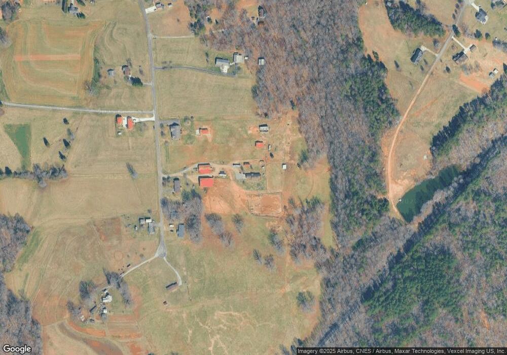
Map
Nearby Homes
- 167 Angel Oaks Dr
- 1144 Old Mountain Rd
- 1384 Old Mountain Rd
- 173 Backcreek Ln
- 1197 Eufola Rd
- 00001 Buffalo Shoals Rd
- 108 Big Tree Dr
- 122 Blueberry Ln
- 0 Carriage Rd
- 270 Lewis Ferry Rd
- 115 Three Oaks Ln
- 109 Gatwick Ct
- 103 Dublin Ct
- 130 Greenwich Dr
- 141 Pounders Ridge Ln
- 123 Buffalo Creek Dr
- 3119 Hickory Hwy
- 0000 Lauren Dr
- 152 Rumple Hill Dr
- 178 Old Airport Rd