249 Briar Patch Ln Frankfort, KY 40601
Estimated Value: $238,000 - $266,414
3
Beds
3
Baths
--
Sq Ft
7,928
Sq Ft Lot
About This Home
This home is located at 249 Briar Patch Ln, Frankfort, KY 40601 and is currently estimated at $250,138. 249 Briar Patch Ln is a home located in Franklin County with nearby schools including Collins Lane Elementary School, Bondurant Middle School, and Western Hills High School.
Ownership History
Date
Name
Owned For
Owner Type
Purchase Details
Closed on
Apr 14, 2006
Sold by
Campbell Curtis D and Campbell Sereta
Bought by
Embry Karen and Embry Darrell
Current Estimated Value
Home Financials for this Owner
Home Financials are based on the most recent Mortgage that was taken out on this home.
Original Mortgage
$151,620
Outstanding Balance
$85,841
Interest Rate
6.2%
Mortgage Type
FHA
Estimated Equity
$164,297
Create a Home Valuation Report for This Property
The Home Valuation Report is an in-depth analysis detailing your home's value as well as a comparison with similar homes in the area
Home Values in the Area
Average Home Value in this Area
Purchase History
| Date | Buyer | Sale Price | Title Company |
|---|---|---|---|
| Embry Karen | $154,000 | -- |
Source: Public Records
Mortgage History
| Date | Status | Borrower | Loan Amount |
|---|---|---|---|
| Open | Embry Karen | $151,620 |
Source: Public Records
Tax History
| Year | Tax Paid | Tax Assessment Tax Assessment Total Assessment is a certain percentage of the fair market value that is determined by local assessors to be the total taxable value of land and additions on the property. | Land | Improvement |
|---|---|---|---|---|
| 2025 | $1,388 | $165,000 | $0 | $0 |
| 2024 | $1,432 | $165,000 | $0 | $0 |
| 2023 | $1,418 | $165,000 | $0 | $0 |
| 2022 | $1,474 | $165,000 | $0 | $0 |
| 2021 | $1,462 | $165,000 | $0 | $0 |
| 2020 | $1,955 | $165,000 | $25,000 | $140,000 |
| 2019 | $1,863 | $154,000 | $25,000 | $129,000 |
| 2018 | $1,859 | $154,000 | $25,000 | $129,000 |
| 2017 | -- | $154,000 | $25,000 | $129,000 |
| 2016 | $1,756 | $154,000 | $25,000 | $129,000 |
| 2015 | $1,537 | $154,000 | $25,000 | $129,000 |
| 2011 | $1,537 | $154,000 | $25,000 | $129,000 |
Source: Public Records
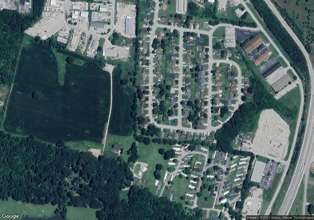
Map
Nearby Homes
- 409 Briar Patch Ln
- 200 Old Harrodsburg Rd Unit 19
- 1054 Devane Ln
- 945 Stoney Creek Dr
- 0 Physicians Park Unit 23001767
- 1914 Nostalgic Place
- 361 Garden Point Dr
- 380 Harrodswood Rd
- 313 Old Station Rd
- 217 Old Station Rd
- 106 Cave Run Dr
- 309 Old Station Rd
- 224 Meadowview Dr
- 299 Old Station Rd
- 136 Valley Brook Dr
- 109 Valley Brook Dr
- 1701 Louisville Rd Unit Lots 1-3
- 1091 Collins Ln
- 507 Timothy Dr
- 120 Lynnwood Dr
- 329 Briar Patch Ln
- 245 Briar Patch Ln
- 301 Briar Patch Ln
- 144 Cedar Crest Ln
- 241 Briar Patch Ln
- 140 Cedar Crest Ln
- 305 Briar Patch Ln
- 136 Cedar Crest Ln
- 260 Briar Patch Ln
- 256 Briar Patch Ln
- 237 Briar Patch Ln
- 264 Briar Patch Ln
- 252 Briar Patch Ln
- 132 Cedar Crest Ln
- 268 Briar Patch Ln
- 248 Briar Patch Ln
- 300 Briar Patch Ln
- 233 Briar Patch Ln
- 304 Briar Patch Ln
- 128 Cedar Crest Ln
Your Personal Tour Guide
Ask me questions while you tour the home.