249 Brookwood Dr South Lyon, MI 48178
Estimated Value: $170,686 - $186,000
2
Beds
2
Baths
1,015
Sq Ft
$175/Sq Ft
Est. Value
About This Home
This home is located at 249 Brookwood Dr, South Lyon, MI 48178 and is currently estimated at $177,922, approximately $175 per square foot. 249 Brookwood Dr is a home located in Oakland County with nearby schools including Frank E. Bartlett School, Millennium Middle School, and South Lyon East High School.
Ownership History
Date
Name
Owned For
Owner Type
Purchase Details
Closed on
Jul 9, 2025
Sold by
249 Brookwood Drive 4 Trust
Bought by
Jeffrey L Henson And Kristen L Henson Trust
Current Estimated Value
Purchase Details
Closed on
Mar 1, 2017
Sold by
Barnes Sarah B and Barnes Pelton Sarah
Bought by
249 Brookwood Drive 4 Trust
Purchase Details
Closed on
Dec 7, 2005
Sold by
Brookwood Farms Llc
Bought by
Barnes Sarah B
Create a Home Valuation Report for This Property
The Home Valuation Report is an in-depth analysis detailing your home's value as well as a comparison with similar homes in the area
Home Values in the Area
Average Home Value in this Area
Purchase History
| Date | Buyer | Sale Price | Title Company |
|---|---|---|---|
| Jeffrey L Henson And Kristen L Henson Trust | $171,500 | Ata National Title | |
| Jeffrey L Henson And Kristen L Henson Trust | $171,500 | Ata National Title | |
| 249 Brookwood Drive 4 Trust | $107,000 | None Available | |
| Barnes Sarah B | $117,300 | Title Source Inc |
Source: Public Records
Tax History Compared to Growth
Tax History
| Year | Tax Paid | Tax Assessment Tax Assessment Total Assessment is a certain percentage of the fair market value that is determined by local assessors to be the total taxable value of land and additions on the property. | Land | Improvement |
|---|---|---|---|---|
| 2024 | $2,953 | $78,660 | $0 | $0 |
| 2023 | $2,784 | $75,010 | $0 | $0 |
| 2022 | $2,681 | $70,470 | $0 | $0 |
| 2021 | $2,565 | $66,160 | $0 | $0 |
| 2020 | $2,497 | $61,070 | $0 | $0 |
| 2019 | $2,521 | $52,370 | $0 | $0 |
| 2018 | $2,458 | $41,770 | $0 | $0 |
| 2017 | $1,322 | $38,290 | $0 | $0 |
| 2016 | $1,312 | $33,070 | $0 | $0 |
| 2015 | -- | $27,960 | $0 | $0 |
| 2014 | -- | $22,600 | $0 | $0 |
| 2011 | -- | $44,800 | $0 | $0 |
Source: Public Records
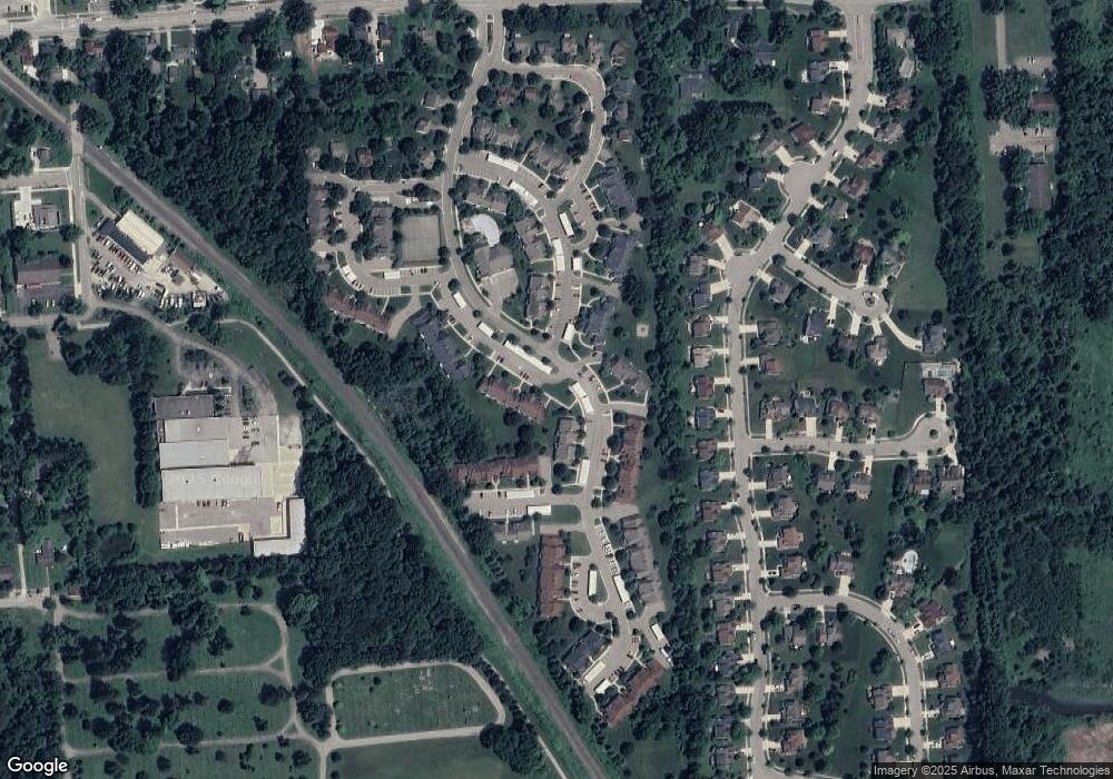
Map
Nearby Homes
- 204 Maplewood Ct Unit 4
- 105 Aspen Way Unit 12
- 59550 10 Mile Rd
- 404 Stryker St
- 59121 Oasis Center Dr
- 942 Westbrooke Dr
- 27487 Pontiac Trail
- 975 S Parkwood Dr
- 58415 10 Mile Rd
- 22622 Pine Dr
- 320 Hampton Ct Unit 33
- 162 Princeton Dr
- 108 Princeton Dr Unit 4
- 25100 Martindale Rd
- 25638 Mccrory Ln
- 22150 Donnas Drive St
- 429 Cambridge Ave
- 58423 Winnowing Cir N
- 25000 Carriage Ln
- 61021 Heritage Blvd Unit 4
- 249 Brookwood Dr Unit 2
- 249 Brookwood Dr Unit 5
- 249 Brookwood Dr
- 249 Brookwood Dr
- 249 Brookwood Dr
- 249 Brookwood Dr
- 249 Brookwood Dr
- 249 Brookwood Dr
- 249 Brookwood Dr Unit 25 7
- 249 Brookwood Dr Unit 249, 2
- 249 Brookwood Dr Unit 7
- 249 Brookwood Dr Unit 25L 4
- 249 Brookwood Dr
- 249 Brookwood Dr Unit 5
- 200 Brookwood Dr
- 240 Brookwood Dr
- 240 Brookwood Dr
- 240 Brookwood Dr
- 240 Brookwood Dr
- 240 Brookwood Dr