249 E Scott Dr Shelton, WA 98584
Estimated Value: $83,000 - $599,000
Studio
--
Bath
--
Sq Ft
185,130
Sq Ft Lot
About This Home
This home is located at 249 E Scott Dr, Shelton, WA 98584 and is currently estimated at $434,223. 249 E Scott Dr is a home with nearby schools including Pioneer Primary School and Pioneer Intermediate/Middle School.
Ownership History
Date
Name
Owned For
Owner Type
Purchase Details
Closed on
Feb 14, 2006
Sold by
Squires David W
Bought by
Squires Bill E
Current Estimated Value
Purchase Details
Closed on
Aug 12, 2005
Sold by
Mccarthy Virginia M and Mccarthy Walter C
Bought by
Squires David W
Home Financials for this Owner
Home Financials are based on the most recent Mortgage that was taken out on this home.
Original Mortgage
$144,000
Interest Rate
5.48%
Mortgage Type
Purchase Money Mortgage
Create a Home Valuation Report for This Property
The Home Valuation Report is an in-depth analysis detailing your home's value as well as a comparison with similar homes in the area
Purchase History
| Date | Buyer | Sale Price | Title Company |
|---|---|---|---|
| Squires Bill E | -- | None Available | |
| Squires David W | $180,000 | Land Title Co |
Source: Public Records
Mortgage History
| Date | Status | Borrower | Loan Amount |
|---|---|---|---|
| Closed | Squires David W | $144,000 |
Source: Public Records
Tax History
| Year | Tax Paid | Tax Assessment Tax Assessment Total Assessment is a certain percentage of the fair market value that is determined by local assessors to be the total taxable value of land and additions on the property. | Land | Improvement |
|---|---|---|---|---|
| 2025 | $2,374 | $390,265 | $305,630 | $84,635 |
| 2023 | $2,374 | $265,515 | $265,515 | $0 |
| 2022 | $2,549 | $257,790 | $257,790 | $0 |
| 2021 | $3,198 | $257,790 | $257,790 | $0 |
| 2020 | $3,124 | $298,740 | $298,740 | $0 |
| 2018 | $3,129 | $266,735 | $266,735 | $0 |
| 2017 | $3,427 | $266,730 | $266,730 | $0 |
| 2016 | $3,327 | $301,000 | $297,000 | $4,000 |
| 2015 | $3,071 | $291,720 | $287,720 | $4,000 |
| 2014 | -- | $298,145 | $293,905 | $4,240 |
| 2013 | -- | $282,640 | $278,440 | $4,200 |
Source: Public Records
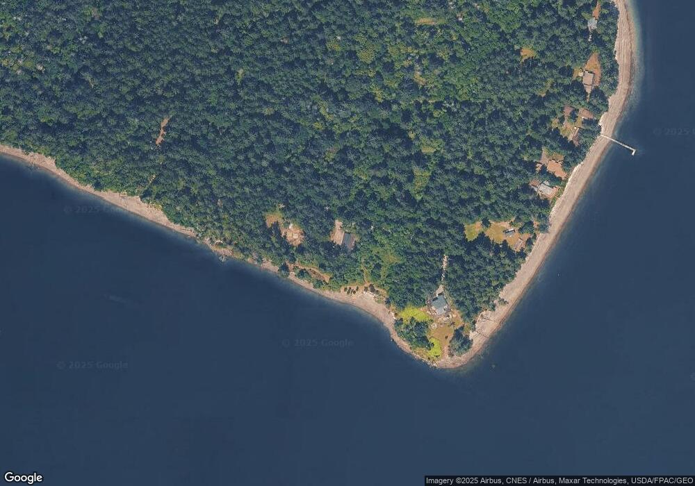
Map
Nearby Homes
- 91 E Franjo Beach Dr
- 280 SE Dawnview Dr
- 6700 SE Arcadia Rd
- 6350 SE Arcadia Rd
- 3130 Steamboat Island Rd NW
- 4 XX SE Sea Der Hok Ln
- 10 E Rose Ln
- 5151 E Pickering Rd
- 373 E Budd Dr
- 81 E Annas Way
- 480 E Lakeshore Dr E
- 5981 SE Arcadia Rd
- 350 E Lakeshore Dr W
- 371 E Lakeshore Dr W
- 140 E Elk Place
- 20 E Totten Place
- 170 E Pickering Dr
- 2406 Island Dr NW
- 0 Lot 136 E Agate Rd
- 561 E Lakeshore Dr W
- 247 E Scott Dr
- 251 E Scott Dr
- 243 E Scott Dr
- 241 E Scott Dr
- 193 E Scott Dr
- 191 E Scott Dr
- 0 LOT E Scott Dr
- 131 E Scott Dr
- 93 E Scott Dr
- 721 E Benson Loop
- 91 E Scott Dr
- 80 E Moonlight Oasis
- 0 E Moonlight Oasis Rd Unit 733743
- 0 E Moonlight Oasis Rd Unit 503829
- 61 E Scott Dr
- 120 E Moonlight Oasis
- 847 E Benson Loop Rd
- 0 XXX E Moonlight Oasis Rd
- 131 E Moonlight Oasis
- 11 E Moonlight Oasis
Your Personal Tour Guide
Ask me questions while you tour the home.