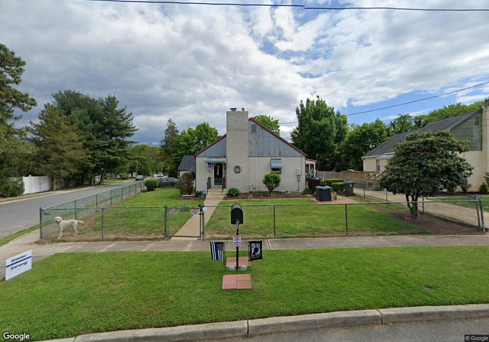
249 Elm Ave Mantua, NJ 08051
Mantua Township NeighborhoodEstimated Value: $304,162
3
Beds
1
Bath
920
Sq Ft
$331/Sq Ft
Est. Value
About This Home
This home is located at 249 Elm Ave, Mantua, NJ 08051 and is currently estimated at $304,162, approximately $330 per square foot. 249 Elm Ave is a home located in Gloucester County with nearby schools including Centre City School, Clearview Regional Middle School, and Clearview Regional High School.
Ownership History
Date
Name
Owned For
Owner Type
Purchase Details
Closed on
Nov 17, 2008
Sold by
Green Carlin Janis
Bought by
Carlin John T and Green Carlin Janis
Current Estimated Value
Purchase Details
Closed on
Sep 26, 2005
Sold by
Tolentino Christina M and Tolentino Cristina M
Bought by
Johnston Jennifer M
Purchase Details
Closed on
May 17, 2005
Sold by
Carlin John T and Green Carlin Janis
Bought by
Green Carlin Janis
Create a Home Valuation Report for This Property
The Home Valuation Report is an in-depth analysis detailing your home's value as well as a comparison with similar homes in the area
Home Values in the Area
Average Home Value in this Area
Purchase History
| Date | Buyer | Sale Price | Title Company |
|---|---|---|---|
| Carlin John T | -- | None Available | |
| Johnston Jennifer M | $183,900 | Weichert Title | |
| Green Carlin Janis | -- | Us Recordings Inc |
Source: Public Records
Tax History Compared to Growth
Tax History
| Year | Tax Paid | Tax Assessment Tax Assessment Total Assessment is a certain percentage of the fair market value that is determined by local assessors to be the total taxable value of land and additions on the property. | Land | Improvement |
|---|---|---|---|---|
| 2025 | -- | $218,600 | $51,600 | $167,000 |
| 2024 | -- | $218,600 | $51,600 | $167,000 |
| 2023 | -- | $218,600 | $51,600 | $167,000 |
| 2022 | -- | $108,300 | $35,600 | $72,700 |
| 2021 | $3,072 | $108,300 | $35,600 | $72,700 |
| 2020 | $0 | $108,300 | $35,600 | $72,700 |
| 2019 | $0 | $108,300 | $35,600 | $72,700 |
| 2018 | $0 | $108,300 | $35,600 | $72,700 |
| 2017 | $0 | $108,300 | $35,600 | $72,700 |
| 2016 | $0 | $108,300 | $35,600 | $72,700 |
| 2015 | -- | $108,300 | $35,600 | $72,700 |
| 2014 | -- | $102,800 | $35,600 | $67,200 |
Source: Public Records
Map
Nearby Homes
- 47 New Jersey Ave
- 8 Barry Dr
- 505 W Mantua Ave
- 748 Dartmouth Dr
- 325 Bridgeton Pike
- 119 Monroe Ave
- 1215 Tristram Cir
- 125 Ivy Ln
- 1134 Tristram Cir Unit 4
- 111 Cove Rd
- 1145 Tristram Cir
- 1147 Tristram Cir Unit 1147
- 1433 Tristram Cir
- 41 Woodbrook Dr Unit C041
- 261 Tony Cir
- 26 Woodstream Ct
- 204 W Landing Rd
- 75 Hickory Ave
- 485 Harrison Ave
- 711 Howard Ave