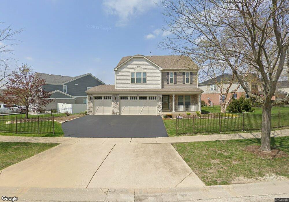
249 Ian Ave New Lenox, IL 60451
Estimated Value: $498,093 - $544,000
3
Beds
3
Baths
2,500
Sq Ft
$210/Sq Ft
Est. Value
About This Home
This home is located at 249 Ian Ave, New Lenox, IL 60451 and is currently estimated at $525,273, approximately $210 per square foot. 249 Ian Ave is a home located in Will County with nearby schools including Bentley Elementary School, Arnold J Tyler School, and Alex M Martino Jr High School.
Ownership History
Date
Name
Owned For
Owner Type
Purchase Details
Closed on
Oct 13, 2006
Sold by
Laurel Meadow Llc
Bought by
Clark Kenneth W and Clark Sara M
Current Estimated Value
Home Financials for this Owner
Home Financials are based on the most recent Mortgage that was taken out on this home.
Original Mortgage
$327,000
Outstanding Balance
$195,558
Interest Rate
6.5%
Mortgage Type
Purchase Money Mortgage
Estimated Equity
$329,715
Create a Home Valuation Report for This Property
The Home Valuation Report is an in-depth analysis detailing your home's value as well as a comparison with similar homes in the area
Home Values in the Area
Average Home Value in this Area
Purchase History
| Date | Buyer | Sale Price | Title Company |
|---|---|---|---|
| Clark Kenneth W | $363,500 | First American Title Ins Co |
Source: Public Records
Mortgage History
| Date | Status | Borrower | Loan Amount |
|---|---|---|---|
| Open | Clark Kenneth W | $327,000 |
Source: Public Records
Tax History Compared to Growth
Tax History
| Year | Tax Paid | Tax Assessment Tax Assessment Total Assessment is a certain percentage of the fair market value that is determined by local assessors to be the total taxable value of land and additions on the property. | Land | Improvement |
|---|---|---|---|---|
| 2024 | $10,667 | $139,444 | $38,942 | $100,502 |
| 2023 | $10,667 | $127,114 | $35,499 | $91,615 |
| 2022 | $10,246 | $117,102 | $32,703 | $84,399 |
| 2021 | $9,126 | $110,131 | $30,756 | $79,375 |
| 2020 | $8,867 | $106,202 | $29,659 | $76,543 |
| 2019 | $8,486 | $102,909 | $28,739 | $74,170 |
| 2018 | $8,290 | $99,362 | $27,748 | $71,614 |
| 2017 | $7,877 | $96,505 | $26,950 | $69,555 |
| 2016 | $7,647 | $93,922 | $26,229 | $67,693 |
| 2015 | $7,403 | $90,965 | $25,403 | $65,562 |
| 2014 | $7,403 | $89,842 | $25,089 | $64,753 |
| 2013 | $7,403 | $91,053 | $25,427 | $65,626 |
Source: Public Records
Map
Nearby Homes
- 203 Tonell Ave
- 235 Roberts Rd
- 117 Walona Ave
- 920 Barnside Rd
- 513 Somerset Ln
- 805 Regent St
- 328 E Lincoln Hwy
- 1017 E Lincoln Hwy
- 718 S Prairie Rd
- 00 NE Corner Cherry Hill Road and Moss Lane Rd
- 125 N Anderson Rd
- 214 Somerset Ct
- 315 S Pine St
- 1125 Georgias Way
- 1139 Georgias Way
- 202 Hickory St
- 1212 Georgias Way
- 1193 Georgias Way
- 1535 Glenbrooke Ln
- 1245 Georgias Way