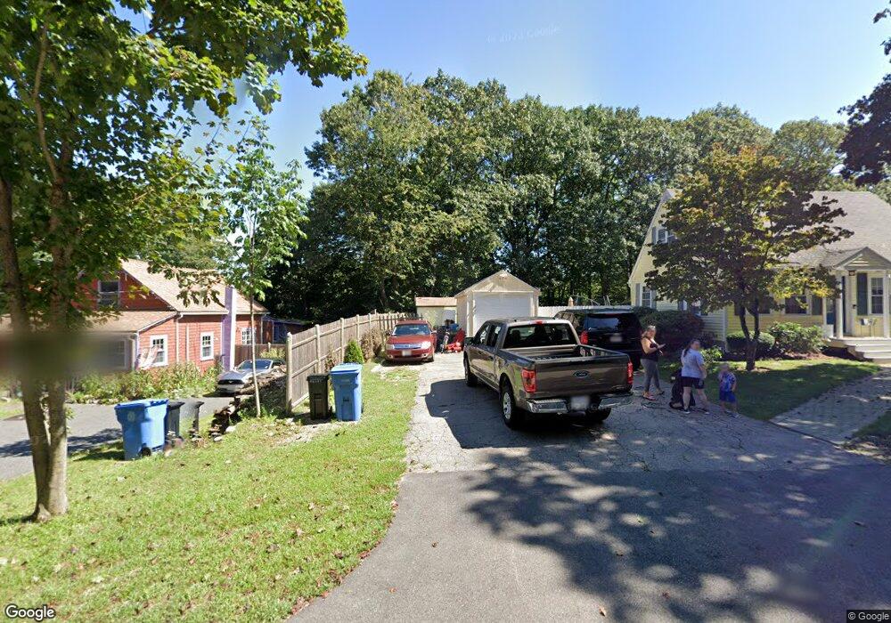
249 Madison St Wrentham, MA 02093
Estimated Value: $603,000 - $696,098
4
Beds
1
Bath
1,264
Sq Ft
$503/Sq Ft
Est. Value
About This Home
This home is located at 249 Madison St, Wrentham, MA 02093 and is currently estimated at $635,775, approximately $502 per square foot. 249 Madison St is a home located in Norfolk County with nearby schools including Delaney Elementary School, Charles E Roderick, and Cadence Academy Preschool - North Attleborough.
Ownership History
Date
Name
Owned For
Owner Type
Purchase Details
Closed on
Apr 14, 2016
Sold by
Chute Donald R and Chute Pauline V
Bought by
Chute Donald R and Chute Pauline
Current Estimated Value
Purchase Details
Closed on
Oct 22, 1980
Bought by
Chute Donald R and Chute Pauline
Create a Home Valuation Report for This Property
The Home Valuation Report is an in-depth analysis detailing your home's value as well as a comparison with similar homes in the area
Home Values in the Area
Average Home Value in this Area
Purchase History
| Date | Buyer | Sale Price | Title Company |
|---|---|---|---|
| Chute Donald R | -- | -- | |
| Chute Donald R | -- | -- |
Source: Public Records
Mortgage History
| Date | Status | Borrower | Loan Amount |
|---|---|---|---|
| Previous Owner | Chute Donald R | $35,000 | |
| Previous Owner | Chute Donald R | $41,000 | |
| Previous Owner | Chute Donald R | $41,000 |
Source: Public Records
Tax History Compared to Growth
Tax History
| Year | Tax Paid | Tax Assessment Tax Assessment Total Assessment is a certain percentage of the fair market value that is determined by local assessors to be the total taxable value of land and additions on the property. | Land | Improvement |
|---|---|---|---|---|
| 2025 | $6,567 | $566,600 | $340,900 | $225,700 |
| 2024 | $6,340 | $528,300 | $340,900 | $187,400 |
| 2023 | $6,237 | $494,200 | $313,900 | $180,300 |
| 2022 | $5,823 | $426,000 | $275,800 | $150,200 |
| 2021 | $6,126 | $435,400 | $287,500 | $147,900 |
| 2020 | $5,240 | $367,700 | $216,700 | $151,000 |
| 2019 | $5,020 | $355,500 | $209,300 | $146,200 |
| 2018 | $4,407 | $309,500 | $204,000 | $105,500 |
| 2017 | $4,195 | $294,400 | $200,200 | $94,200 |
| 2016 | $4,290 | $300,400 | $211,600 | $88,800 |
| 2015 | $3,988 | $266,200 | $188,400 | $77,800 |
| 2014 | $3,922 | $256,200 | $181,300 | $74,900 |
Source: Public Records
Map
Nearby Homes
- 155 Clark Rd Unit 155
- 362 East St
- 120 Hawes St
- 483 Thurston St
- 65 Pond St
- 10 Nature View Dr
- 15 Nature View Dr
- 1 Lorraine Metcalf Dr
- 270 Dedham St
- 11 Earle Stewart Ln
- Lot 1 - Blueberry 2 Car Plan at King Philip Estates
- Lot 8 - Blueberry 2 Car Plan at King Philip Estates
- Lot 5 - Hughes 2 car Plan at King Philip Estates
- Lot 6 - Blueberry 3 Car Plan at King Philip Estates
- Lot 2 - Camden 2 Car Plan at King Philip Estates
- Lot 7 - Cedar Plan at King Philip Estates
- Lot 4 - Hemingway 2 Car Plan at King Philip Estates
- Lot 3 - Blueberry 2 Car Plan at King Philip Estates
- Lot 3 - 14 Earle Stewart Ln
- 131 Creek St Unit 7
- 251 Madison St
- 255 Madison St
- 269 Madison St
- 273 Madison St
- 279 Madison St
- 271 Madison St
- 290 Madison St
- 291 Madison St
- 221 Madison St
- 298 Madison St
- 190 Cowell Rd Unit B
- 180 Cowell Rd
- 190 Cowell Rd
- 200 Cowell Rd
- 190 Cowell Rd Unit 190
- 200 Cowell Rd Unit 200,0
- 170 Cowell Rd
- 170 Cowell Rd Unit c
- 160 Cowell Rd
- 160 Cowell Rd Unit 160