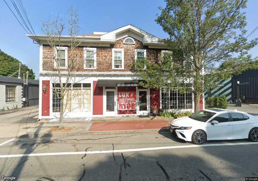
249 Main St Wakefield, RI 02879
Studio
--
Bath
3,354
Sq Ft
10,890
Sq Ft Lot
About This Home
This home is located at 249 Main St, Wakefield, RI 02879. 249 Main St is a home located in Washington County with nearby schools including South Kingstown High School, Monsignor Matthew Clarke Catholic Regional School, and Bradley School-South.
Ownership History
Date
Name
Owned For
Owner Type
Purchase Details
Closed on
Dec 11, 2018
Sold by
Kelleher Calaen N
Bought by
255 Main Llc
Home Financials for this Owner
Home Financials are based on the most recent Mortgage that was taken out on this home.
Original Mortgage
$150,000
Outstanding Balance
$131,113
Interest Rate
4.8%
Mortgage Type
New Conventional
Purchase Details
Closed on
Sep 19, 2011
Sold by
C Noah Davis Ft and Davis
Bought by
Davis C Noah
Purchase Details
Closed on
Dec 13, 2007
Sold by
Chapman Gary L
Bought by
Davis C Noah C and Davis Ella M
Create a Home Valuation Report for This Property
The Home Valuation Report is an in-depth analysis detailing your home's value as well as a comparison with similar homes in the area
Home Values in the Area
Average Home Value in this Area
Purchase History
| Date | Buyer | Sale Price | Title Company |
|---|---|---|---|
| 255 Main Llc | $550,000 | -- | |
| 255 Main Llc | $550,000 | -- | |
| Davis C Noah | -- | -- | |
| Davis C Noah | -- | -- | |
| Davis C Noah C | $430,000 | -- | |
| Davis C Noah C | $430,000 | -- |
Source: Public Records
Mortgage History
| Date | Status | Borrower | Loan Amount |
|---|---|---|---|
| Open | 255 Main Llc | $150,000 | |
| Closed | 255 Main Llc | $150,000 |
Source: Public Records
Tax History
| Year | Tax Paid | Tax Assessment Tax Assessment Total Assessment is a certain percentage of the fair market value that is determined by local assessors to be the total taxable value of land and additions on the property. | Land | Improvement |
|---|---|---|---|---|
| 2025 | $4,914 | $549,700 | $252,600 | $297,100 |
| 2024 | $5,312 | $480,700 | $210,600 | $270,100 |
| 2023 | $5,312 | $480,700 | $210,600 | $270,100 |
| 2022 | $5,264 | $480,700 | $210,600 | $270,100 |
| 2021 | $6,085 | $421,100 | $189,100 | $232,000 |
| 2020 | $6,085 | $421,100 | $189,100 | $232,000 |
| 2019 | $6,085 | $421,100 | $189,100 | $232,000 |
| 2018 | $5,960 | $380,100 | $168,500 | $211,600 |
| 2017 | $5,819 | $380,100 | $168,500 | $211,600 |
| 2016 | $5,736 | $380,100 | $168,500 | $211,600 |
| 2015 | $5,978 | $385,200 | $168,500 | $216,700 |
| 2014 | $5,963 | $385,200 | $168,500 | $216,700 |
Source: Public Records
Map
Nearby Homes
- 20 Cleveland St
- 131 Columbia St
- 39 Hazard Ave
- 45 Cherry Ln Unit C
- 35 Abbey Rd
- 48 Stone Bridge Dr
- 66 Christopher St
- 23 Rockland Dr
- 301 Church St Unit 103
- 35 Whittier Dr
- 37 Whittier Dr
- 15 Jessica Ln
- 100 Spartina Cove Way
- 39 Secluded Dr
- 57 Rocky Brook Way
- 260 Sweet Allen Farm Rd Unit 3
- 13 Prospect Ave
- 262 Wood Hill Rd
- 216 S Pier Rd
- 44 Vespia Ln
Your Personal Tour Guide
Ask me questions while you tour the home.