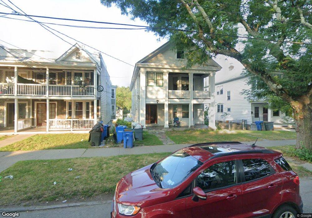
249 Manning Blvd Unit 2A Albany, NY 12206
Lower Washington Avenue NeighborhoodEstimated Value: $303,000 - $400,000
1
Bed
1
Bath
2,520
Sq Ft
$138/Sq Ft
Est. Value
About This Home
This home is located at 249 Manning Blvd Unit 2A, Albany, NY 12206 and is currently estimated at $346,672, approximately $137 per square foot. 249 Manning Blvd Unit 2A is a home located in Albany County with nearby schools including Pine Hills Elementary School, Stephen And Harriet Myers Middle School, and Albany High School.
Ownership History
Date
Name
Owned For
Owner Type
Purchase Details
Closed on
Dec 28, 2023
Sold by
Lodi Ali Wakil K
Bought by
Zonesburg Inc
Current Estimated Value
Purchase Details
Closed on
Dec 20, 2022
Sold by
Carknard Christopher R
Bought by
Lodi Ali Wakil K
Home Financials for this Owner
Home Financials are based on the most recent Mortgage that was taken out on this home.
Original Mortgage
$294,566
Interest Rate
6.31%
Mortgage Type
FHA
Purchase Details
Closed on
Oct 26, 2009
Sold by
Kelley Phyllis J
Bought by
Carknard Christopher R
Home Financials for this Owner
Home Financials are based on the most recent Mortgage that was taken out on this home.
Original Mortgage
$211,989
Interest Rate
5.06%
Create a Home Valuation Report for This Property
The Home Valuation Report is an in-depth analysis detailing your home's value as well as a comparison with similar homes in the area
Home Values in the Area
Average Home Value in this Area
Purchase History
| Date | Buyer | Sale Price | Title Company |
|---|---|---|---|
| Zonesburg Inc | -- | None Listed On Document | |
| Lodi Ali Wakil K | $300,000 | None Listed On Document | |
| Carknard Christopher R | $216,000 | None Available |
Source: Public Records
Mortgage History
| Date | Status | Borrower | Loan Amount |
|---|---|---|---|
| Previous Owner | Lodi Ali Wakil K | $294,566 | |
| Previous Owner | Carknard Christopher R | $211,989 |
Source: Public Records
Tax History Compared to Growth
Tax History
| Year | Tax Paid | Tax Assessment Tax Assessment Total Assessment is a certain percentage of the fair market value that is determined by local assessors to be the total taxable value of land and additions on the property. | Land | Improvement |
|---|---|---|---|---|
| 2024 | $7,604 | $295,000 | $59,000 | $236,000 |
| 2023 | $7,208 | $176,000 | $35,200 | $140,800 |
| 2022 | $7,053 | $176,000 | $35,200 | $140,800 |
| 2021 | $7,038 | $176,000 | $35,200 | $140,800 |
| 2020 | $6,678 | $176,000 | $35,200 | $140,800 |
| 2019 | $6,929 | $176,000 | $35,200 | $140,800 |
| 2018 | $6,694 | $176,000 | $35,200 | $140,800 |
| 2017 | $2,555 | $176,000 | $35,200 | $140,800 |
| 2016 | $5,867 | $176,000 | $35,200 | $140,800 |
| 2015 | $5,451 | $166,100 | $33,200 | $132,900 |
| 2014 | -- | $166,100 | $33,200 | $132,900 |
Source: Public Records
Map
Nearby Homes
- 278 Manning Blvd
- 137 N Pine Ave
- 15 Buchanan St
- 129 N Pine Ave
- 866 Washington Ave
- 160 Manning Blvd
- 34 Buchanan St
- 118 N Allen St
- 112 N Allen St
- 195 Kent St
- 21 Lincoln Ave
- 349 Manning Blvd
- 147 Homestead Ave
- 131 Homestead Ave
- 357 Manning Blvd
- 455 Bradford St
- 847 Jay St
- 3 Van Buren St
- 84 Winthrop Ave
- 1014 Washington Ave
- 249 Manning Blvd
- 247 Manning Blvd
- 253 Manning Blvd
- 245 Manning Blvd
- 253 Manning Blvd
- 255 Manning Blvd
- 243 Manning Blvd
- 241 Manning Blvd
- 241 Manning Blvd Unit 2
- 257 Manning Blvd
- 239 Manning Blvd
- 261 Manning Blvd
- 256 Manning Blvd
- 258 Manning Blvd
- 254 Manning Blvd
- 260 Manning Blvd
- 252 Manning Blvd
- 262 Manning Blvd
- 263 Manning Blvd
- 250 Manning Blvd