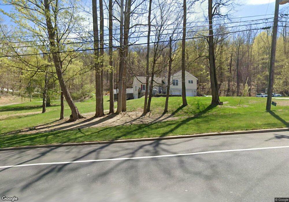
249 Munsonhurst Rd Franklin, NJ 07416
Estimated Value: $421,000 - $506,071
Studio
--
Bath
1,808
Sq Ft
$260/Sq Ft
Est. Value
About This Home
This home is located at 249 Munsonhurst Rd, Franklin, NJ 07416 and is currently estimated at $470,768, approximately $260 per square foot. 249 Munsonhurst Rd is a home located in Sussex County with nearby schools including Franklin Elementary School, Wallkill Valley Regional High School, and Immaculate Conception Regional School.
Create a Home Valuation Report for This Property
The Home Valuation Report is an in-depth analysis detailing your home's value as well as a comparison with similar homes in the area
Home Values in the Area
Average Home Value in this Area
Tax History
| Year | Tax Paid | Tax Assessment Tax Assessment Total Assessment is a certain percentage of the fair market value that is determined by local assessors to be the total taxable value of land and additions on the property. | Land | Improvement |
|---|---|---|---|---|
| 2025 | $11,834 | $475,900 | $122,100 | $353,800 |
| 2024 | $11,833 | $445,900 | $104,100 | $341,800 |
Source: Public Records
Map
Nearby Homes
- 7 Fox Hill Dr
- 270 Munsonhurst Rd
- 28 Beardslee Hill Dr
- 21 Spring St
- 21 Edison Ave
- 10 Passaic Ave
- 113 Munsonhurst Rd
- 111 Munsonhurst Rd
- 109 Munsonhurst Rd
- 11 Zimmer Dr
- 33 Glenbrook Rd
- 8 Plaskon Terrace
- 8 Lesko Terrace
- 16 Wildcat Rd
- 276 Wild Cat Rd
- 20 Roosevelt Dr
- 149 Maple Rd
- 172 Maple Rd
- 65 Buckwheat Rd
- 25 Graphic Blvd
- 240 Munsonhurst Rd
- 246 Munsonhurst Rd
- 252 Munsonhurst Rd
- 247 Munsonhurst Rd
- 253 Munsonhurst Rd
- 257 Munsonhurst Rd
- 259 Munsonhurst Rd
- 3 Fox Hill Dr
- 261 Munsonhurst Rd
- 220 Munsonhurst Rd
- 5 Fox Hill Dr
- 266 Munsonhurst Rd
- 1 Beardslee Hill Dr
- 265 Munsonhurst Rd
- 273 Munsonhurst Rd
- 9 Fox Hill Dr
- 3 Beardslee Hill Dr
- 272 Munsonhurst Rd
- 2 Beardslee Hill Dr
- 274 Munsonhurst Rd
Your Personal Tour Guide
Ask me questions while you tour the home.