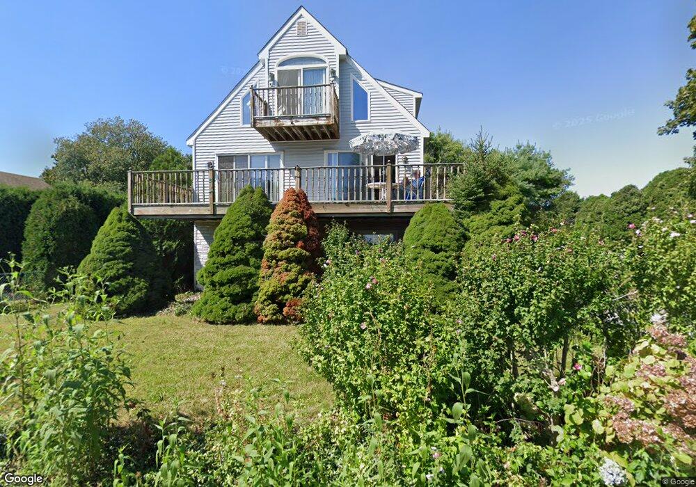
249 Old Kelsey Point Rd Westbrook, CT 06498
Estimated Value: $787,740 - $925,000
3
Beds
5
Baths
1,417
Sq Ft
$613/Sq Ft
Est. Value
About This Home
This home is located at 249 Old Kelsey Point Rd, Westbrook, CT 06498 and is currently estimated at $868,685, approximately $613 per square foot. 249 Old Kelsey Point Rd is a home located in Middlesex County with nearby schools including Daisy Ingraham School, Westbrook Middle School, and Westbrook High School.
Ownership History
Date
Name
Owned For
Owner Type
Purchase Details
Closed on
May 7, 2012
Sold by
Hamisevich Elizabeth
Bought by
Hamisevich Elizabeth
Current Estimated Value
Purchase Details
Closed on
Nov 15, 2010
Sold by
Hamisevich Alla
Bought by
Hamisevich Elizabeth
Purchase Details
Closed on
Jan 16, 1996
Sold by
Peoples Security Life
Bought by
Hamisevich Eugene and Hamisevich Alla
Create a Home Valuation Report for This Property
The Home Valuation Report is an in-depth analysis detailing your home's value as well as a comparison with similar homes in the area
Home Values in the Area
Average Home Value in this Area
Purchase History
| Date | Buyer | Sale Price | Title Company |
|---|---|---|---|
| Hamisevich Elizabeth | -- | -- | |
| Hamisevich Elizabeth | -- | -- | |
| Hamisevich Eugene | $227,900 | -- |
Source: Public Records
Mortgage History
| Date | Status | Borrower | Loan Amount |
|---|---|---|---|
| Previous Owner | Hamisevich Eugene | $67,500 | |
| Previous Owner | Hamisevich Eugene | $145,000 |
Source: Public Records
Tax History Compared to Growth
Tax History
| Year | Tax Paid | Tax Assessment Tax Assessment Total Assessment is a certain percentage of the fair market value that is determined by local assessors to be the total taxable value of land and additions on the property. | Land | Improvement |
|---|---|---|---|---|
| 2025 | $8,073 | $358,820 | $229,070 | $129,750 |
| 2024 | $7,786 | $358,820 | $229,070 | $129,750 |
| 2023 | $7,650 | $358,820 | $229,070 | $129,750 |
| 2022 | $7,449 | $358,820 | $229,070 | $129,750 |
| 2021 | $7,676 | $307,040 | $190,890 | $116,150 |
| 2020 | $7,676 | $307,040 | $190,890 | $116,150 |
| 2019 | $9,144 | $370,670 | $254,520 | $116,150 |
| 2018 | $9,033 | $370,670 | $254,520 | $116,150 |
| 2017 | $9,033 | $370,670 | $254,520 | $116,150 |
| 2016 | $9,614 | $415,460 | $294,110 | $121,350 |
| 2015 | $9,352 | $415,460 | $294,110 | $121,350 |
| 2014 | $9,053 | $415,460 | $294,110 | $121,350 |
Source: Public Records
Map
Nearby Homes
- 83 Sagamore Terrace E
- 19 Sagamore Terrace E
- 133 Sandy Point Rd Unit 133
- 143 Sandy Point Rd Unit 143
- 118 Sandy Point Rd
- 17 Woodsedge Ln
- 13 Green Acres Park Dr
- 254 Hidden Cove Rd
- 96 Chalker Beach Rd
- 14 Denmore Ln
- 1 Clark Ave
- 52 Chalker Beach Rd
- 174 Nehantic Trail
- 1469 Boston Post Rd Unit 19
- 26 Meadowood Ln
- 207 Salt Island Rd
- 140 Salt Island Rd
- 155 Fawn Hill Dr
- 12 Allendale Rd
- 78 Hartford Ave
- 261 Old Kelsey Point Rd
- 241 Old Kelsey Point Rd
- 255 Old Kelsey Point Rd
- 235 Old Kelsey Point Rd
- 248 Old Kelsey Point Rd
- 244 Old Kelsey Point Rd
- 271 Old Kelsey Point Rd
- 240 Old Kelsey Point Rd
- 254 Old Kelsey Point Rd
- 30 Sagamore Terrace Dr
- 234 Old Kelsey Point Rd
- 229 Old Kelsey Point Rd
- 262 Old Kelsey Point Rd
- 36 Sagamore Terrace Dr
- 228 Old Kelsey Point Rd
- 26 Sagamore Terrace Dr
- 277 Old Kelsey Point Rd
- 266 Old Kelsey Point Rd
- 219 Old Kelsey Point Rd
- 22 Sagamore Terrace Dr