249 Potter Rd Hudson, ME 04449
Estimated Value: $191,487 - $356,000
2
Beds
1
Bath
1
Sq Ft
$271,829/Sq Ft
Est. Value
About This Home
This home is located at 249 Potter Rd, Hudson, ME 04449 and is currently estimated at $271,829, approximately $271,829 per square foot. 249 Potter Rd is a home located in Penobscot County with nearby schools including Central Community Elementary School and Central High School.
Ownership History
Date
Name
Owned For
Owner Type
Purchase Details
Closed on
May 14, 2020
Sold by
Bean David W
Bought by
Bean David W and Mares Elizabeth H
Current Estimated Value
Home Financials for this Owner
Home Financials are based on the most recent Mortgage that was taken out on this home.
Original Mortgage
$78,000
Outstanding Balance
$69,119
Interest Rate
3.3%
Mortgage Type
Stand Alone Refi Refinance Of Original Loan
Estimated Equity
$202,710
Purchase Details
Closed on
Jun 15, 2007
Sold by
Beneficial Maine Inc
Bought by
Liebich Trent A and Mueller Katrina B
Home Financials for this Owner
Home Financials are based on the most recent Mortgage that was taken out on this home.
Original Mortgage
$76,600
Interest Rate
6.19%
Mortgage Type
Purchase Money Mortgage
Create a Home Valuation Report for This Property
The Home Valuation Report is an in-depth analysis detailing your home's value as well as a comparison with similar homes in the area
Purchase History
| Date | Buyer | Sale Price | Title Company |
|---|---|---|---|
| Bean David W | -- | None Available | |
| Bean David W | -- | None Available | |
| Liebich Trent A | -- | -- | |
| Liebich Trent A | -- | -- |
Source: Public Records
Mortgage History
| Date | Status | Borrower | Loan Amount |
|---|---|---|---|
| Open | Bean David W | $78,000 | |
| Closed | Bean David W | $78,000 | |
| Previous Owner | Liebich Trent A | $99,657 | |
| Previous Owner | Liebich Trent A | $76,600 |
Source: Public Records
Tax History
| Year | Tax Paid | Tax Assessment Tax Assessment Total Assessment is a certain percentage of the fair market value that is determined by local assessors to be the total taxable value of land and additions on the property. | Land | Improvement |
|---|---|---|---|---|
| 2024 | $1,854 | $114,100 | $23,900 | $90,200 |
| 2023 | $1,740 | $114,100 | $23,900 | $90,200 |
| 2022 | $1,654 | $114,100 | $23,900 | $90,200 |
| 2021 | $1,654 | $114,100 | $23,900 | $90,200 |
| 2019 | $1,654 | $114,100 | $23,900 | $90,200 |
| 2018 | $1,632 | $114,100 | $23,900 | $90,200 |
| 2017 | $1,586 | $114,100 | $23,900 | $90,200 |
| 2016 | $1,530 | $114,150 | $23,950 | $90,200 |
| 2015 | $1,460 | $113,150 | $22,950 | $90,200 |
| 2014 | $1,369 | $113,150 | $22,950 | $90,200 |
| 2013 | $1,284 | $113,150 | $22,950 | $90,200 |
Source: Public Records
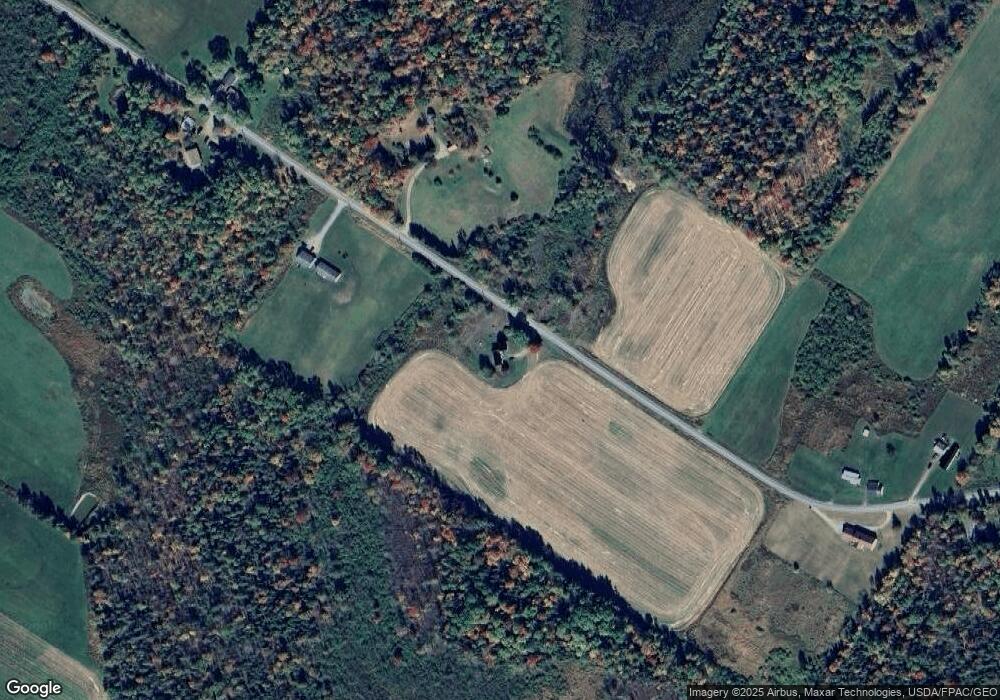
Map
Nearby Homes
- 34 Center St
- 32 Center St
- 67 Stacey Ln
- 398 Hudson Hill Rd
- 467 Hudson Hill Rd
- 748 Grant Rd
- 1156 Main St
- 2016 Hudson Rd
- 263 Mudgett Rd
- 19 Marston Meadow Rd
- 9 Jipson Ln
- 503 Stetson Rd
- Lot 24-07 Tate Rd
- Lot #7 Kenduskeag Levant Rd
- 14 Pushaw Woods Ln
- 510 Kenduskeag Levant Rd
- 7 Ellingwood Dr
- 465 Grant Rd
- 70 Clark Rd
- 61 Sparkle Pond Rd
- 246 Potter Rd
- 258 Potter Rd
- 232 Potter Rd
- 225 Potter Rd
- 224 Potter Rd
- 220 Potter Rd
- 4 Maefield Ln
- 0 Lot#3-6 Mae Field
- 14 Maefield Ln
- 0 Old County Rd
- Lot 7 County Rd
- 000 County Rd
- 38 Maefield Ln
- 23 Maefield Ln
- 202 Old County Rd
- TBD Potter Rd
- 1675 Old County Rd
- 0 Old County Rd Unit 489291
- 0 Old County Rd Unit 1373632
- 236 County Rd
Your Personal Tour Guide
Ask me questions while you tour the home.