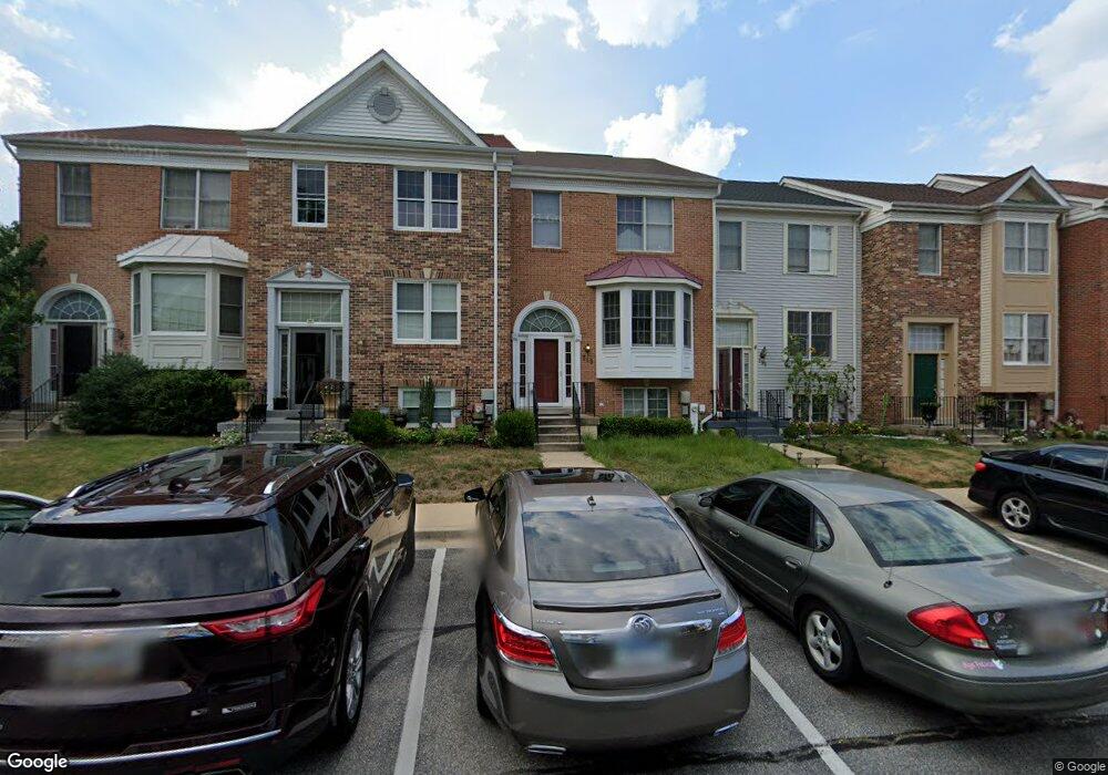
249 Saint Michaels Cir Unit 60 Odenton, MD 21113
Estimated Value: $433,441 - $443,000
3
Beds
4
Baths
1,534
Sq Ft
$286/Sq Ft
Est. Value
About This Home
This home is located at 249 Saint Michaels Cir Unit 60, Odenton, MD 21113 and is currently estimated at $438,860, approximately $286 per square foot. 249 Saint Michaels Cir Unit 60 is a home located in Anne Arundel County with nearby schools including Seven Oaks Elementary School, MacArthur Middle School, and Meade High School.
Ownership History
Date
Name
Owned For
Owner Type
Purchase Details
Closed on
Nov 4, 2004
Sold by
Janssen Anessi Lorri A
Bought by
Yates Thomas W
Current Estimated Value
Purchase Details
Closed on
Sep 30, 2004
Sold by
Janssen Anessi Lorri A
Bought by
Yates Thomas W
Purchase Details
Closed on
Apr 14, 2004
Sold by
Geesaman Deborah L
Bought by
Anessi Blair A
Purchase Details
Closed on
Apr 5, 1999
Sold by
Anderson Deborah L
Bought by
Geesaman Deborah L
Create a Home Valuation Report for This Property
The Home Valuation Report is an in-depth analysis detailing your home's value as well as a comparison with similar homes in the area
Home Values in the Area
Average Home Value in this Area
Purchase History
| Date | Buyer | Sale Price | Title Company |
|---|---|---|---|
| Yates Thomas W | $280,000 | -- | |
| Yates Thomas W | $280,000 | -- | |
| Anessi Blair A | $236,000 | -- | |
| Geesaman Deborah L | -- | -- |
Source: Public Records
Mortgage History
| Date | Status | Borrower | Loan Amount |
|---|---|---|---|
| Closed | Yates Thomas W | -- |
Source: Public Records
Tax History Compared to Growth
Tax History
| Year | Tax Paid | Tax Assessment Tax Assessment Total Assessment is a certain percentage of the fair market value that is determined by local assessors to be the total taxable value of land and additions on the property. | Land | Improvement |
|---|---|---|---|---|
| 2025 | $4,231 | $364,800 | $150,000 | $214,800 |
| 2024 | $4,231 | $345,900 | $0 | $0 |
| 2023 | $3,988 | $327,000 | $0 | $0 |
| 2022 | $3,220 | $308,100 | $130,000 | $178,100 |
| 2021 | $7,104 | $303,833 | $0 | $0 |
| 2020 | $3,467 | $299,567 | $0 | $0 |
| 2019 | $6,656 | $295,300 | $115,000 | $180,300 |
| 2018 | $2,887 | $284,667 | $0 | $0 |
| 2017 | $3,037 | $274,033 | $0 | $0 |
| 2016 | -- | $263,400 | $0 | $0 |
| 2015 | -- | $262,900 | $0 | $0 |
| 2014 | -- | $262,400 | $0 | $0 |
Source: Public Records
Map
Nearby Homes
- 116 Langdon Farm Cir
- 146 Langdon Farm Cir
- 2240 Canteen Cir
- 2008 Bunker Hill Ct
- 2104 Commissary Cir
- 2242 Commissary Cir
- 330 Timberbrook Ct
- 322 Timberbrook Ct
- 2110 Commodore Ct
- 2139 Commissary Cir
- 106 Pinecove Ave
- 319-F Eagles Landing Ct Unit 319F
- 178 Pinecove Ave
- 224 Arcadia Shores Cir
- 313 3 Sirens Ct
- 302 Assembly Point Ct
- 1520 Annapolis Rd
- 1454 Berger St
- 156 Goldsborough Dr
- 1822 Dove Ct
- 249 Saint Michaels Cir
- 247 Saint Michaels Cir
- 253 Saint Michaels Cir
- 245 Saint Michaels Cir
- 255 Saint Michaels Cir
- 257 Saint Michaels Cir
- 233 Saint Michaels Cir
- 259 Saint Michaels Cir Unit 65
- 259 Saint Michaels Cir
- 289 Saint Michaels Cir
- 231 Saint Michaels Cir
- 287 Saint Michaels Cir
- 285 Saint Michaels Cir
- 229 Saint Michaels Cir
- 283 Saint Michaels Cir
- 283 Saint Michaels Cir Unit 67
- 281 Saint Michaels Cir
- 281 Saint Michaels Cir Unit 66
- 227 Saint Michaels Cir
- 227 Saint Michaels Cir Unit 54