249 Scott Rd Lagrange, GA 30241
Estimated Value: $177,000 - $245,000
2
Beds
1
Bath
1,540
Sq Ft
$133/Sq Ft
Est. Value
About This Home
This home is located at 249 Scott Rd, Lagrange, GA 30241 and is currently estimated at $205,333, approximately $133 per square foot. 249 Scott Rd is a home located in Troup County with nearby schools including Rosemont Elementary School, Whitesville Road Elementary School, and Berta Weathersbee Elementary School.
Ownership History
Date
Name
Owned For
Owner Type
Purchase Details
Closed on
Jun 7, 2016
Sold by
Micahel James
Bought by
Thompson Roger
Current Estimated Value
Purchase Details
Closed on
Aug 22, 2000
Sold by
James Michael Bryant
Bought by
Bryant James Micahel
Purchase Details
Closed on
Jul 26, 1996
Sold by
Earl Bryant
Bought by
James Michael Bryant
Purchase Details
Closed on
Jul 25, 1996
Sold by
David Deaton
Bought by
Earl Bryant
Purchase Details
Closed on
Jun 29, 1982
Sold by
Roy L Davis
Bought by
David Deaton
Purchase Details
Closed on
May 10, 1975
Sold by
Ronald Kenerly ?
Bought by
Roy L Davis
Purchase Details
Closed on
Jan 1, 1962
Sold by
R E and Lessie Kenerley
Bought by
Ronald Kenerly ?
Create a Home Valuation Report for This Property
The Home Valuation Report is an in-depth analysis detailing your home's value as well as a comparison with similar homes in the area
Purchase History
| Date | Buyer | Sale Price | Title Company |
|---|---|---|---|
| Thompson Roger | $11,201 | -- | |
| Bryant James Micahel | -- | -- | |
| James Michael Bryant | -- | -- | |
| Earl Bryant | -- | -- | |
| David Deaton | -- | -- | |
| Roy L Davis | $22,000 | -- | |
| Ronald Kenerly ? | -- | -- |
Source: Public Records
Tax History
| Year | Tax Paid | Tax Assessment Tax Assessment Total Assessment is a certain percentage of the fair market value that is determined by local assessors to be the total taxable value of land and additions on the property. | Land | Improvement |
|---|---|---|---|---|
| 2025 | $615 | $22,540 | $5,000 | $17,540 |
| 2024 | $525 | $19,260 | $5,000 | $14,260 |
| 2023 | $449 | $16,460 | $5,000 | $11,460 |
| 2022 | $439 | $15,740 | $5,000 | $10,740 |
| 2021 | $523 | $17,344 | $5,080 | $12,264 |
| 2020 | $523 | $17,344 | $5,080 | $12,264 |
| 2019 | $475 | $15,744 | $3,600 | $12,144 |
| 2018 | $442 | $14,652 | $3,600 | $11,052 |
| 2017 | $135 | $14,652 | $3,600 | $11,052 |
| 2016 | $385 | $14,745 | $3,600 | $11,145 |
| 2015 | $386 | $14,745 | $3,600 | $11,145 |
| 2014 | $369 | $14,158 | $3,600 | $10,558 |
| 2013 | -- | $14,870 | $3,600 | $11,270 |
Source: Public Records
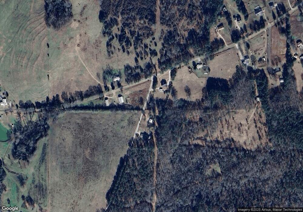
Map
Nearby Homes
- 11.59+/- AC Hunt Rd
- 246 S Smith Rd
- 113 Glenn Eagle Point
- 3913 Whitesville Rd
- 1820 Salem Rd
- 137 Robertson Rd
- 130 Hamilton Lake Dr
- 0 Salem Lot 3 Rd Unit LOT 3
- 0 Salem Lot 1 Rd Unit LOT 1
- 1605 Bartley Rd
- 2851 & 2891 Hamilton Rd
- 0 Robert Hodnett Rd Unit 10709308
- 0 Whitesville Rd Unit 10496838
- 0 Briley Rd Unit 10582531
- 0 Briley Rd Unit 214353
- 15.01 +/- AC White Rd
- 12.35 +/- AC White Rd
- 950 John Lovelace Rd
- 209 Grace Ct
- 830 John Lovelace Rd
Your Personal Tour Guide
Ask me questions while you tour the home.