249 Seal Rock Ln Friday Harbor, WA 98250
Estimated Value: $2,890,887
--
Bed
--
Bath
158
Sq Ft
$18,297/Sq Ft
Est. Value
About This Home
This home is located at 249 Seal Rock Ln, Friday Harbor, WA 98250 and is currently estimated at $2,890,887, approximately $18,296 per square foot. 249 Seal Rock Ln is a home with nearby schools including Friday Harbor Elementary School, Friday Harbor Middle School, and Friday Harbor High School.
Ownership History
Date
Name
Owned For
Owner Type
Purchase Details
Closed on
Mar 10, 2020
Sold by
Mcnell Karen and Graham Smith W
Bought by
Smith W Graham
Current Estimated Value
Purchase Details
Closed on
Dec 20, 2012
Sold by
Edward Dean Company
Bought by
Lill Greg and Lill Stacy
Home Financials for this Owner
Home Financials are based on the most recent Mortgage that was taken out on this home.
Original Mortgage
$1,487,576
Interest Rate
3.27%
Mortgage Type
Seller Take Back
Create a Home Valuation Report for This Property
The Home Valuation Report is an in-depth analysis detailing your home's value as well as a comparison with similar homes in the area
Home Values in the Area
Average Home Value in this Area
Purchase History
| Date | Buyer | Sale Price | Title Company |
|---|---|---|---|
| Smith W Graham | -- | Chicago Title Co Of Wa | |
| Smith W Graham | $1,905,000 | Chicago Title Coo Of Wa | |
| Lill Greg | $1,854,332 | Chicago Title |
Source: Public Records
Mortgage History
| Date | Status | Borrower | Loan Amount |
|---|---|---|---|
| Previous Owner | Lill Greg | $1,487,576 |
Source: Public Records
Tax History Compared to Growth
Tax History
| Year | Tax Paid | Tax Assessment Tax Assessment Total Assessment is a certain percentage of the fair market value that is determined by local assessors to be the total taxable value of land and additions on the property. | Land | Improvement |
|---|---|---|---|---|
| 2024 | $8,941 | $1,574,370 | $1,574,370 | -- |
| 2023 | $8,941 | $1,574,370 | $1,574,370 | $0 |
| 2022 | $6,419 | $1,167,800 | $1,124,550 | $43,250 |
| 2021 | $5,052 | $870,070 | $833,000 | $37,070 |
| 2020 | $4,977 | $690,540 | $578,450 | $112,090 |
| 2019 | $4,526 | $665,100 | $578,450 | $86,650 |
| 2018 | $4,902 | $605,880 | $605,880 | $0 |
| 2017 | $4,833 | $602,730 | $578,450 | $24,280 |
| 2016 | $4,677 | $628,950 | $608,890 | $20,060 |
| 2015 | $4,677 | $488,850 | $468,380 | $20,470 |
| 2014 | $4,677 | $468,380 | $468,380 | $0 |
| 2012 | $4,677 | $468,380 | $468,380 | $0 |
Source: Public Records
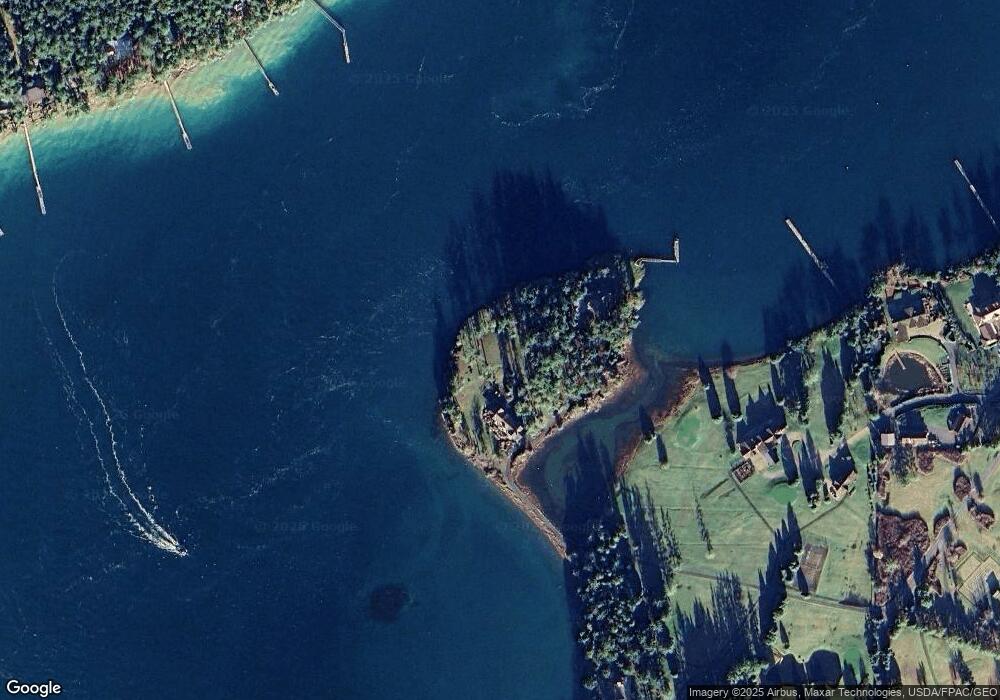
Map
Nearby Homes
- 16 Driftwood Dr
- 98 Armadale Rd Unit 209
- 98 Armadale Rd Unit 215
- 258 Armadale Rd Unit 1
- 457 White Point Rd
- 101 Ada's Alley
- 30 Smugglers Rowe
- 1555 Yacht Haven Rd
- 98 Bufflehead Ln
- 309 Afterglow Dr
- 1062 Yacht Haven Rd
- 295 Westcott Dr
- 120 De Haro Ln
- 92 Westcott Dr
- 73 Dogwood Ln
- 227 De Haro Ln
- 375 De Haro Ln
- 0 Afterglow Dr Unit NWM1912159
- 327 Twin Oaks Dr
- 449 Madrona Dr
- 235 Seal Rock Ln
- 296 Seal Rock Ln
- 114 Saltwater Ln
- 63 Seal Rock Ln
- 37 Driftwood Ln
- 42 Saltwater Ln
- 45 Driftwood Ln
- 28 Saltwater Ln
- 1829 White Point Rd
- 1920 White Point Rd
- 1577 White Point Rd
- 1871 White Point Rd
- 1576 White Point Rd
- 1923 White Point Rd
- 1733 White Point Rd
- 1713 White Point Rd
- 1945 White Point Rd
- 2046 White Point Rd
- 912 Armadale Rd
- 172 Mosquito Pass Ln