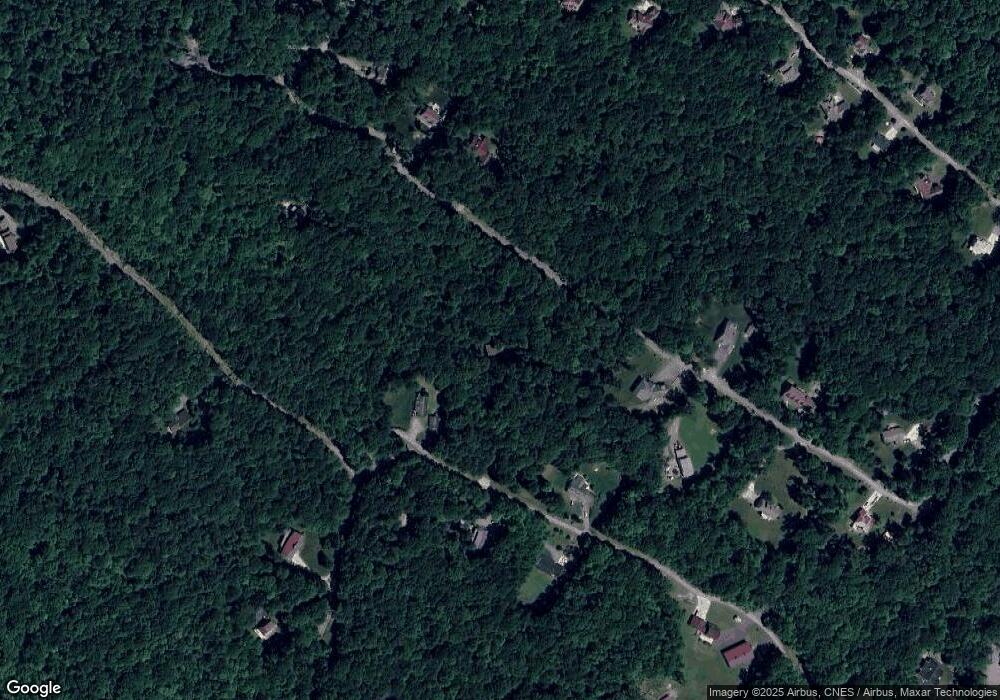
249 Sumac Cir Morgantown, WV 26508
Estimated Value: $380,000 - $498,000
3
Beds
3
Baths
2,024
Sq Ft
$218/Sq Ft
Est. Value
About This Home
This home is located at 249 Sumac Cir, Morgantown, WV 26508 and is currently estimated at $441,597, approximately $218 per square foot. 249 Sumac Cir is a home located in Monongalia County with nearby schools including Cheat Lake Elementary School, Mountaineer Middle School, and University High School.
Ownership History
Date
Name
Owned For
Owner Type
Purchase Details
Closed on
Mar 3, 2016
Sold by
Lester Timothy J
Bought by
Baker Christopher and Diffenbach Kristen
Current Estimated Value
Home Financials for this Owner
Home Financials are based on the most recent Mortgage that was taken out on this home.
Original Mortgage
$308,000
Outstanding Balance
$243,700
Interest Rate
3.64%
Estimated Equity
$197,897
Purchase Details
Closed on
Aug 3, 2006
Sold by
Ice Amber L
Bought by
Baker Christopher and Dieffenbach Kristen
Create a Home Valuation Report for This Property
The Home Valuation Report is an in-depth analysis detailing your home's value as well as a comparison with similar homes in the area
Home Values in the Area
Average Home Value in this Area
Purchase History
| Date | Buyer | Sale Price | Title Company |
|---|---|---|---|
| Baker Christopher | -- | -- | |
| Baker Christopher | $40,500 | None Available |
Source: Public Records
Mortgage History
| Date | Status | Borrower | Loan Amount |
|---|---|---|---|
| Open | Baker Christopher | $308,000 | |
| Closed | Baker Christopher | -- |
Source: Public Records
Tax History Compared to Growth
Tax History
| Year | Tax Paid | Tax Assessment Tax Assessment Total Assessment is a certain percentage of the fair market value that is determined by local assessors to be the total taxable value of land and additions on the property. | Land | Improvement |
|---|---|---|---|---|
| 2024 | $1,647 | $146,340 | $27,360 | $118,980 |
| 2023 | $1,559 | $146,340 | $27,360 | $118,980 |
| 2022 | $1,478 | $144,180 | $27,300 | $116,880 |
| 2021 | $1,486 | $144,300 | $27,300 | $117,000 |
| 2020 | $1,372 | $132,600 | $18,780 | $113,820 |
| 2019 | $1,381 | $132,600 | $18,780 | $113,820 |
| 2018 | $1,386 | $132,600 | $18,780 | $113,820 |
| 2017 | $1,320 | $125,640 | $17,820 | $107,820 |
| 2016 | $1,319 | $124,800 | $16,980 | $107,820 |
| 2015 | $1,262 | $124,800 | $16,980 | $107,820 |
| 2014 | $1,080 | $112,020 | $15,540 | $96,480 |
Source: Public Records
Map
Nearby Homes
- 24 Dunn Cemetary Rd
- 0 Mayfield Rd
- 1432-1434 Mayfield Rd
- 00 Mayfield Rd
- 107 Nelson Dr
- Lot 2 Ed Dunn Rd
- 1426 Palace Dr
- 30 Laurelview Rd
- 107 Oak Hill Ln
- Lot 21 Snake Hill Rd
- 313 Salonika Dr
- 1 Greenway Ave
- 308 Salonika Dr
- 205 Marble Dr
- TBD Pounds Hollow Rd
- 62 Pinnacle Ln
- 102 June Ln
- 213 Greenview Dr
- 79 Tibbs Rd
- 317 March Ln
- 116 Blackberry Ln
- 241 Sumac Cir
- 106 Blackberry Ln Unit 25
- 129 Blackberry Ln
- 462 Raven Rock Dr
- 239 Sumac Cir
- 271 Sumac Cir
- 107 Blackberry Ln
- 270 Sumac Cir
- 515 Raven Rock Dr
- 441 Raven Rock Dr
- 278 Sumac Cir
- 232 Sumac Cir
- 237 Sumac Cir
- 507 Raven Rock Dr
- 63 Blackberry Ln
- 284 Sumac Cir
- 200 Sumac Cir
- 280 Sumac Cir
- 404 Raven Rock Dr
