249 Summit Dr Unit 2550 Big Canoe, GA 30143
Estimated Value: $709,182 - $785,000
4
Beds
4
Baths
1,818
Sq Ft
$413/Sq Ft
Est. Value
About This Home
This home is located at 249 Summit Dr Unit 2550, Big Canoe, GA 30143 and is currently estimated at $750,061, approximately $412 per square foot. 249 Summit Dr Unit 2550 is a home located in Pickens County with nearby schools including Tate Elementary School, Pickens County Middle School, and Pickens County High School.
Ownership History
Date
Name
Owned For
Owner Type
Purchase Details
Closed on
Feb 24, 2020
Sold by
Malissa L Jett Trust
Bought by
Jett David M and Jett Malissa L
Current Estimated Value
Purchase Details
Closed on
Jul 27, 2018
Sold by
Fleshman Robert L
Bought by
Jetton David W and Jetton Jennifer
Home Financials for this Owner
Home Financials are based on the most recent Mortgage that was taken out on this home.
Original Mortgage
$452,000
Interest Rate
4.5%
Mortgage Type
New Conventional
Purchase Details
Closed on
Oct 22, 2012
Sold by
Knowles Clyde W
Bought by
Fleshman Robert L
Purchase Details
Closed on
Jul 15, 2002
Sold by
Bartruff Wesley E
Bought by
Knowles Clyde W
Purchase Details
Closed on
Apr 28, 1995
Bought by
Bartruff Wesley E
Create a Home Valuation Report for This Property
The Home Valuation Report is an in-depth analysis detailing your home's value as well as a comparison with similar homes in the area
Home Values in the Area
Average Home Value in this Area
Purchase History
| Date | Buyer | Sale Price | Title Company |
|---|---|---|---|
| Jett David M | -- | -- | |
| Jetton David W | $565,000 | -- | |
| Fleshman Robert L | $465,000 | -- | |
| Knowles Clyde W | $54,300 | -- | |
| Bartruff Wesley E | $40,000 | -- |
Source: Public Records
Mortgage History
| Date | Status | Borrower | Loan Amount |
|---|---|---|---|
| Previous Owner | Jetton David W | $452,000 |
Source: Public Records
Tax History Compared to Growth
Tax History
| Year | Tax Paid | Tax Assessment Tax Assessment Total Assessment is a certain percentage of the fair market value that is determined by local assessors to be the total taxable value of land and additions on the property. | Land | Improvement |
|---|---|---|---|---|
| 2024 | $4,381 | $221,381 | $44,000 | $177,381 |
| 2023 | $4,502 | $221,381 | $44,000 | $177,381 |
| 2022 | $4,502 | $221,381 | $44,000 | $177,381 |
| 2021 | $4,824 | $221,381 | $44,000 | $177,381 |
| 2020 | $4,968 | $221,381 | $44,000 | $177,381 |
| 2019 | $5,083 | $221,381 | $44,000 | $177,381 |
| 2018 | $4,366 | $188,380 | $44,000 | $144,380 |
| 2017 | $4,437 | $188,380 | $44,000 | $144,380 |
| 2016 | $4,508 | $188,380 | $44,000 | $144,380 |
| 2015 | $4,403 | $188,380 | $44,000 | $144,380 |
| 2014 | $4,412 | $188,380 | $44,000 | $144,380 |
| 2013 | -- | $188,380 | $44,000 | $144,380 |
Source: Public Records
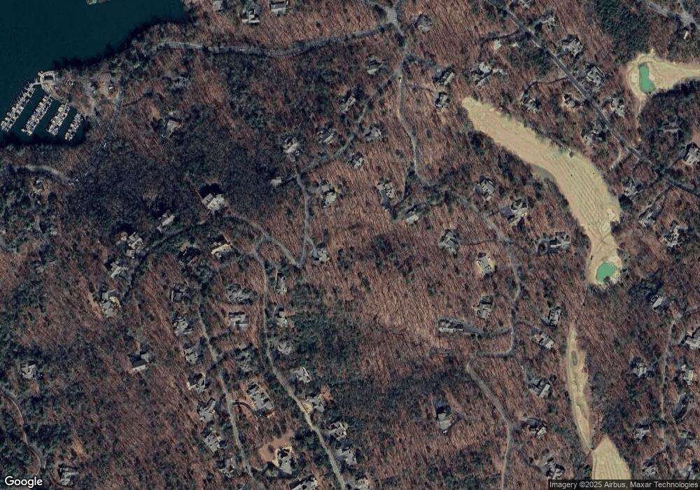
Map
Nearby Homes
- 2784 Summit Dr
- 6 Summit St
- 99 Summit Dr E
- 2538 Turnbury Ln
- 219 Wedgewood Dr
- 2569 Wilderness Pkwy
- 51 Indigo Bunting Trail
- 2107 McElroy Mountain Dr
- 861 Summit Dr E
- 490 Wedgewood Dr
- 475 Wedgewood Dr
- 2658 Sconti View Dr
- 255 Indigo Bunting Trail
- 996 Wedgewood Dr
- 16 Buckskull Knoll
- 35 Treetop Knoll Dr
- 54 Buckskull Brow
- 33 Cedar Summit
- 220 Yanegwa Knoll
- 249 Summit Dr
- 2023 Summit Dr
- 179 Summit Dr
- 2786 Summit Dr
- 2590 Summit Dr
- 86 Turnbury Ln
- 2525 Summit Dr
- 2550 Summit Dr
- 2551 Summit Dr
- 2554 Summit Dr
- 2556 Summit Dr
- 2557 Summit Dr
- 2558 Summit Dr
- 2561 Summit Dr
- 2562 Summit Dr
- 126 Turnbury Ln Unit 2545
- 2579 Summit Dr
- 309 Summit Dr E
- 2583 Summit Dr
- 2584 Summit Dr