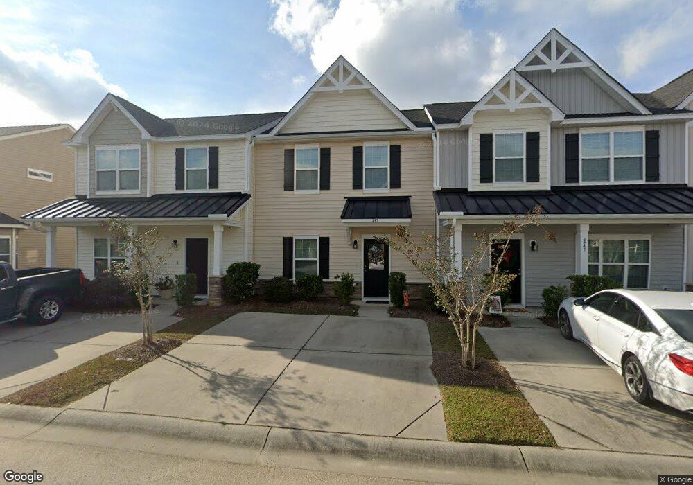
249 Swallowtail Ln Goose Creek, SC 29445
Estimated Value: $257,411 - $313,000
--
Bed
--
Bath
1,452
Sq Ft
$194/Sq Ft
Est. Value
About This Home
This home is located at 249 Swallowtail Ln, Goose Creek, SC 29445 and is currently estimated at $281,103, approximately $193 per square foot. 249 Swallowtail Ln is a home with nearby schools including Boulder Bluff Elementary School, Sedgefield Middle School, and Goose Creek High School.
Ownership History
Date
Name
Owned For
Owner Type
Purchase Details
Closed on
Apr 26, 2018
Sold by
Eastwood Construction Llc
Bought by
Fowler Kasie Dawn
Current Estimated Value
Home Financials for this Owner
Home Financials are based on the most recent Mortgage that was taken out on this home.
Original Mortgage
$151,970
Outstanding Balance
$131,889
Interest Rate
4.75%
Mortgage Type
FHA
Estimated Equity
$149,214
Purchase Details
Closed on
Aug 7, 2017
Sold by
Harris Land Holdings Llc
Bought by
Eastwood Construction Llc
Create a Home Valuation Report for This Property
The Home Valuation Report is an in-depth analysis detailing your home's value as well as a comparison with similar homes in the area
Home Values in the Area
Average Home Value in this Area
Purchase History
| Date | Buyer | Sale Price | Title Company |
|---|---|---|---|
| Fowler Kasie Dawn | $154,775 | None Available | |
| Eastwood Construction Llc | $126,000 | None Available |
Source: Public Records
Mortgage History
| Date | Status | Borrower | Loan Amount |
|---|---|---|---|
| Open | Fowler Kasie Dawn | $151,970 |
Source: Public Records
Tax History Compared to Growth
Tax History
| Year | Tax Paid | Tax Assessment Tax Assessment Total Assessment is a certain percentage of the fair market value that is determined by local assessors to be the total taxable value of land and additions on the property. | Land | Improvement |
|---|---|---|---|---|
| 2025 | $859 | $180,090 | $24,234 | $155,856 |
| 2024 | $859 | $7,203 | $969 | $6,234 |
| 2023 | $859 | $7,203 | $969 | $6,234 |
| 2022 | $857 | $6,264 | $1,120 | $5,144 |
| 2021 | $933 | $6,260 | $1,120 | $5,144 |
| 2020 | $886 | $6,264 | $1,120 | $5,144 |
| 2019 | $2,826 | $6,264 | $1,120 | $5,144 |
| 2018 | $70 | $108 | $108 | $0 |
| 2017 | $456 | $1,500 | $1,500 | $0 |
| 2016 | $456 | $1,500 | $1,500 | $0 |
| 2015 | $436 | $1,500 | $1,500 | $0 |
| 2014 | $405 | $1,500 | $1,500 | $0 |
| 2013 | -- | $1,500 | $1,500 | $0 |
Source: Public Records
Map
Nearby Homes
- Bristol Plan at The Landings at Montague
- Franklin Plan at The Landings at Montague
- Chatham Plan at The Landings at Montague
- 450 Duskywing Dr
- 448 Duskywing Dr
- 446 Duskywing Dr
- 444 Duskywing Dr
- 442 Duskywing Dr
- 438 Duskywing Dr
- 436 Duskywing Dr
- 434 Duskywing Dr
- 432 Duskywing Dr
- 430 Duskywing Dr
- 116 Kirkland St
- 428 Duskywing Dr
- 127 Kirkland St
- 424 Duskywing Dr
- 125 Kirkland St
- 123 Kirkland St
- 422 Duskywing Dr
- 247 Swallowtail Ln
- 251 Swallowtail Ln
- 245 Swallowtail Ln
- 255 Swallowtail Ln
- 257 Swallowtail Ln
- 250 Swallowtail Ln
- 252 Swallowtail Ln
- 248 Swallowtail Ln
- 508 Duskywing Dr
- 260 Swallowtail Ln
- 506 Duskywing Dr
- 259 Swallowtail Ln
- 504 Duskywing Dr
- 246 Swallowtail Ln
- 502 Duskywing Dr
- 510 Duskywing Dr
- 262 Swallow Tail Ln
- 500 Duskywing Dr
- 261 Swallowtail Ln
- 512 Duskywing Dr