249 Timothy Ct Fairplay, CO 80440
Estimated Value: $839,351 - $1,391,000
4
Beds
3
Baths
1,645
Sq Ft
$676/Sq Ft
Est. Value
About This Home
This home is located at 249 Timothy Ct, Fairplay, CO 80440 and is currently estimated at $1,112,838, approximately $676 per square foot. 249 Timothy Ct is a home with nearby schools including Edith Teter Elementary School, South Park Middle School, and South Park High School.
Ownership History
Date
Name
Owned For
Owner Type
Purchase Details
Closed on
Oct 9, 2009
Sold by
Stelling Michael A
Bought by
Green Catherine S and Green Trent W
Current Estimated Value
Home Financials for this Owner
Home Financials are based on the most recent Mortgage that was taken out on this home.
Original Mortgage
$380,800
Outstanding Balance
$249,670
Interest Rate
5.16%
Mortgage Type
New Conventional
Estimated Equity
$863,168
Purchase Details
Closed on
Jul 27, 2007
Sold by
Jacob Hurwitz Education Trust
Bought by
Stelling Michael A
Create a Home Valuation Report for This Property
The Home Valuation Report is an in-depth analysis detailing your home's value as well as a comparison with similar homes in the area
Home Values in the Area
Average Home Value in this Area
Purchase History
| Date | Buyer | Sale Price | Title Company |
|---|---|---|---|
| Green Catherine S | $476,000 | Security Title | |
| Stelling Michael A | $72,000 | Security Title |
Source: Public Records
Mortgage History
| Date | Status | Borrower | Loan Amount |
|---|---|---|---|
| Open | Green Catherine S | $380,800 |
Source: Public Records
Tax History Compared to Growth
Tax History
| Year | Tax Paid | Tax Assessment Tax Assessment Total Assessment is a certain percentage of the fair market value that is determined by local assessors to be the total taxable value of land and additions on the property. | Land | Improvement |
|---|---|---|---|---|
| 2024 | $3,496 | $57,510 | $9,490 | $48,020 |
| 2023 | $3,496 | $57,510 | $9,490 | $48,020 |
| 2022 | $2,225 | $34,762 | $3,570 | $31,192 |
| 2021 | $2,175 | $35,760 | $3,670 | $32,090 |
| 2020 | $1,786 | $28,440 | $3,090 | $25,350 |
| 2019 | $1,729 | $28,440 | $3,090 | $25,350 |
| 2018 | $1,604 | $28,440 | $3,090 | $25,350 |
| 2017 | $1,446 | $25,830 | $3,000 | $22,830 |
| 2016 | $1,469 | $27,100 | $3,350 | $23,750 |
| 2015 | $1,498 | $27,100 | $3,350 | $23,750 |
| 2014 | $1,448 | $0 | $0 | $0 |
Source: Public Records
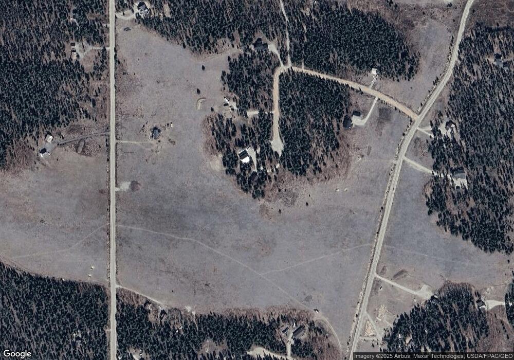
Map
Nearby Homes
- 416 Foxtail Dr
- 364 Foxtail Dr
- 622 Foxtail Dr
- 1031 Bluestem Way
- 1957 Coil Dr Unit 118
- 1957 Coil Dr
- 1954 Bluestem Way
- 0 Thurber Ct Unit REC9916556
- 1110 Circle 73
- 16 Thurber Ct
- 103 Foxtail Ct
- 133 Foxtail Ct
- 1224 Circle 73
- 0 Foxtail Ct Unit REC1607939
- 211 Foxtail Ct
- 0 Coil Dr Unit 40 REC2912411
- 1430 Coil Dr
- 2567 Coil Dr
- 237 Foxtail Ct
- 2649 Coil Dr
- 233 Timothy Ct
- 000 Timothy Ct
- 888 Bluestem Way
- 0 Foxtail Lot 160 Dr
- 147 Timothy Ct
- 0 (Lot #160) Foxtail Dr
- 0 Timothy Ct Unit 2473095
- 43 Clover Ct
- 35 Timothy Ct
- 1088 Bluestem Way
- 100 Glover Ct
- 135 Timothy Ct
- 764 Bluestem Way
- 416 Foxtail Ln
- 364 Foxtail Ln
- 931 Bluestem Way
- 1050 Bluestem Way
- 0 Foxtail Dr Unit 6266482
- 1133 Bluestem Way
- 767 Bluestem Way