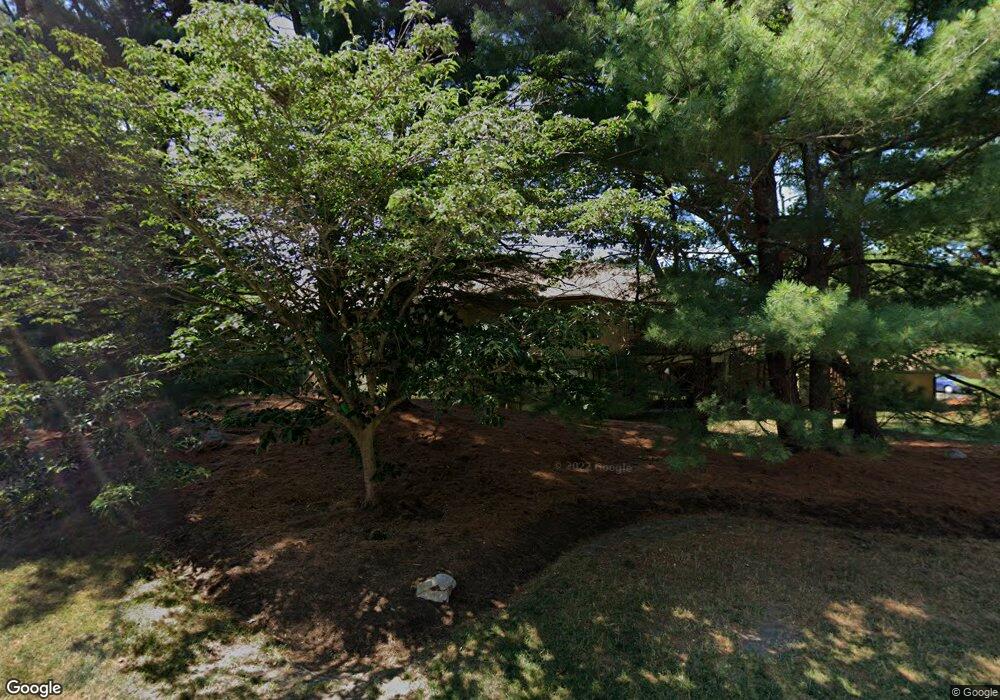
249 Trailside Way Ashland, MA 01721
Estimated Value: $437,719 - $482,000
2
Beds
2
Baths
1,188
Sq Ft
$393/Sq Ft
Est. Value
About This Home
This home is located at 249 Trailside Way, Ashland, MA 01721 and is currently estimated at $467,180, approximately $393 per square foot. 249 Trailside Way is a home located in Middlesex County with nearby schools including William Pittaway Elementary School, Henry E. Warren Elementary School, and David Mindess Elementary School.
Ownership History
Date
Name
Owned For
Owner Type
Purchase Details
Closed on
Jun 25, 2003
Sold by
Moraghan Evelyn
Bought by
Walunas Kathryn M
Current Estimated Value
Home Financials for this Owner
Home Financials are based on the most recent Mortgage that was taken out on this home.
Original Mortgage
$182,320
Outstanding Balance
$78,415
Interest Rate
5.53%
Mortgage Type
Purchase Money Mortgage
Estimated Equity
$388,765
Purchase Details
Closed on
Oct 1, 1998
Sold by
Edith M Webster Ret and Webster Edith M
Bought by
Moraghan Evelyn
Home Financials for this Owner
Home Financials are based on the most recent Mortgage that was taken out on this home.
Original Mortgage
$105,600
Interest Rate
6.89%
Mortgage Type
Purchase Money Mortgage
Purchase Details
Closed on
Jun 2, 1993
Sold by
Larson Phyllis M
Bought by
Gordon G Webster T and Webster Edith M
Create a Home Valuation Report for This Property
The Home Valuation Report is an in-depth analysis detailing your home's value as well as a comparison with similar homes in the area
Home Values in the Area
Average Home Value in this Area
Purchase History
| Date | Buyer | Sale Price | Title Company |
|---|---|---|---|
| Walunas Kathryn M | $227,900 | -- | |
| Moraghan Evelyn | $132,000 | -- | |
| Gordon G Webster T | $100,000 | -- |
Source: Public Records
Mortgage History
| Date | Status | Borrower | Loan Amount |
|---|---|---|---|
| Open | Walunas Kathryn M | $182,320 | |
| Previous Owner | Gordon G Webster T | $105,600 |
Source: Public Records
Tax History Compared to Growth
Tax History
| Year | Tax Paid | Tax Assessment Tax Assessment Total Assessment is a certain percentage of the fair market value that is determined by local assessors to be the total taxable value of land and additions on the property. | Land | Improvement |
|---|---|---|---|---|
| 2025 | $4,946 | $387,300 | $0 | $387,300 |
| 2024 | $4,751 | $358,800 | $0 | $358,800 |
| 2023 | $4,724 | $343,100 | $0 | $343,100 |
| 2022 | $4,621 | $291,000 | $0 | $291,000 |
| 2021 | $4,447 | $279,188 | $0 | $279,188 |
| 2020 | $4,206 | $260,300 | $0 | $260,300 |
| 2019 | $3,852 | $236,600 | $0 | $236,600 |
| 2018 | $3,774 | $227,200 | $0 | $227,200 |
| 2017 | $3,596 | $215,300 | $0 | $215,300 |
| 2016 | $3,539 | $208,200 | $0 | $208,200 |
| 2015 | $3,397 | $196,378 | $0 | $196,378 |
| 2014 | $3,292 | $189,300 | $0 | $189,300 |
Source: Public Records
Map
Nearby Homes
- 306 Trailside Way
- 67 Spyglass Hill Dr
- 63 Trailside Way Unit 63
- 84 E Bluff Rd
- 157 Leland Farm Rd
- 74 Meeting House Path
- 72 Meeting House Path
- 97 Meeting House Path Unit 97
- 277 Meeting House Path
- 2 Adams Rd Unit 2
- 147 Turner Rd Unit 80
- 1 Adams Rd
- 9 Adams Rd
- 152 Turner Rd Unit 43
- 152 Turner Rd Unit 14
- 59 Turner Rd
- 151 Mohawk Path
- 45 Half Crown Cir
- 102 Captain Eames Cir
- 95 Brooksmont Dr Unit 26
- 255 Trailside Way
- 251 Trailside Way
- 241 Trailside Way
- 245 Trailside Way
- 247 Trailside Way
- 253 Trailside Way
- 235 Trailside Way
- 231 Trailside Way
- 227 Trailside Way
- 225 Trailside Way
- 229 Trailside Way
- 233 Trailside Way
- 237 Trailside Way
- 229 Trailside Way Unit 229
- 227 Trailside Way Unit 227
- 225 Trailside Way Unit 225
- 231 Trailside Way Unit 231
- 235 Trailside Way Unit 235
- 235 Trailside Way Unit B
- 177 Trailside Way