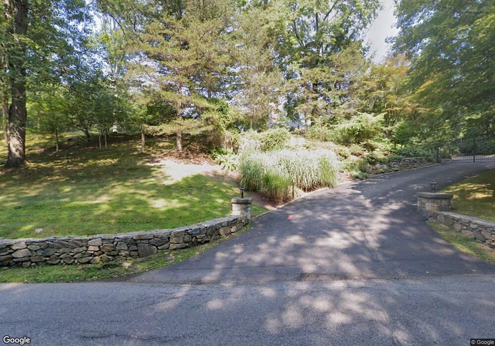
249 Upper Shad Rd Pound Ridge, NY 10576
Estimated Value: $1,330,288 - $1,609,000
4
Beds
4
Baths
3,400
Sq Ft
$441/Sq Ft
Est. Value
About This Home
This home is located at 249 Upper Shad Rd, Pound Ridge, NY 10576 and is currently estimated at $1,501,072, approximately $441 per square foot. 249 Upper Shad Rd is a home located in Westchester County with nearby schools including Pound Ridge Elementary School, Fox Lane Middle School, and Fox Lane High School.
Ownership History
Date
Name
Owned For
Owner Type
Purchase Details
Closed on
Jun 27, 2011
Sold by
Ruckh Robert C and Ruckh Shari F W
Bought by
Giattino Frank and Giattino Patricia
Current Estimated Value
Home Financials for this Owner
Home Financials are based on the most recent Mortgage that was taken out on this home.
Original Mortgage
$596,750
Outstanding Balance
$405,865
Interest Rate
4.27%
Mortgage Type
New Conventional
Estimated Equity
$1,095,207
Purchase Details
Closed on
Feb 24, 2007
Sold by
Ruckh Robert C
Bought by
Ruckh Robert C and Ruckh Shari F W
Purchase Details
Closed on
Jun 14, 2001
Sold by
Gukeisen Robert
Bought by
Ruckh Robert C
Home Financials for this Owner
Home Financials are based on the most recent Mortgage that was taken out on this home.
Original Mortgage
$696,000
Interest Rate
7.37%
Mortgage Type
Purchase Money Mortgage
Create a Home Valuation Report for This Property
The Home Valuation Report is an in-depth analysis detailing your home's value as well as a comparison with similar homes in the area
Home Values in the Area
Average Home Value in this Area
Purchase History
| Date | Buyer | Sale Price | Title Company |
|---|---|---|---|
| Giattino Frank | $852,500 | Future Title Company Inc | |
| Ruckh Robert C | -- | None Available | |
| Ruckh Robert C | $870,000 | -- |
Source: Public Records
Mortgage History
| Date | Status | Borrower | Loan Amount |
|---|---|---|---|
| Open | Giattino Frank | $596,750 | |
| Previous Owner | Ruckh Robert C | $696,000 |
Source: Public Records
Tax History Compared to Growth
Tax History
| Year | Tax Paid | Tax Assessment Tax Assessment Total Assessment is a certain percentage of the fair market value that is determined by local assessors to be the total taxable value of land and additions on the property. | Land | Improvement |
|---|---|---|---|---|
| 2024 | $18,799 | $147,000 | $35,000 | $112,000 |
| 2023 | $17,977 | $147,000 | $35,000 | $112,000 |
| 2022 | $16,883 | $147,000 | $35,000 | $112,000 |
| 2021 | $16,654 | $147,000 | $35,000 | $112,000 |
| 2020 | $16,831 | $147,000 | $35,000 | $112,000 |
| 2019 | $16,842 | $147,000 | $35,000 | $112,000 |
| 2018 | $10,919 | $147,000 | $35,000 | $112,000 |
| 2017 | $0 | $147,000 | $35,000 | $112,000 |
| 2016 | $15,812 | $147,000 | $35,000 | $112,000 |
| 2015 | -- | $147,000 | $35,000 | $112,000 |
| 2014 | -- | $147,000 | $35,000 | $112,000 |
| 2013 | -- | $147,000 | $35,000 | $112,000 |
Source: Public Records
Map
Nearby Homes
- 23 Kendall Rd
- 199 Upper Shad Rd
- 440 Long Ridge Rd
- 17 Great Hill Farms Rd
- 32 Joshua Hobby Ln
- 22 Joshua Hobby Ln
- 383 Pine Brook Rd
- 16 Gorge Ln
- 28 Heron Lake Rd
- 1287 Rock Rimmon Rd
- 2856 Long Ridge Rd
- 147 Mianus River Rd
- 201 Long Ridge Rd
- 9 Old Corner Rd
- 22 Blackberry Dr E
- 115 Mayapple Rd
- 1 Pine Brook Rd
- 65 Mcintosh Rd
- 110 Erskine Rd
- 4 Cedar Hill Rd
- 245 Upper Shad Rd
- 11 Threshing Rock Rd
- 239 Upper Shad Rd
- 15 Threshing Rock Rd
- 259 Upper Shad Rd
- 9 Threshing Rock Rd
- 17 Threshing Rock Rd
- 235 Upper Shad Rd
- 16 Threshing Rock Rd
- 237 Upper Shad Rd
- 27 Threshing Rock Rd
- 8 Threshing Rock Rd
- 29 Threshing Rock Rd
- 20 Threshing Rock Rd
- 6 Miller Rd
- 229 Upper Shad Rd
- 10 Miller Rd
- 32 Threshing Rock Rd
- 18 Threshing Rock Rd
- 39 Cradle Rock Rd