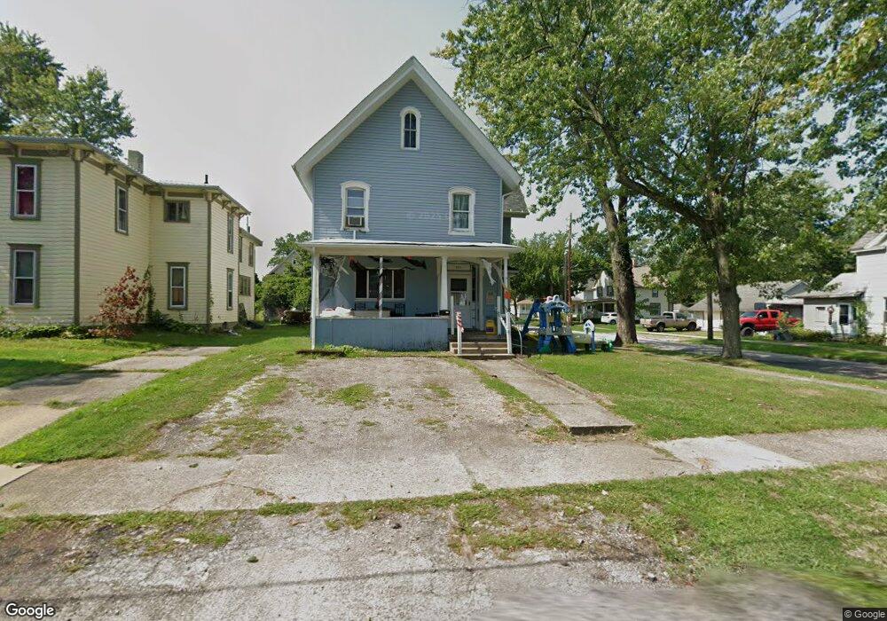
249 Whitney St Conneaut, OH 44030
Estimated Value: $86,000 - $134,000
6
Beds
2
Baths
2,721
Sq Ft
$40/Sq Ft
Est. Value
About This Home
This home is located at 249 Whitney St, Conneaut, OH 44030 and is currently estimated at $109,858, approximately $40 per square foot. 249 Whitney St is a home located in Ashtabula County with nearby schools including Lakeshore Primary Elementary School, Gateway Elementary School, and Conneaut Middle School.
Ownership History
Date
Name
Owned For
Owner Type
Purchase Details
Closed on
Oct 1, 2007
Sold by
Hsbc Bank Usa Na
Bought by
Specht Lisa M
Current Estimated Value
Purchase Details
Closed on
Jul 13, 2006
Sold by
Seaforth Robert
Bought by
Hsbc Bank Usa Na
Purchase Details
Closed on
Apr 12, 2005
Sold by
Zimmerman John L and Zimmerman Jane F
Bought by
Seaforth Robert
Home Financials for this Owner
Home Financials are based on the most recent Mortgage that was taken out on this home.
Original Mortgage
$84,500
Interest Rate
9%
Mortgage Type
Fannie Mae Freddie Mac
Create a Home Valuation Report for This Property
The Home Valuation Report is an in-depth analysis detailing your home's value as well as a comparison with similar homes in the area
Home Values in the Area
Average Home Value in this Area
Purchase History
| Date | Buyer | Sale Price | Title Company |
|---|---|---|---|
| Specht Lisa M | $20,000 | Attorney | |
| Hsbc Bank Usa Na | $38,000 | None Available | |
| Seaforth Robert | $84,500 | Midland Title |
Source: Public Records
Mortgage History
| Date | Status | Borrower | Loan Amount |
|---|---|---|---|
| Previous Owner | Seaforth Robert | $84,500 |
Source: Public Records
Tax History Compared to Growth
Tax History
| Year | Tax Paid | Tax Assessment Tax Assessment Total Assessment is a certain percentage of the fair market value that is determined by local assessors to be the total taxable value of land and additions on the property. | Land | Improvement |
|---|---|---|---|---|
| 2024 | $1,710 | $23,380 | $2,240 | $21,140 |
| 2023 | $1,110 | $23,380 | $2,240 | $21,140 |
| 2022 | $972 | $18,030 | $1,750 | $16,280 |
| 2021 | $989 | $18,030 | $1,750 | $16,280 |
| 2020 | $988 | $18,030 | $1,750 | $16,280 |
| 2019 | $778 | $13,900 | $1,190 | $12,710 |
| 2018 | $743 | $13,900 | $1,190 | $12,710 |
| 2017 | $870 | $13,900 | $1,190 | $12,710 |
| 2016 | $990 | $20,270 | $1,750 | $18,520 |
| 2015 | $1,000 | $20,270 | $1,750 | $18,520 |
| 2014 | $885 | $20,270 | $1,750 | $18,520 |
| 2013 | $600 | $14,110 | $1,650 | $12,460 |
Source: Public Records
Map
Nearby Homes
- 247 Whitney St
- 681 Madison St
- 919 Lincoln Dr
- 527 State St
- 455 Main St
- 18 Hillcrest Ct
- 251 St Rt 7
- 373 Main St
- 354 Main St
- 429 Depot St
- 535 Blair St
- 459 Mill St
- 0 Chestnut St Unit 5120761
- 405 Bliss Ave
- 210 W Main Rd
- 381 Bliss Ave
- 448 Sandusky St Unit 450
- 1036 Golfview Dr
- 202 W Main Rd Unit Lot 150
- 533 Mill St