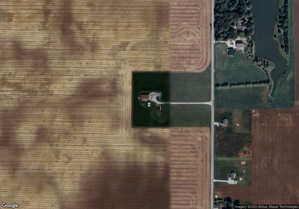
2490 N 600 W Thorntown, IN 46071
Estimated Value: $351,000 - $506,856
3
Beds
1
Bath
1,872
Sq Ft
$228/Sq Ft
Est. Value
About This Home
This home is located at 2490 N 600 W, Thorntown, IN 46071 and is currently estimated at $427,464, approximately $228 per square foot. 2490 N 600 W is a home located in Boone County with nearby schools including Western Boone Junior/Senior High School.
Create a Home Valuation Report for This Property
The Home Valuation Report is an in-depth analysis detailing your home's value as well as a comparison with similar homes in the area
Home Values in the Area
Average Home Value in this Area
Tax History Compared to Growth
Tax History
| Year | Tax Paid | Tax Assessment Tax Assessment Total Assessment is a certain percentage of the fair market value that is determined by local assessors to be the total taxable value of land and additions on the property. | Land | Improvement |
|---|---|---|---|---|
| 2024 | $2,109 | $317,500 | $48,900 | $268,600 |
| 2023 | $2,329 | $301,400 | $45,700 | $255,700 |
| 2022 | $2,086 | $260,400 | $42,500 | $217,900 |
| 2021 | $1,911 | $230,400 | $40,800 | $189,600 |
| 2020 | $1,749 | $213,300 | $40,700 | $172,600 |
| 2019 | $1,650 | $206,700 | $43,000 | $163,700 |
| 2018 | $1,496 | $193,200 | $43,400 | $149,800 |
| 2017 | $1,458 | $192,800 | $45,300 | $147,500 |
| 2016 | $1,396 | $191,100 | $46,200 | $144,900 |
| 2014 | $1,216 | $179,800 | $47,000 | $132,800 |
| 2013 | $1,434 | $186,100 | $43,200 | $142,900 |
Source: Public Records
Map
Nearby Homes
- 5388 W Hazelrigg Rd
- 690 N 600 W
- 695 N 650 W
- 7820 W State Road 32
- 16926 Daly Dr
- 4535 N Us Hwy 52
- 3502 W 450 N
- 440 Indiana 75
- 5779 W State Road 47
- 219 S Vine St
- 117 W Plum St
- 223 S West St
- 1321 Locust Place
- Aspen II Plan at Westfall Place
- Ironwood Plan at Westfall Place
- Cooper Plan at Westfall Place
- Norway Plan at Westfall Place
- Juniper Plan at Westfall Place
- Ashton Plan at Westfall Place
- Empress Plan at Westfall Place