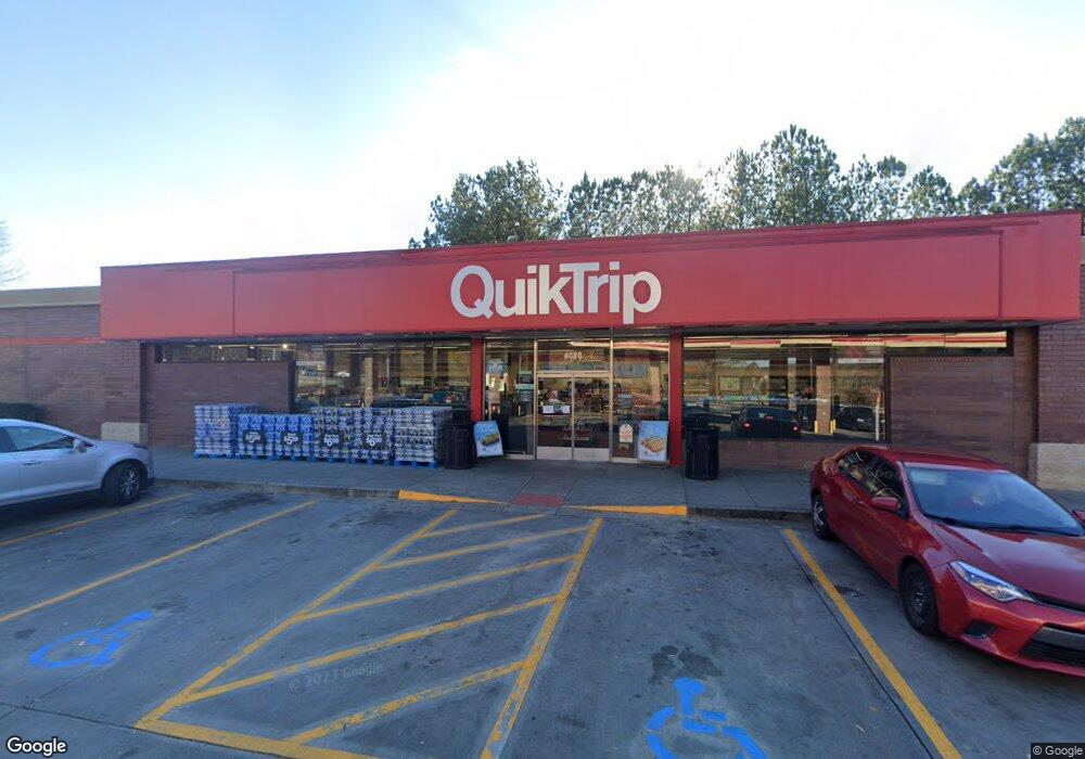
2490 Satellite Blvd Buford, GA 30518
Estimated Value: $1,132,728
Studio
--
Bath
301,435
Sq Ft
$4/Sq Ft
Est. Value
About This Home
This home is located at 2490 Satellite Blvd, Buford, GA 30518 and is currently estimated at $1,132,728, approximately $3 per square foot. 2490 Satellite Blvd is a home located in Gwinnett County with nearby schools including Buford Elementary School, Buford Senior Academy, and Buford Academy.
Ownership History
Date
Name
Owned For
Owner Type
Purchase Details
Closed on
Jul 11, 2019
Sold by
Sawyers Enterprises Inc
Bought by
Sheel Sahney Llc
Current Estimated Value
Purchase Details
Closed on
Jan 23, 2015
Sold by
Sawyers Enterprises Inc
Bought by
Quiktrip Corp
Purchase Details
Closed on
Jan 27, 2000
Sold by
Ga 20 Partners Llc
Bought by
Sawyers Enterprises Inc
Create a Home Valuation Report for This Property
The Home Valuation Report is an in-depth analysis detailing your home's value as well as a comparison with similar homes in the area
Home Values in the Area
Average Home Value in this Area
Purchase History
| Date | Buyer | Sale Price | Title Company |
|---|---|---|---|
| Sheel Sahney Llc | $650,000 | -- | |
| Quiktrip Corp | $225,000 | -- | |
| Sawyers Enterprises Inc | $850,000 | -- |
Source: Public Records
Tax History
| Year | Tax Paid | Tax Assessment Tax Assessment Total Assessment is a certain percentage of the fair market value that is determined by local assessors to be the total taxable value of land and additions on the property. | Land | Improvement |
|---|---|---|---|---|
| 2025 | -- | $293,440 | $293,440 | -- |
| 2024 | $4,211 | $293,440 | $293,440 | -- |
| 2023 | $4,211 | $226,880 | $226,880 | $0 |
| 2022 | $3,256 | $226,880 | $226,880 | $0 |
| 2021 | $3,256 | $226,880 | $226,880 | $0 |
| 2020 | $3,256 | $226,880 | $226,880 | $0 |
| 2019 | $4,000 | $308,680 | $308,680 | $0 |
| 2018 | $4,000 | $308,680 | $308,680 | $0 |
| 2016 | $3,956 | $308,680 | $308,680 | $0 |
| 2015 | $4,335 | $326,720 | $326,720 | $0 |
| 2014 | $4,407 | $326,720 | $326,720 | $0 |
Source: Public Records
Map
Nearby Homes
- 0 French Blvd
- 3735 Fir Dr
- 101 Maddox Rd
- 1669 Centerville Dr
- 1781 Plunketts Rd
- 4197 Reynolds Place
- 3645 Knoll Crest Trail
- 2151 E Maddox Rd
- 3843 Morning Meadow Ln
- 2680 Buford Hwy NE
- 1264 Brynhill Ct
- 1877 Castleberry Ln
- 1866 Castleberry Ln
- 783 Kimball Ln
- 4316 Woodland Bank Blvd
- 4245 Woodland Bank Blvd
- 2140 Harvest Ridge Cir
- 1785 Plunketts Rd
- 4526 Magnolia Club Cir
- 2689 Woodward Down Trail NE
Your Personal Tour Guide
Ask me questions while you tour the home.