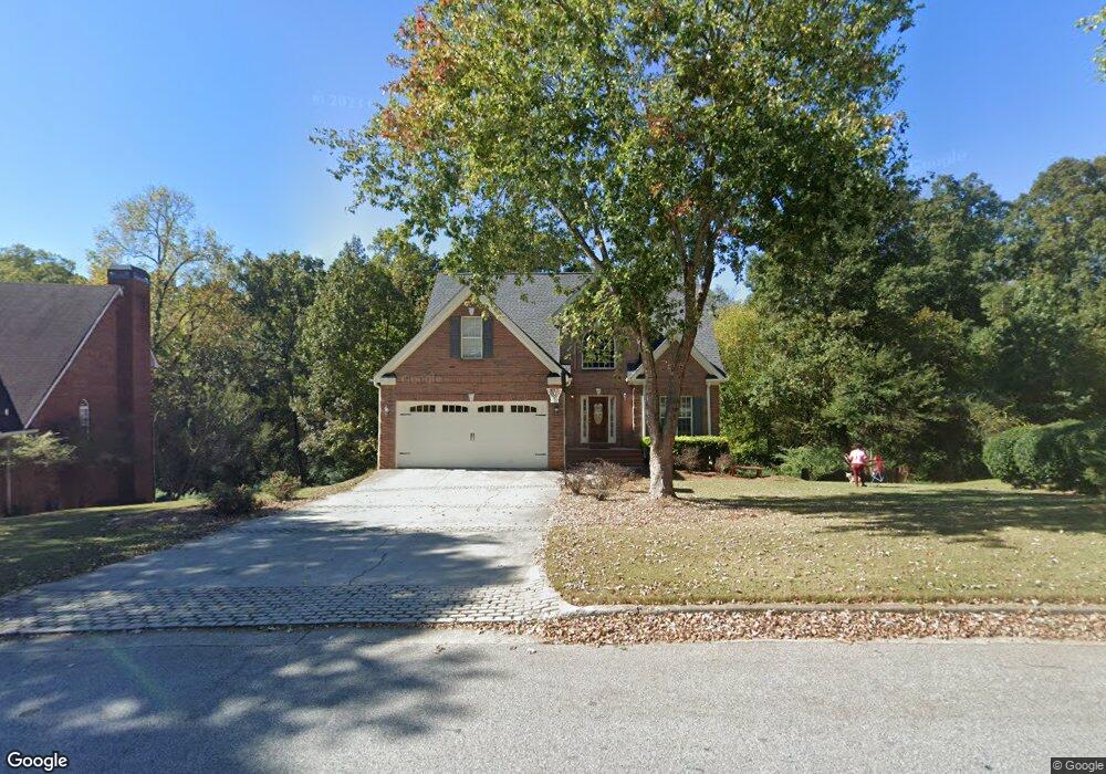
2491 Weatherstone Cir SE Unit 7 Conyers, GA 30094
Estimated Value: $370,589 - $417,000
3
Beds
4
Baths
2,206
Sq Ft
$180/Sq Ft
Est. Value
About This Home
This home is located at 2491 Weatherstone Cir SE Unit 7, Conyers, GA 30094 and is currently estimated at $396,897, approximately $179 per square foot. 2491 Weatherstone Cir SE Unit 7 is a home located in Rockdale County with nearby schools including Flat Shoals Elementary School, Edwards Middle School, and Rockdale County High School.
Ownership History
Date
Name
Owned For
Owner Type
Purchase Details
Closed on
Aug 19, 2002
Sold by
Castle Group Homes Inc
Bought by
Tyson Malcom and Tyson Melissa
Current Estimated Value
Home Financials for this Owner
Home Financials are based on the most recent Mortgage that was taken out on this home.
Original Mortgage
$204,800
Outstanding Balance
$86,537
Interest Rate
6.53%
Mortgage Type
New Conventional
Estimated Equity
$310,360
Create a Home Valuation Report for This Property
The Home Valuation Report is an in-depth analysis detailing your home's value as well as a comparison with similar homes in the area
Home Values in the Area
Average Home Value in this Area
Purchase History
| Date | Buyer | Sale Price | Title Company |
|---|---|---|---|
| Tyson Malcom | $215,600 | -- |
Source: Public Records
Mortgage History
| Date | Status | Borrower | Loan Amount |
|---|---|---|---|
| Open | Tyson Malcom | $204,800 |
Source: Public Records
Tax History Compared to Growth
Tax History
| Year | Tax Paid | Tax Assessment Tax Assessment Total Assessment is a certain percentage of the fair market value that is determined by local assessors to be the total taxable value of land and additions on the property. | Land | Improvement |
|---|---|---|---|---|
| 2024 | $4,067 | $162,680 | $30,920 | $131,760 |
| 2023 | $3,674 | $152,600 | $30,800 | $121,800 |
| 2022 | $2,991 | $126,000 | $24,960 | $101,040 |
| 2021 | $2,647 | $105,800 | $20,800 | $85,000 |
| 2020 | $2,371 | $93,120 | $17,760 | $75,360 |
| 2019 | $2,216 | $86,160 | $10,800 | $75,360 |
| 2018 | $1,734 | $70,120 | $10,800 | $59,320 |
| 2017 | $1,647 | $66,600 | $10,800 | $55,800 |
| 2016 | $1,522 | $66,600 | $10,800 | $55,800 |
| 2015 | $1,293 | $58,600 | $9,320 | $49,280 |
| 2014 | $1,012 | $52,920 | $8,000 | $44,920 |
| 2013 | -- | $83,280 | $13,600 | $69,680 |
Source: Public Records
Map
Nearby Homes
- 340 Windsor Walk SE
- 2631 Rolling Hills Way SE
- 309 Windsor Walk SE Unit 1
- 1601 Creek Crossing SE
- 1420 Hillside Place SE
- Boston Plan at Millers Pointe
- Atlanta Plan at Millers Pointe
- Columbus Plan at Millers Pointe
- 2464 Lennox Rd SE
- 1508 Hillside Dr SE
- 2537 Lennox Rd SE
- 2608 Downing Park Dr SE
- 2370 Ebenezer Rd SE
- 1511 Hillside Dr SE
- 2617 Laurel Woods Ln SE Unit 3
- 250 Smile Dr SE
- 2717 Stanton Woods Dr SE
- 2197 Boxwood Cir
- 660 Kirkus Dr SE
- 170 Old Mill Trail SW
- 2501 Weatherstone Cir SE
- 2511 Weatherstone Cir SE
- 2471 Weatherstone Cir SE Unit 4
- 2471 Weatherstone Cir SE Unit 4/210
- 413 Stanton Ridge Way SE
- 2480 Weatherstone Cir SE
- 2490 Weatherstone Cir SE
- 409 Stanton Ridge Way SE Unit 4
- 2521 Weatherstone Cir SE Unit 7
- 2401 Danbury Ct SE Unit 4
- 2401 Danbury Ct SE
- 2461 Weatherstone Cir SE
- 2510 Weatherstone Cir SE Unit 7
- 405 Stanton Ridge Way SE
- 420 Stanton Ridge Way SE
- 2531 Weatherstone Cir SE
- 412 Stanton Ridge Way SE Unit 4
- 2411 Danbury Ct SE Unit 4
- 401 Stanton Ridge Way SE
- 401 Stanton Ridge Way SE