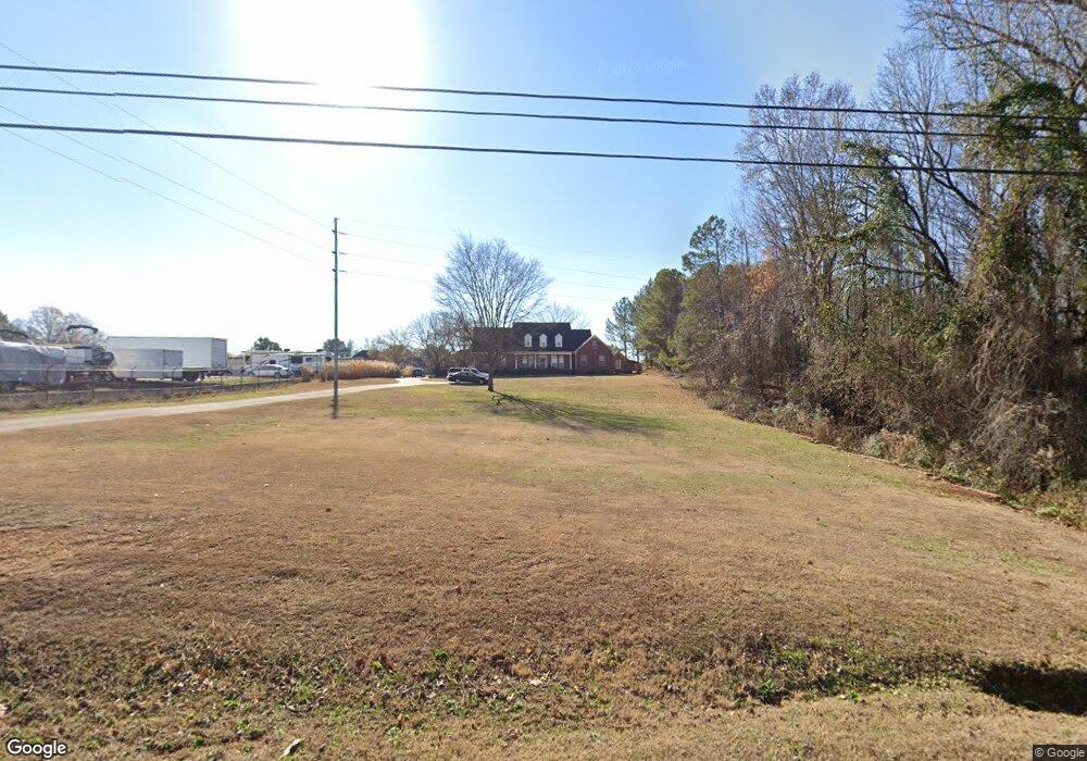
24920 Nick Davis Rd Athens, AL 35613
Oakdale NeighborhoodEstimated Value: $495,000 - $528,000
5
Beds
3
Baths
3,600
Sq Ft
$142/Sq Ft
Est. Value
About This Home
This home is located at 24920 Nick Davis Rd, Athens, AL 35613 and is currently estimated at $511,290, approximately $142 per square foot. 24920 Nick Davis Rd is a home located in Limestone County with nearby schools including Creekside Elementary School, East Limestone High School, and Lindsay Lane Christian Academy.
Ownership History
Date
Name
Owned For
Owner Type
Purchase Details
Closed on
Sep 9, 2008
Sold by
Brown Joshua M and Brown Kimberly H
Bought by
Long Raymond A and Long Anna R
Current Estimated Value
Home Financials for this Owner
Home Financials are based on the most recent Mortgage that was taken out on this home.
Original Mortgage
$261,200
Outstanding Balance
$173,485
Interest Rate
6.49%
Estimated Equity
$337,805
Create a Home Valuation Report for This Property
The Home Valuation Report is an in-depth analysis detailing your home's value as well as a comparison with similar homes in the area
Home Values in the Area
Average Home Value in this Area
Purchase History
| Date | Buyer | Sale Price | Title Company |
|---|---|---|---|
| Long Raymond A | $275,000 | -- |
Source: Public Records
Mortgage History
| Date | Status | Borrower | Loan Amount |
|---|---|---|---|
| Open | Long Raymond A | $261,200 |
Source: Public Records
Tax History Compared to Growth
Tax History
| Year | Tax Paid | Tax Assessment Tax Assessment Total Assessment is a certain percentage of the fair market value that is determined by local assessors to be the total taxable value of land and additions on the property. | Land | Improvement |
|---|---|---|---|---|
| 2024 | $1,229 | $42,720 | $0 | $0 |
| 2023 | $1,259 | $42,380 | $0 | $0 |
| 2022 | $1,025 | $34,940 | $0 | $0 |
| 2021 | $915 | $31,280 | $0 | $0 |
| 2020 | $847 | $29,000 | $0 | $0 |
| 2019 | $819 | $28,080 | $0 | $0 |
| 2018 | $777 | $26,660 | $0 | $0 |
| 2017 | $747 | $26,660 | $0 | $0 |
| 2016 | $805 | $286,000 | $0 | $0 |
| 2015 | $835 | $28,600 | $0 | $0 |
| 2014 | $819 | $0 | $0 | $0 |
Source: Public Records
Map
Nearby Homes
- 16436 Mahogany Dr
- 16604 Demi Dr
- 16293 Mooresville Rd
- 16715 Sandy Ln
- 3.80 Nick Davis Rd
- 22122 Mulligan Pkwy
- Lot 5 Pepper Rd
- 17361 Meadows Rd
- 16675 Bellewood Dr
- Tract 2 1.54 AC Mooresville Rd
- Tract 1 1.13 AC Mooresville Rd
- * Holland Heights
- tract 2 Holland Heights
- 17185 Holland Heights
- Lot 5 Bear Bryant Dr
- Lot 8 Bear Bryant Dr
- Lot 3 Bear Bryant Dr
- 16833 Ted Childs Dr
- 16675 Ted Childs Dr
- Dogwood Plan at Kennesaw Creek
- 24925 Blossom Ln
- 24899 Blossom Ln
- 24949 Blossom Ln
- 24885 Blossom Ln
- 24975 Blossom Ln
- 24873 Blossom Ln
- 24924 Blossom Ln
- 24991 Blossom Ln
- 24874 Blossom Ln
- 24950 Blossom Ln
- 24865 Blossom Ln
- 24990 Blossom Ln
- 17020 Forest Hill Dr
- 24859 Blossom Ln
- 5 Mooresville Rd Unit LOT 5
- 5 Mooresville Rd Unit LOT 1
- 24844 Blossom Ln
- 16910 Mooresville Rd
- 17050 Forest Hill Dr
- 17011 Forest Hill Dr