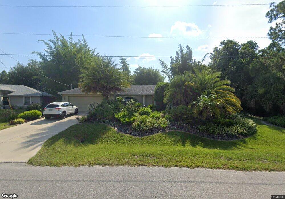
2493 Brewster Rd North Port, FL 34288
Estimated Value: $264,000 - $331,000
3
Beds
2
Baths
1,372
Sq Ft
$214/Sq Ft
Est. Value
About This Home
This home is located at 2493 Brewster Rd, North Port, FL 34288 and is currently estimated at $292,966, approximately $213 per square foot. 2493 Brewster Rd is a home located in Sarasota County with nearby schools including Atwater Elementary School, North Port High School, and Woodland Middle School.
Ownership History
Date
Name
Owned For
Owner Type
Purchase Details
Closed on
Dec 10, 2004
Sold by
Residential Development Corp
Bought by
Senesac Kathy L
Current Estimated Value
Home Financials for this Owner
Home Financials are based on the most recent Mortgage that was taken out on this home.
Original Mortgage
$118,000
Outstanding Balance
$58,858
Interest Rate
5.67%
Mortgage Type
Purchase Money Mortgage
Estimated Equity
$234,108
Purchase Details
Closed on
Jul 31, 2002
Sold by
Clerk Circuit Court
Bought by
Residential Dev Corp
Create a Home Valuation Report for This Property
The Home Valuation Report is an in-depth analysis detailing your home's value as well as a comparison with similar homes in the area
Home Values in the Area
Average Home Value in this Area
Purchase History
| Date | Buyer | Sale Price | Title Company |
|---|---|---|---|
| Senesac Kathy L | $147,900 | -- | |
| Residential Dev Corp | $1,500 | -- |
Source: Public Records
Mortgage History
| Date | Status | Borrower | Loan Amount |
|---|---|---|---|
| Open | Senesac Kathy L | $118,000 |
Source: Public Records
Tax History Compared to Growth
Tax History
| Year | Tax Paid | Tax Assessment Tax Assessment Total Assessment is a certain percentage of the fair market value that is determined by local assessors to be the total taxable value of land and additions on the property. | Land | Improvement |
|---|---|---|---|---|
| 2024 | $2,018 | $124,995 | -- | -- |
| 2023 | $2,018 | $121,354 | $0 | $0 |
| 2022 | $1,608 | $96,849 | $0 | $0 |
| 2021 | $1,578 | $94,028 | $0 | $0 |
| 2020 | $1,547 | $92,730 | $0 | $0 |
| 2019 | $1,499 | $90,645 | $0 | $0 |
| 2018 | $1,375 | $88,955 | $0 | $0 |
| 2017 | $1,336 | $87,125 | $0 | $0 |
| 2016 | $1,323 | $128,300 | $5,100 | $123,200 |
| 2015 | $1,336 | $112,400 | $4,800 | $107,600 |
| 2014 | $1,314 | $82,825 | $0 | $0 |
Source: Public Records
Map
Nearby Homes
- 0 Van Leer Ave Unit MFRC7505609
- 2223 Hattie Ct
- 0 E Price Blvd Unit MFRA4663381
- 0 E Price Blvd Unit D6125861
- 0 E Price Blvd Unit D6125860
- 0 E Price Blvd Unit MFRA4615768
- 0 E Price Blvd Unit D6125858
- 0 E Price Blvd Unit LOT 9 MFRS5122578
- 0 E Price Blvd Unit MFRTB8324590
- 0 E Price Blvd Unit MFRA4663384
- 0 E Price Blvd Unit MFRA4568243
- 0 E Price Blvd Unit D6125859
- 0 E Price Blvd Unit D6125846
- 0 E Price Blvd Unit LOT 7 MFRS5122577
- 2479 Grandview Dr
- 1901 E Price Blvd
- 1072 Henning St
- 2375 Grandview Dr
- 2367 Grandview Dr
- 2563 Longworthy Rd
- 2509 Brewster Rd
- 2159 Wenona Dr
- 2171 Wenona Dr
- 2147 Wenona Dr
- 0000 Van Leer Ave
- 2135 Wenona Dr
- 2408 Van Leer Ave
- 2536 Brewster
- 2541 Brewster Rd
- 2445 Brewster Rd
- 2193 Wenona Dr
- 2440 Van Leer Ave
- 2469 Van Leer Ave
- 0 Sanborn Ave Unit D5923215
- 0 Sanborn Ave Unit A4484123
- 0 Sanborn Ave Unit A4448169
- 2170 Wenona Dr
- 2146 Wenona Dr
- 2439 Sanborn Ave