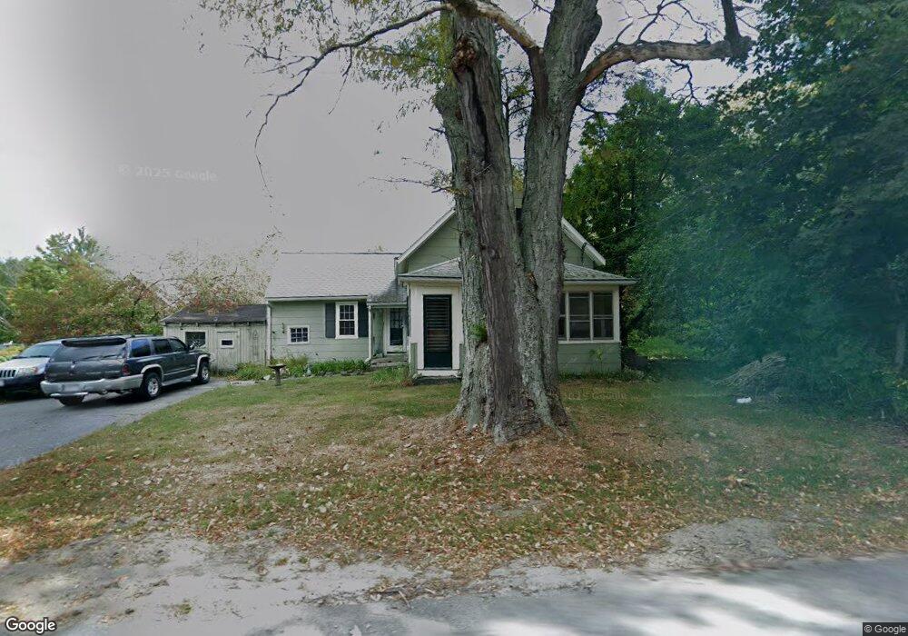
2493 Main St Lancaster, MA 01523
Estimated Value: $434,349 - $495,000
3
Beds
1
Bath
1,464
Sq Ft
$317/Sq Ft
Est. Value
About This Home
This home is located at 2493 Main St, Lancaster, MA 01523 and is currently estimated at $464,587, approximately $317 per square foot. 2493 Main St is a home located in Worcester County with nearby schools including Mary Rowlandson Elementary School, Luther Burbank Middle School, and Nashoba Regional High School.
Ownership History
Date
Name
Owned For
Owner Type
Purchase Details
Closed on
Sep 30, 1994
Sold by
Cande Richard and Cande Geraldine
Bought by
Vandegrift Linda
Current Estimated Value
Home Financials for this Owner
Home Financials are based on the most recent Mortgage that was taken out on this home.
Original Mortgage
$95,000
Interest Rate
8.5%
Mortgage Type
Purchase Money Mortgage
Create a Home Valuation Report for This Property
The Home Valuation Report is an in-depth analysis detailing your home's value as well as a comparison with similar homes in the area
Home Values in the Area
Average Home Value in this Area
Purchase History
| Date | Buyer | Sale Price | Title Company |
|---|---|---|---|
| Vandegrift Linda | $100,000 | -- |
Source: Public Records
Mortgage History
| Date | Status | Borrower | Loan Amount |
|---|---|---|---|
| Open | Vandegrift Linda | $60,000 | |
| Closed | Vandegrift Linda | $95,000 | |
| Previous Owner | Vandegrift Linda | $16,000 |
Source: Public Records
Tax History Compared to Growth
Tax History
| Year | Tax Paid | Tax Assessment Tax Assessment Total Assessment is a certain percentage of the fair market value that is determined by local assessors to be the total taxable value of land and additions on the property. | Land | Improvement |
|---|---|---|---|---|
| 2025 | $5,234 | $323,900 | $110,900 | $213,000 |
| 2024 | $5,482 | $314,000 | $101,200 | $212,800 |
| 2023 | $0 | $283,100 | $92,000 | $191,100 |
| 2022 | $4,754 | $244,400 | $85,100 | $159,300 |
| 2021 | $4,551 | $227,800 | $85,100 | $142,700 |
| 2020 | $4,345 | $218,900 | $85,100 | $133,800 |
| 2019 | $4,191 | $212,200 | $85,100 | $127,100 |
| 2018 | $3,197 | $160,000 | $85,100 | $74,900 |
| 2016 | $3,015 | $154,200 | $84,200 | $70,000 |
| 2015 | $2,889 | $154,000 | $84,200 | $69,800 |
| 2014 | $2,819 | $149,100 | $84,200 | $64,900 |
Source: Public Records
Map
Nearby Homes
- 2237 Main St
- 91 Berrington Rd Unit 91
- 97 Berrington Rd Unit 97
- 213 Bayberry Hill Ln
- 64 Sycamore Dr
- 12 Drummer Ln
- 50 Indian Ridge Dr
- 303 Ponakin Rd
- 765 Brockelman Road Lot C
- 851 Lancaster St
- 1497 Lunenburg Rd
- 35 Mcgovern Blvd
- 2038-1 Laurel Hill Ln
- 2038 Laurel Hill Ln Unit LOT 18
- 39 Legate Hill Rd
- 1237 Central St Unit 15
- 121 &125 Flanagan Hill Rd
- 0 Brockelman Rd Unit 73424117
- 675 Willard St
- 17 Turtle Ln Unit 17